131 Patrick Cir State College, PA 16801
Estimated Value: $505,000 - $525,000
4
Beds
3
Baths
2,882
Sq Ft
$180/Sq Ft
Est. Value
About This Home
This home is located at 131 Patrick Cir, State College, PA 16801 and is currently estimated at $518,685, approximately $179 per square foot. 131 Patrick Cir is a home located in Centre County with nearby schools including Spring Creek Elementary, Mount Nittany Middle School, and State College Area High School.
Ownership History
Date
Name
Owned For
Owner Type
Purchase Details
Closed on
Nov 15, 2017
Sold by
Frankhouser Paul L
Bought by
Lu Endi and Chen Saho Yan
Current Estimated Value
Home Financials for this Owner
Home Financials are based on the most recent Mortgage that was taken out on this home.
Original Mortgage
$2,360,000
Outstanding Balance
$1,977,568
Interest Rate
3.85%
Mortgage Type
New Conventional
Estimated Equity
-$1,458,883
Purchase Details
Closed on
Aug 22, 2007
Sold by
Frankhouser Yumi O
Bought by
Frankhouser Paul L
Create a Home Valuation Report for This Property
The Home Valuation Report is an in-depth analysis detailing your home's value as well as a comparison with similar homes in the area
Home Values in the Area
Average Home Value in this Area
Purchase History
| Date | Buyer | Sale Price | Title Company |
|---|---|---|---|
| Lu Endi | $295,000 | None Available | |
| Frankhouser Paul L | -- | None Available |
Source: Public Records
Mortgage History
| Date | Status | Borrower | Loan Amount |
|---|---|---|---|
| Open | Lu Endi | $2,360,000 |
Source: Public Records
Tax History Compared to Growth
Tax History
| Year | Tax Paid | Tax Assessment Tax Assessment Total Assessment is a certain percentage of the fair market value that is determined by local assessors to be the total taxable value of land and additions on the property. | Land | Improvement |
|---|---|---|---|---|
| 2025 | $5,485 | $84,560 | $24,560 | $60,000 |
| 2024 | $5,208 | $84,560 | $24,560 | $60,000 |
| 2023 | $5,208 | $84,560 | $24,560 | $60,000 |
| 2022 | $5,076 | $84,560 | $24,560 | $60,000 |
| 2021 | $5,076 | $84,560 | $24,560 | $60,000 |
| 2020 | $5,051 | $84,560 | $24,560 | $60,000 |
| 2019 | $4,245 | $84,560 | $24,560 | $60,000 |
| 2018 | $4,853 | $84,560 | $24,560 | $60,000 |
| 2017 | $4,796 | $84,560 | $24,560 | $60,000 |
| 2016 | -- | $84,560 | $24,560 | $60,000 |
| 2015 | -- | $84,560 | $24,560 | $60,000 |
| 2014 | -- | $84,560 | $24,560 | $60,000 |
Source: Public Records
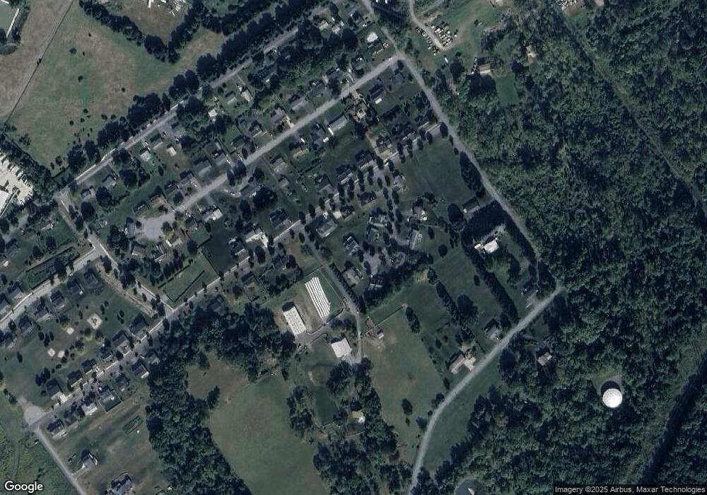
Map
Nearby Homes
- ON 1st Ave
- 213 1st Ave
- 246 1st Ave
- 250 1st Ave
- 423 Farmhill Dr
- 429 Farmhill Dr
- 211 Farmhill Dr
- 217 Farmhill Dr
- 335 Gerald St
- 696 Wayne St
- 151 Sunhaven Lane Lot Unit 61
- 418 Pike St
- 173 Dale St
- 743 Henszey St
- 109 Buchanan Ave
- 1000 Cortland Dr
- 833 Elmwood St
- 108 Grandview Rd
- 110 Green Acres Ln
- 140 Pepperberry Ln