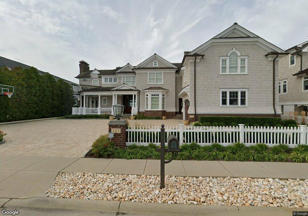
131 Pershing Blvd Lavallette, NJ 08735
Estimated Value: $3,489,000 - $5,529,000
5
Beds
8
Baths
6,230
Sq Ft
$740/Sq Ft
Est. Value
About This Home
This home is located at 131 Pershing Blvd, Lavallette, NJ 08735 and is currently estimated at $4,611,738, approximately $740 per square foot. 131 Pershing Blvd is a home located in Ocean County with nearby schools including Lavallette Elementary School.
Ownership History
Date
Name
Owned For
Owner Type
Purchase Details
Closed on
Jan 25, 2006
Sold by
West Point Island House Llc
Bought by
Dinallo Donald N
Current Estimated Value
Purchase Details
Closed on
Aug 15, 2005
Sold by
Jones Kenneth and Robinson Deborah
Bought by
West Point Island House Llc
Purchase Details
Closed on
Apr 28, 2005
Sold by
Dowling Eugenia J and Dowling William
Bought by
West Point Island House Llc
Purchase Details
Closed on
Jul 26, 1998
Sold by
Jones Herbert E and Jones Jean N
Bought by
Jones Herbert E and Jones Jean N
Create a Home Valuation Report for This Property
The Home Valuation Report is an in-depth analysis detailing your home's value as well as a comparison with similar homes in the area
Home Values in the Area
Average Home Value in this Area
Purchase History
| Date | Buyer | Sale Price | Title Company |
|---|---|---|---|
| Dinallo Donald N | $3,025,000 | None Available | |
| West Point Island House Llc | -- | -- | |
| West Point Island House Llc | -- | -- | |
| Jones Herbert E | -- | -- |
Source: Public Records
Tax History
| Year | Tax Paid | Tax Assessment Tax Assessment Total Assessment is a certain percentage of the fair market value that is determined by local assessors to be the total taxable value of land and additions on the property. | Land | Improvement |
|---|---|---|---|---|
| 2025 | $33,933 | $3,346,400 | $1,878,500 | $1,467,900 |
| 2024 | $30,720 | $3,346,400 | $1,878,500 | $1,467,900 |
| 2023 | $28,578 | $3,346,400 | $1,878,500 | $1,467,900 |
| 2022 | $28,578 | $3,346,400 | $1,878,500 | $1,467,900 |
| 2021 | $27,641 | $3,346,400 | $1,878,500 | $1,467,900 |
| 2020 | $27,474 | $3,346,400 | $1,878,500 | $1,467,900 |
| 2019 | $30,497 | $3,115,100 | $1,484,500 | $1,630,600 |
| 2018 | $30,248 | $3,115,100 | $1,484,500 | $1,630,600 |
| 2017 | $30,559 | $3,115,100 | $1,484,500 | $1,630,600 |
| 2016 | $29,562 | $3,115,100 | $1,484,500 | $1,630,600 |
| 2015 | $28,939 | $3,115,100 | $1,484,500 | $1,630,600 |
| 2014 | $29,064 | $3,115,100 | $1,484,500 | $1,630,600 |
Source: Public Records
Map
Nearby Homes
- 151 Pershing Blvd
- 153 Pershing Blvd
- 108 Dickman Dr
- 47 Pershing Blvd
- 1919 Bay Blvd Unit C13
- 1919 Bay Blvd Unit A11
- 1919 Bay Blvd Unit B37
- 1919 Bay Blvd Unit B29
- 2060 Route 35 S Unit 3
- 1922 Bay Blvd
- 2052 Baltimore Ave
- 1920 Bay Blvd
- 116 Newark Ave
- 209 1st Ave
- 2033 Route 35 Unit 3
- 113 New Brunswick Ave
- 2030 Route 35 N Unit C
- 1807 Grand Central Ave Unit 2
- 21 Jersey City Ave
- 2000 New Jersey 35
- 127 Pershing Blvd
- 125 Pershing Blvd
- 125 Pershing Blvd Unit LOT 1
- 125 Pershing Blvd Unit LOT 2
- 135 Pershing Blvd
- 124 Pershing Blvd
- 134 Pershing Blvd
- 137 Pershing Blvd
- 36 Morton Dr
- 123 Pershing Blvd
- 33 Bullard Dr
- 35 Bullard Dr
- 139 Pershing Blvd
- 39 Morton Dr
- 34 Morton Dr
- 37 Morton Dr
- 31 Bullard Dr
- 119 Pershing Blvd
- 141 Pershing Blvd
- 144 Pershing Blvd
Your Personal Tour Guide
Ask me questions while you tour the home.