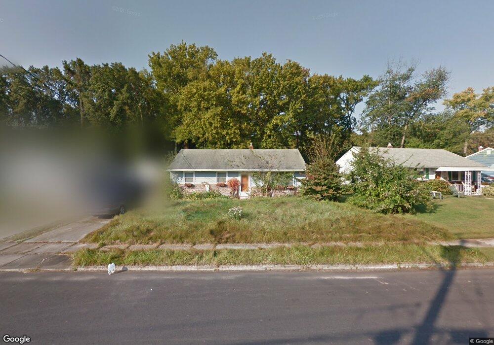
131 Peterson Blvd Woodbury, NJ 08096
Deptford Township NeighborhoodEstimated Value: $231,773 - $285,000
--
Bed
--
Bath
912
Sq Ft
$283/Sq Ft
Est. Value
About This Home
This home is located at 131 Peterson Blvd, Woodbury, NJ 08096 and is currently estimated at $258,193, approximately $283 per square foot. 131 Peterson Blvd is a home located in Gloucester County with nearby schools including Deptford Township High School and Holy Angels Catholic School.
Ownership History
Date
Name
Owned For
Owner Type
Purchase Details
Closed on
Mar 5, 2019
Sold by
Tf8 Jersey Holdings Llc
Bought by
Penterson Llc
Current Estimated Value
Purchase Details
Closed on
Aug 30, 1999
Sold by
Smith Dorothy
Bought by
Taylor David M
Home Financials for this Owner
Home Financials are based on the most recent Mortgage that was taken out on this home.
Original Mortgage
$84,450
Interest Rate
7.5%
Mortgage Type
VA
Create a Home Valuation Report for This Property
The Home Valuation Report is an in-depth analysis detailing your home's value as well as a comparison with similar homes in the area
Home Values in the Area
Average Home Value in this Area
Purchase History
| Date | Buyer | Sale Price | Title Company |
|---|---|---|---|
| Penterson Llc | $39,000 | None Available | |
| Taylor David M | $84,450 | Group 21 Title Agency |
Source: Public Records
Mortgage History
| Date | Status | Borrower | Loan Amount |
|---|---|---|---|
| Previous Owner | Taylor David M | $84,450 |
Source: Public Records
Tax History Compared to Growth
Tax History
| Year | Tax Paid | Tax Assessment Tax Assessment Total Assessment is a certain percentage of the fair market value that is determined by local assessors to be the total taxable value of land and additions on the property. | Land | Improvement |
|---|---|---|---|---|
| 2025 | $4,134 | $115,300 | $39,900 | $75,400 |
| 2024 | $4,001 | $115,300 | $39,900 | $75,400 |
| 2023 | $4,001 | $115,300 | $39,900 | $75,400 |
| 2022 | $3,972 | $115,300 | $39,900 | $75,400 |
| 2021 | $3,916 | $115,300 | $39,900 | $75,400 |
| 2020 | $3,871 | $115,300 | $39,900 | $75,400 |
| 2019 | $3,797 | $115,300 | $39,900 | $75,400 |
| 2018 | $3,712 | $115,300 | $39,900 | $75,400 |
| 2017 | $3,612 | $115,300 | $39,900 | $75,400 |
| 2016 | $3,539 | $115,300 | $39,900 | $75,400 |
| 2015 | $3,429 | $115,300 | $39,900 | $75,400 |
| 2014 | $3,340 | $115,300 | $39,900 | $75,400 |
Source: Public Records
Map
Nearby Homes
- 132 Peterson Blvd
- 338 E Red Bank Ave
- 353 Dare St
- 35 Pinecrest Dr
- 38 Pinecrest Dr
- 615 L1.02 Carteret Ave
- 24 Pinecrest Dr
- 615 Lot: 1.01 Carteret
- 671 Washington Ave
- 703 Washington Ave
- 406 Winding Way
- 60 Lakebridge Dr
- 416 Winding Way
- 626 Green St
- 308 Winding Way Unit C8
- 652 N Broad St
- 723 N Broad St
- 56 Fisher Ave
- 13 Dubois Ave
- 1240 Delsea Dr
- 133 Peterson Blvd
- 129 Peterson Blvd
- 135 Peterson Blvd
- 127 Peterson Blvd
- 125 Peterson Blvd
- 137 Peterson Blvd
- 425 Braun Ct
- 128 Peterson Blvd
- 126 Peterson Blvd
- 421 Braun Ct
- 130 Peterson Blvd
- 139 Peterson Blvd
- 417 Braun Ct
- 124 Peterson Blvd
- 123 Peterson Blvd
- 413 Braun Ct
- 134 Peterson Blvd
- 141 Peterson Blvd
- 429 Macmaster St
- 429 Macmaster Ave