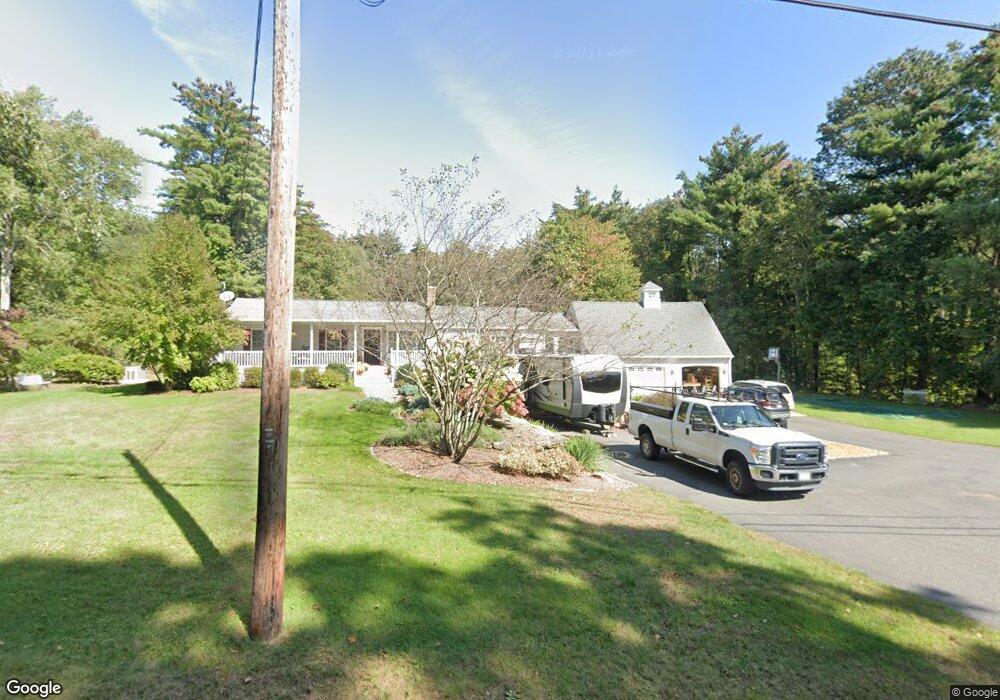
131 Pierce Rd West Brookfield, MA 01585
Estimated Value: $583,176 - $711,000
About This Home
This home is located at 131 Pierce Rd, West Brookfield, MA 01585 and is currently estimated at $645,044, approximately $172 per square foot. 131 Pierce Rd is a home located in Worcester County with nearby schools including Quaboag Regional High School.
Ownership History
We collect this data history from publicly available records. To have your information removed, we recommend requesting removal directly through your county’s website.
Purchase Details
Home Values in the Area
Average Home Value in this Area
Purchase History
We collect this data history from publicly available records. To have your information removed, we recommend requesting removal directly through your county’s website.
| Date | Buyer | Sale Price | Title Company |
|---|---|---|---|
| $80,000 | -- |
Mortgage History
We collect this data history from publicly available records. To have your information removed, we recommend requesting removal directly through your county’s website.
| Date | Status | Borrower | Loan Amount |
|---|---|---|---|
| Open | $49,000 | ||
| Closed | $39,500 | ||
| Open | $98,000 |
Tax History
We collect this data history from publicly available records. To have your information removed, we recommend requesting removal directly through your county’s website.
| Year | Tax Paid | Tax Assessment Tax Assessment Total Assessment is a certain percentage of the fair market value that is determined by local assessors to be the total taxable value of land and additions on the property. | Land | Improvement |
|---|---|---|---|---|
| 2025 | $5,319 | $493,400 | $41,200 | $452,200 |
| 2024 | $5,541 | $493,400 | $41,200 | $452,200 |
| 2023 | $5,418 | $451,900 | $37,200 | $414,700 |
| 2022 | $5,513 | $416,700 | $35,300 | $381,400 |
| 2021 | $3,772 | $379,000 | $35,300 | $343,700 |
| 2020 | $3,587 | $306,400 | $35,300 | $271,100 |
| 2019 | $4,801 | $306,400 | $35,300 | $271,100 |
| 2018 | $4,710 | $293,100 | $35,300 | $257,800 |
| 2017 | $5,536 | $344,700 | $40,500 | $304,200 |
| 2016 | $5,335 | $344,000 | $40,500 | $303,500 |
| 2015 | $4,263 | $284,600 | $40,500 | $244,100 |
Map
- 138 Ragged Hill Rd
- 12 Mill Stone Rd
- 49 Gilbertville Rd
- 68 Lyon Rd
- 21 Beach Dr
- 48 Clearview Dr
- 97 Wickaboag Valley Rd
- 15 Oak Dr
- 38 Morse Ave
- 91 Lake Shore Dr
- 2-8 Ross Ave
- 24 Maple Ave
- 72 Wickaboag Valley Rd
- 11-13 Maple Ave
- 940 Old West Brookfield Rd
- 950 Old West Brookfield Rd
- 0 Cutler Rd Unit 73511499
- 67 Church St
- 38 Warepoint Rd
- 10 Walnut St
- 135 Pierce Rd
- 123 Pierce Rd
- 139 Pierce Rd
- 88 Juniper St
- 126 Pierce Rd
- 150 Pierce Rd
- 94 Juniper St
- 136 Pierce Rd
- 68 Juniper St
- 151 Pierce Rd
- 144 Pierce Rd
- 15 Hemlock St
- LOT-5 Long Hill Rd
- UNT 9 Lakeshore Unit 8
- UNT 8 Lakeshore Dr Unit 8
- UNIT 7 Lakeshore Dr Unit 7
- L#1 Long Hill Rd
- LOT 1 Wigwam Rd
- 25 Whispering Pine Dr
- 157 Pierce Rd
Ask me questions while you tour the home.