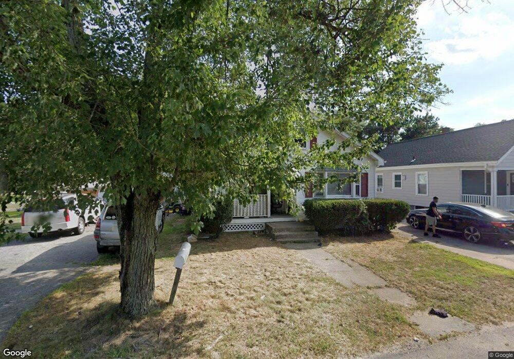
131 Pine St Seekonk, MA 02771
Estimated Value: $389,533 - $509,000
3
Beds
1
Bath
1,038
Sq Ft
$425/Sq Ft
Est. Value
About This Home
This home is located at 131 Pine St, Seekonk, MA 02771 and is currently estimated at $441,633, approximately $425 per square foot. 131 Pine St is a home located in Bristol County with nearby schools including Seekonk High School, St Cecilia School, and Dayspring Christian Academy.
Ownership History
Date
Name
Owned For
Owner Type
Purchase Details
Closed on
Jan 27, 2011
Sold by
Andrede Robert D and Andrade Eliaine F
Bought by
Andrade Elaine F and Andreade Robert D
Current Estimated Value
Purchase Details
Closed on
Aug 4, 1976
Bought by
Andrade Robert D and Andrade Elaine F
Create a Home Valuation Report for This Property
The Home Valuation Report is an in-depth analysis detailing your home's value as well as a comparison with similar homes in the area
Home Values in the Area
Average Home Value in this Area
Purchase History
| Date | Buyer | Sale Price | Title Company |
|---|---|---|---|
| Andrade Elaine F | -- | -- | |
| Andrade Robert D | $19,900 | -- |
Source: Public Records
Mortgage History
| Date | Status | Borrower | Loan Amount |
|---|---|---|---|
| Previous Owner | Andrade Robert D | $50,000 | |
| Previous Owner | Andrade Robert D | $51,757 |
Source: Public Records
Tax History
| Year | Tax Paid | Tax Assessment Tax Assessment Total Assessment is a certain percentage of the fair market value that is determined by local assessors to be the total taxable value of land and additions on the property. | Land | Improvement |
|---|---|---|---|---|
| 2025 | $3,542 | $286,800 | $121,200 | $165,600 |
| 2024 | $3,400 | $275,300 | $121,200 | $154,100 |
| 2023 | $3,204 | $244,400 | $108,100 | $136,300 |
| 2022 | $2,751 | $222,200 | $104,600 | $117,600 |
| 2021 | $2,751 | $202,700 | $87,900 | $114,800 |
| 2020 | $2,616 | $198,600 | $88,900 | $109,700 |
| 2019 | $2,541 | $194,600 | $88,900 | $105,700 |
| 2018 | $2,510 | $188,000 | $85,700 | $102,300 |
| 2017 | $2,294 | $170,400 | $85,700 | $84,700 |
| 2016 | $2,277 | $169,800 | $85,700 | $84,100 |
| 2015 | $2,212 | $167,200 | $85,700 | $81,500 |
Source: Public Records
Map
Nearby Homes
- 0
- 26 Haig Ave
- 0 Perrin Ave
- 127 Ricard St
- 8 Matt's Way
- 99 Roosevelt St
- 16 Matt's Way
- 76 Case Ave Unit 76
- 11 Matt's Way
- 105 Metropolitan Park Ave
- 191 Cherry Hill Dr
- 2 Westdale Ave
- 1150 Newman Ave
- 1251 S Main St
- 660 Pine St
- 30 Eddington St
- 196-198 Knight Ave
- 152 R Burnside Ave
- Lot B Burnside Ave
- 754 Read St
Your Personal Tour Guide
Ask me questions while you tour the home.