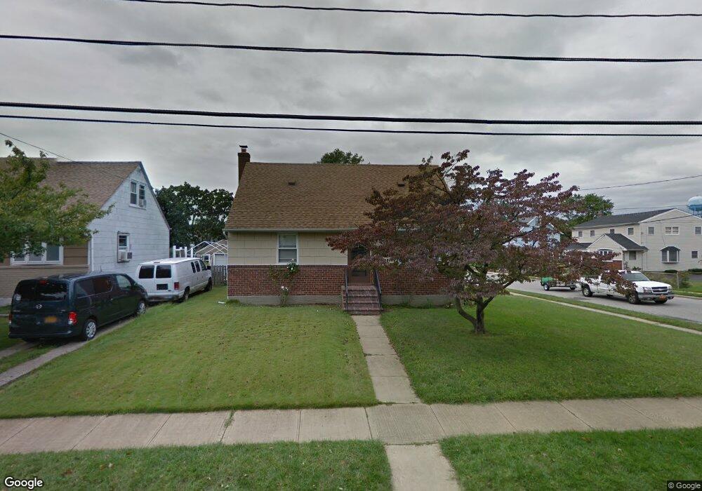
131 Poppy Ave Franklin Square, NY 11010
Estimated Value: $679,000 - $754,731
4
Beds
1
Bath
1,188
Sq Ft
$603/Sq Ft
Est. Value
About This Home
This home is located at 131 Poppy Ave, Franklin Square, NY 11010 and is currently estimated at $716,866, approximately $603 per square foot. 131 Poppy Ave is a home located in Nassau County with nearby schools including St Anne's School.
Ownership History
Date
Name
Owned For
Owner Type
Purchase Details
Closed on
Mar 27, 2019
Sold by
Stango Intervivos Trust
Bought by
Morrone Vincent and Morrone Diana
Current Estimated Value
Home Financials for this Owner
Home Financials are based on the most recent Mortgage that was taken out on this home.
Original Mortgage
$300,000
Outstanding Balance
$264,284
Interest Rate
4.4%
Mortgage Type
New Conventional
Estimated Equity
$452,582
Purchase Details
Closed on
Oct 7, 1999
Sold by
Stango Rita and Estate Of Rita Arena
Bought by
Rita Stango Intervivo Trust
Create a Home Valuation Report for This Property
The Home Valuation Report is an in-depth analysis detailing your home's value as well as a comparison with similar homes in the area
Home Values in the Area
Average Home Value in this Area
Purchase History
| Date | Buyer | Sale Price | Title Company |
|---|---|---|---|
| Morrone Vincent | $430,000 | None Available | |
| Rita Stango Intervivo Trust | -- | First American Title Ins Co |
Source: Public Records
Mortgage History
| Date | Status | Borrower | Loan Amount |
|---|---|---|---|
| Open | Morrone Vincent | $300,000 |
Source: Public Records
Tax History Compared to Growth
Tax History
| Year | Tax Paid | Tax Assessment Tax Assessment Total Assessment is a certain percentage of the fair market value that is determined by local assessors to be the total taxable value of land and additions on the property. | Land | Improvement |
|---|---|---|---|---|
| 2025 | $10,685 | $486 | $289 | $197 |
| 2024 | $4,432 | $487 | $290 | $197 |
| 2023 | $11,504 | $509 | $303 | $206 |
| 2022 | $11,504 | $509 | $303 | $206 |
| 2021 | $15,399 | $499 | $297 | $202 |
| 2020 | $12,325 | $792 | $546 | $246 |
| 2019 | $4,441 | $792 | $546 | $246 |
| 2018 | $7,312 | $792 | $0 | $0 |
| 2017 | $6,591 | $792 | $546 | $246 |
| 2016 | $10,620 | $792 | $546 | $246 |
| 2015 | $3,764 | $792 | $546 | $246 |
| 2014 | $3,764 | $792 | $546 | $246 |
| 2013 | $3,518 | $792 | $546 | $246 |
Source: Public Records
Map
Nearby Homes
- 138 Lincoln Rd
- 170 Mckinley Ave
- 775 Roosevelt St
- 109 Caroline Ave
- 146 Caroline Ave
- 715 Iris St
- 215 Harrison Ave
- 115 Madison Ave
- 32 Madison Ave
- 23 Monroe St
- 235 Lincoln Place
- 166 Franklin St
- 31 Claflin Blvd
- 644 7th St S
- 78 New Hyde Park Rd
- 233 Roxbury Rd S
- 217 Wellington Rd S
- 676 Sobo Ave
- 790 Floral Park Rd
- 56 Fendale St
- 123 Poppy Ave
- 807 Garfield St
- 117 Poppy Ave
- 126 Mckinley Ave
- 120 Mckinley Ave
- 790 Garfield St
- 132 Poppy Ave
- 126 Poppy Ave
- 800 Garfield St
- 113 Poppy Ave
- 120 Poppy Ave
- 116 Mckinley Ave
- 116 Mckinley Ave
- 138 Mckinley Ave
- 116 Poppy Ave
- 782 Garfield St
- 107 Poppy Ave
- 112 Mckinley Ave
- 151 Poppy Ave
- 150 Mckinley Ave