131 Portside Ave Unit 204 Cape Canaveral, FL 32920
Estimated Value: $252,736 - $278,000
--
Bed
--
Bath
1,211
Sq Ft
$218/Sq Ft
Est. Value
About This Home
This home is located at 131 Portside Ave Unit 204, Cape Canaveral, FL 32920 and is currently estimated at $263,934, approximately $217 per square foot. 131 Portside Ave Unit 204 is a home located in Brevard County with nearby schools including Cape View Elementary School, Cocoa Beach Junior/Senior High School, and Our Saviour School.
Ownership History
Date
Name
Owned For
Owner Type
Purchase Details
Closed on
Jul 13, 2006
Sold by
Portside 1 Llc
Bought by
Lyons Cheryl
Current Estimated Value
Home Financials for this Owner
Home Financials are based on the most recent Mortgage that was taken out on this home.
Original Mortgage
$172,000
Outstanding Balance
$101,491
Interest Rate
6.54%
Mortgage Type
Purchase Money Mortgage
Estimated Equity
$162,443
Create a Home Valuation Report for This Property
The Home Valuation Report is an in-depth analysis detailing your home's value as well as a comparison with similar homes in the area
Home Values in the Area
Average Home Value in this Area
Purchase History
| Date | Buyer | Sale Price | Title Company |
|---|---|---|---|
| Lyons Cheryl | $215,000 | Attorney |
Source: Public Records
Mortgage History
| Date | Status | Borrower | Loan Amount |
|---|---|---|---|
| Open | Lyons Cheryl | $172,000 |
Source: Public Records
Tax History Compared to Growth
Tax History
| Year | Tax Paid | Tax Assessment Tax Assessment Total Assessment is a certain percentage of the fair market value that is determined by local assessors to be the total taxable value of land and additions on the property. | Land | Improvement |
|---|---|---|---|---|
| 2025 | $757 | $94,050 | -- | -- |
| 2024 | $740 | $91,400 | -- | -- |
| 2023 | $740 | $88,740 | $0 | $0 |
| 2022 | $656 | $86,160 | $0 | $0 |
| 2021 | $658 | $83,660 | $0 | $0 |
| 2020 | $654 | $82,510 | $0 | $0 |
| 2019 | $645 | $80,660 | $0 | $0 |
| 2018 | $643 | $79,160 | $0 | $0 |
| 2017 | $645 | $77,540 | $0 | $0 |
| 2016 | $631 | $75,950 | $0 | $0 |
| 2015 | $647 | $75,430 | $0 | $0 |
| 2014 | $651 | $74,840 | $0 | $0 |
Source: Public Records
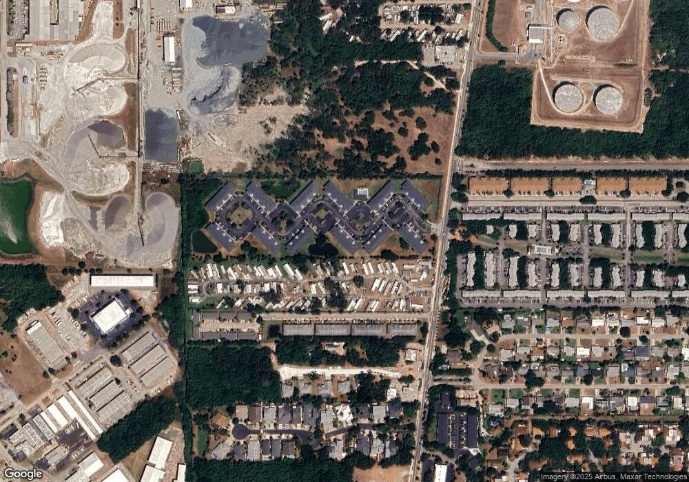
Map
Nearby Homes
- 131 Portside Ave Unit 202
- 117 Anchorage Ave Unit 6
- 8817 N Atlantic Ave Unit 50
- 8817 N Atlantic Ave Unit 62
- 8810 N Atlantic Ave
- 171 Portside Ave Unit 201
- 180 Portside Ave Unit 104
- 117 Harbor Dr
- 240 N Seaport Blvd
- 238 N Seaport Blvd
- 8761 Banyan Way
- 8759 Banyan Way
- 8743 Seagrape Ct
- 615 Seaport Blvd
- 171 Seaport Blvd Unit T34
- 505 Seaport Blvd Unit T190
- 230 Beach Park Ln Unit V80
- 405 Ocean Park Ln
- 446 Beach Park Ln Unit V184
- 306 Beach Park Ln Unit V116
- 131 Portside Ave Unit 3-101
- 131 Portside Ave Unit 3-103
- 131 Portside Ave Unit 3-204
- 131 Portside Ave Unit 3-205
- 131 Portside Ave
- 131 Portside Ave Unit 103
- 131 Portside Ave Unit 205
- 131 Portside Ave Unit 101
- 131 Portside Ave Unit 203
- 131 Portside Ave Unit 102
- 131 Portside Ave Unit 105
- 131 Portside Ave Unit 201
- 131 Portside Ave Unit 104
- 140 Portside Ave
- 140 Portside Ave
- 140 Portside Ave Unit 201
- 140 Portside Ave Unit 103
- 140 Portside Ave Unit 105
- 140 Portside Ave Unit 101
- 140 Portside Ave Unit 104