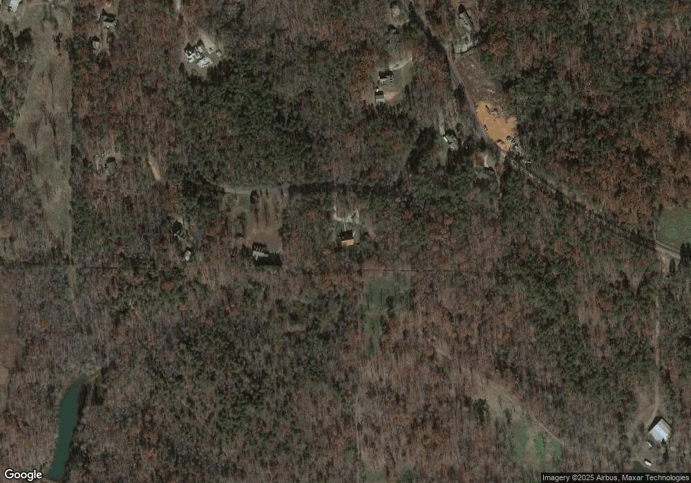
131 Robert Howser Dr Dawsonville, GA 30534
Dawson County NeighborhoodEstimated Value: $505,000 - $650,000
4
Beds
3
Baths
2,194
Sq Ft
$273/Sq Ft
Est. Value
About This Home
This home is located at 131 Robert Howser Dr, Dawsonville, GA 30534 and is currently estimated at $598,114, approximately $272 per square foot. 131 Robert Howser Dr is a home located in Dawson County with nearby schools including Robinson Elementary School, Dawson County Junior High School, and Dawson County Middle School.
Ownership History
Date
Name
Owned For
Owner Type
Purchase Details
Closed on
Aug 14, 2006
Sold by
Tyger Carol
Bought by
Kirchner Thomas
Current Estimated Value
Purchase Details
Closed on
Apr 8, 1999
Sold by
Stephenson Larry E
Bought by
Stephenson Larry E
Purchase Details
Closed on
Apr 25, 1997
Bought by
Stephenson Larry E
Create a Home Valuation Report for This Property
The Home Valuation Report is an in-depth analysis detailing your home's value as well as a comparison with similar homes in the area
Home Values in the Area
Average Home Value in this Area
Purchase History
| Date | Buyer | Sale Price | Title Company |
|---|---|---|---|
| Kirchner Thomas | $92,500 | -- | |
| Stephenson Larry E | -- | -- | |
| Stephenson Larry E | $87,500 | -- |
Source: Public Records
Tax History Compared to Growth
Tax History
| Year | Tax Paid | Tax Assessment Tax Assessment Total Assessment is a certain percentage of the fair market value that is determined by local assessors to be the total taxable value of land and additions on the property. | Land | Improvement |
|---|---|---|---|---|
| 2024 | $2,083 | $233,308 | $64,480 | $168,828 |
| 2023 | $2,078 | $217,308 | $49,120 | $168,188 |
| 2022 | $1,265 | $164,572 | $34,160 | $130,412 |
| 2021 | $968 | $148,292 | $34,160 | $114,132 |
| 2020 | $986 | $147,332 | $36,360 | $110,972 |
| 2019 | $787 | $138,412 | $36,360 | $102,052 |
| 2018 | $790 | $138,412 | $36,360 | $102,052 |
| 2017 | $496 | $124,020 | $27,852 | $96,168 |
| 2016 | $455 | $122,032 | $27,852 | $94,180 |
| 2015 | $432 | $119,524 | $25,344 | $94,180 |
| 2014 | $629 | $101,791 | $25,344 | $76,447 |
| 2013 | -- | $88,476 | $25,344 | $63,132 |
Source: Public Records
Map
Nearby Homes
- 166 Elliott Family Pkwy
- 7975 Fireside Farm Dr
- 123 Stillwater Ln
- 1606 Shoal Creek Rd
- 702 Joe Lane Cox Rd Unit 201
- 702 Joe Lane Cox Rd Unit 220
- 702 Joe Lane Cox Rd Unit 102
- 700 Joe Lane Cox Rd Unit 221
- 159 Trace Bluff
- 7165 Ellorie Estates Unit LOT 58
- Lot 2 Yancy Dr
- 6 Crawford Place
- 9 Crawford Crest
- 8 Crawford Crest
- 7 Crawford Crest
- 151 Trace Bluff
- 139 Trace Bluff
- 129 Trace Bluff
- 195 Robert Howser Dr
- 2321 Howser Mill Rd
- 2389 Howser Mill Rd
- 271 Robert Howser Dr
- 2425 Howser Mill Rd
- 2287 Howser Mill Rd
- 2599 Howser Mill Rd
- 288 Robert Howser Dr
- 2388 Howser Mill Rd
- 2486 Howser Mill Rd
- 0 Highway 108 Burnt Mountain Unit 3262340
- 32 Northeast
- 0 Nordson Overlook Ga 400 Unit LOT 4 2504228
- 0 Off of Clear Creek Rd Unit 153AC 7512286
- 0 Off of Clear Creek Rd Unit 153AC 7573733
- LOT147 Morgan
- 2603 Howser Mill Rd
- 2646 Howser Mill Rd
- 1829 Howser Mill Rd
- 1829 Howser Mill Rd
