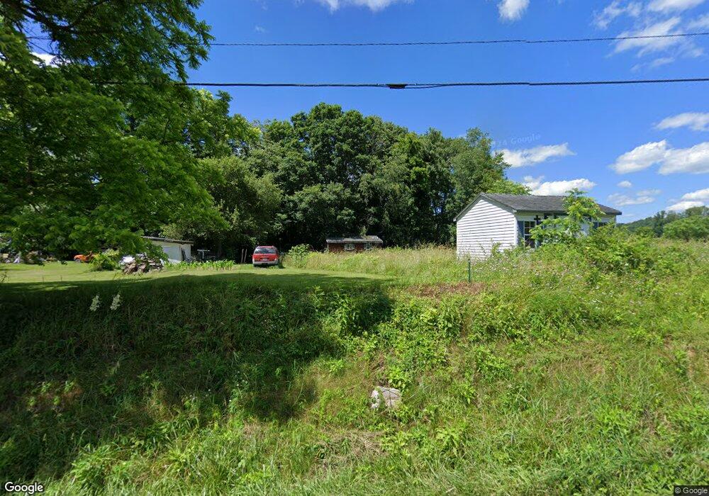
131 S Fork Rd Marion, VA 24354
Estimated Value: $72,000 - $106,000
1
Bed
1
Bath
384
Sq Ft
$239/Sq Ft
Est. Value
About This Home
This home is located at 131 S Fork Rd, Marion, VA 24354 and is currently estimated at $91,590, approximately $238 per square foot. 131 S Fork Rd is a home located in Smyth County with nearby schools including Oak Point Elementary School, Marion Middle School, and Marion Senior High School.
Ownership History
Date
Name
Owned For
Owner Type
Purchase Details
Closed on
Aug 19, 2010
Sold by
Redman William C
Bought by
Vliet Rhonda Rae
Current Estimated Value
Purchase Details
Closed on
Dec 11, 2008
Sold by
Lambert Robert L and Stamper Vickie K
Bought by
Redman William C
Purchase Details
Closed on
Jun 11, 2008
Sold by
Hutton Eva L
Bought by
Lambert Robert L
Create a Home Valuation Report for This Property
The Home Valuation Report is an in-depth analysis detailing your home's value as well as a comparison with similar homes in the area
Home Values in the Area
Average Home Value in this Area
Purchase History
| Date | Buyer | Sale Price | Title Company |
|---|---|---|---|
| Vliet Rhonda Rae | -- | -- | |
| Redman William C | $17,500 | -- | |
| Lambert Robert L | $16,000 | -- |
Source: Public Records
Tax History
| Year | Tax Paid | Tax Assessment Tax Assessment Total Assessment is a certain percentage of the fair market value that is determined by local assessors to be the total taxable value of land and additions on the property. | Land | Improvement |
|---|---|---|---|---|
| 2025 | $296 | $50,100 | $15,000 | $35,100 |
| 2024 | $296 | $50,100 | $15,000 | $35,100 |
| 2023 | $257 | $34,700 | $12,500 | $22,200 |
| 2022 | $257 | $34,700 | $12,500 | $22,200 |
| 2021 | $257 | $34,700 | $12,500 | $22,200 |
| 2020 | $257 | $34,700 | $12,500 | $22,200 |
| 2019 | $244 | $33,000 | $12,500 | $20,500 |
| 2018 | $244 | $33,000 | $12,500 | $20,500 |
| 2017 | $244 | $33,000 | $12,500 | $20,500 |
| 2016 | $244 | $33,000 | $12,500 | $20,500 |
| 2015 | $244 | $0 | $0 | $0 |
| 2014 | $243 | $0 | $0 | $0 |
Source: Public Records
Map
Nearby Homes
- 711 Thomas Bridge Rd
- 721 Thomas Bridge Rd
- 450 Stoney Battery Rd
- 556 Stoney Battery Rd
- 564 Stoney Battery Rd
- 265 Flatwoods Rd
- 450 Adwolfe Rd
- 625 Belle Hollow Rd
- tbd Chestnut Ridge Rd
- 470 Riverside Rd
- TBD Granite Ln
- 1219 Chestnut Ridge Rd
- 122 Adwolfe Rd
- TBD Ridgefield Dr
- 787 Wet Springs Rd
- 447 Old Airport Rd
- 158 North Dr
- 454 Old Airport Rd
- 182 Saint Johns Way
- 1843 Saint Clairs Creek Rd
- 135 S Fork Rd
- 109 S Fork Rd
- 2140 Red Stone Rd
- 163 S Fork Rd
- 122 S Fork Rd
- 104 Old Mill Rd
- 2107 Red Stone Rd Unit X
- 2107 Red Stone Rd
- 154 S Fork Rd
- 117 Old Mill Rd
- 175 S Fork Rd
- 187 S Fork Rd
- 2173 Red Stone Rd
- 152 Old Mill Rd
- 159 Old Mill Rd
- 162 Old Mill Rd
- 107 Old Mill Rd
- 569 Beasley Ln
- 179 Old Mill Rd
- 1934 Red Stone Rd
Your Personal Tour Guide
Ask me questions while you tour the home.