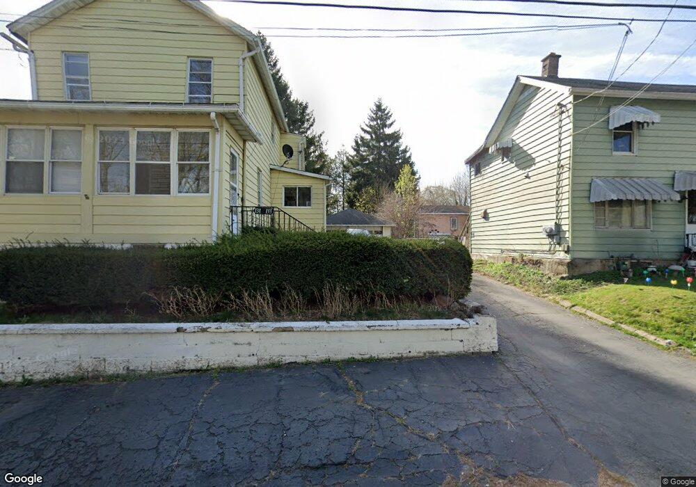
131 S Sherman Ave Scranton, PA 18504
Hyde Park NeighborhoodEstimated Value: $70,885 - $151,000
--
Bed
--
Bath
4,600
Sq Ft
$22/Sq Ft
Est. Value
About This Home
This home is located at 131 S Sherman Ave, Scranton, PA 18504 and is currently estimated at $102,971, approximately $22 per square foot. 131 S Sherman Ave is a home located in Lackawanna County with nearby schools including Longan Elementary School, Adams Elementary School, and Isaac Tripp Elementary School.
Ownership History
Date
Name
Owned For
Owner Type
Purchase Details
Closed on
Oct 6, 2021
Sold by
Malley Matthew J O and Malley Gail A
Bought by
Dowling Stephanie S
Current Estimated Value
Home Financials for this Owner
Home Financials are based on the most recent Mortgage that was taken out on this home.
Original Mortgage
$55,290
Outstanding Balance
$50,419
Interest Rate
2.8%
Mortgage Type
New Conventional
Estimated Equity
$52,552
Purchase Details
Closed on
Feb 6, 1995
Bought by
Omalley Matthew J and Omalley Gail A
Create a Home Valuation Report for This Property
The Home Valuation Report is an in-depth analysis detailing your home's value as well as a comparison with similar homes in the area
Home Values in the Area
Average Home Value in this Area
Purchase History
| Date | Buyer | Sale Price | Title Company |
|---|---|---|---|
| Dowling Stephanie S | $57,000 | United One Resources Title | |
| Omalley Matthew J | $50,000 | -- |
Source: Public Records
Mortgage History
| Date | Status | Borrower | Loan Amount |
|---|---|---|---|
| Open | Dowling Stephanie S | $55,290 |
Source: Public Records
Tax History Compared to Growth
Tax History
| Year | Tax Paid | Tax Assessment Tax Assessment Total Assessment is a certain percentage of the fair market value that is determined by local assessors to be the total taxable value of land and additions on the property. | Land | Improvement |
|---|---|---|---|---|
| 2025 | $1,513 | $4,500 | $1,050 | $3,450 |
| 2024 | $1,387 | $4,500 | $1,050 | $3,450 |
| 2023 | $1,387 | $4,500 | $1,050 | $3,450 |
| 2022 | $1,357 | $4,500 | $1,050 | $3,450 |
| 2021 | $1,357 | $4,500 | $1,050 | $3,450 |
| 2020 | $1,333 | $4,500 | $1,050 | $3,450 |
| 2019 | $1,255 | $4,500 | $1,050 | $3,450 |
| 2018 | $1,255 | $4,500 | $1,050 | $3,450 |
| 2017 | $1,234 | $4,500 | $1,050 | $3,450 |
| 2016 | $419 | $4,500 | $1,050 | $3,450 |
| 2015 | $938 | $4,500 | $1,050 | $3,450 |
| 2014 | -- | $4,500 | $1,050 | $3,450 |
Source: Public Records
Map
Nearby Homes
- 2133 35 Jackson St
- 142 S Van Buren Ave
- 133 S Van Buren Ave
- 138-140 S Everett Ave
- 1919 Price St
- 149 S Everett Ave
- 138 S Keyser Ave
- 1827 Price St
- 1809 Washburn St
- 2613 Jackson St
- 1819 Luzerne St
- 415 18th Ave
- 310 Dale Ave
- 444 N Cameron Ave
- 1717 Lafayette St
- 405 17th Ave
- 217 219 221 N Garfield Ave
- 305 S Garfield Ave
- 328 N Fillmore Ave
- 318 15th Ave
- 129 S Sherman Ave
- 127 S Sherman Ave
- 137 S Sherman Ave
- 137 S Sherman Ave
- 141 S Sherman Ave
- 140 S Sherman Ave
- 145 S Sherman Ave
- 146 S Sherman Ave
- 147 S Sherman Ave
- 115 S Sherman Ave Unit L19I
- 2122 Washburn St
- 0 Washburn St Unit GSB041135
- 0 Washburn St
- 2120 Washburn St
- 105 S Sherman Ave
- 140 S Grant Ave
- 2200 Washburn St
- 136 S Grant Ave
- 144 S Grant Ave
- 2131 Jackson St