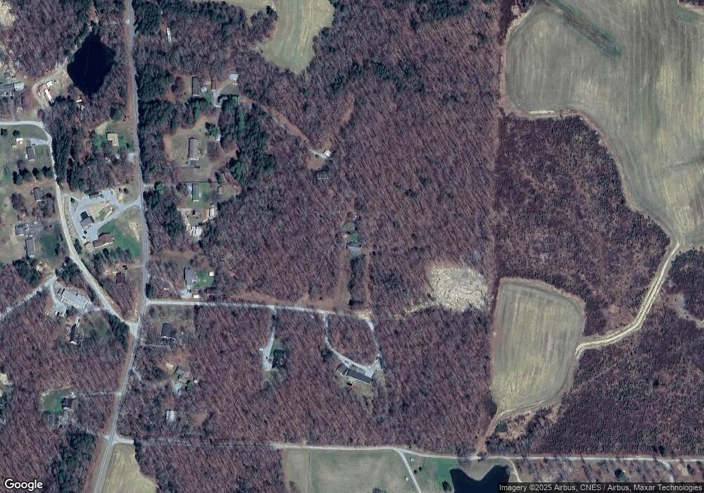
131 Sandstone Rd Unit 1 Roxboro, NC 27574
Estimated Value: $220,000 - $328,729
3
Beds
2
Baths
1,680
Sq Ft
$166/Sq Ft
Est. Value
About This Home
This home is located at 131 Sandstone Rd Unit 1, Roxboro, NC 27574 and is currently estimated at $278,682, approximately $165 per square foot. 131 Sandstone Rd Unit 1 is a home located in Person County with nearby schools including Person High School and Sneed Academy.
Ownership History
Date
Name
Owned For
Owner Type
Purchase Details
Closed on
Nov 6, 2007
Sold by
Cit Group-Consumer Finance Inc
Bought by
Yarbrough Gregory L and Yarbrough Christy T
Current Estimated Value
Home Financials for this Owner
Home Financials are based on the most recent Mortgage that was taken out on this home.
Original Mortgage
$95,000
Outstanding Balance
$59,734
Interest Rate
6.26%
Mortgage Type
New Conventional
Estimated Equity
$218,948
Purchase Details
Closed on
Mar 8, 2007
Sold by
Cooper Rita H
Bought by
Cit Group Consumer Finance Inc
Create a Home Valuation Report for This Property
The Home Valuation Report is an in-depth analysis detailing your home's value as well as a comparison with similar homes in the area
Home Values in the Area
Average Home Value in this Area
Purchase History
| Date | Buyer | Sale Price | Title Company |
|---|---|---|---|
| Yarbrough Gregory L | $95,000 | -- | |
| Cit Group Consumer Finance Inc | $114,800 | -- |
Source: Public Records
Mortgage History
| Date | Status | Borrower | Loan Amount |
|---|---|---|---|
| Open | Yarbrough Gregory L | $95,000 |
Source: Public Records
Tax History Compared to Growth
Tax History
| Year | Tax Paid | Tax Assessment Tax Assessment Total Assessment is a certain percentage of the fair market value that is determined by local assessors to be the total taxable value of land and additions on the property. | Land | Improvement |
|---|---|---|---|---|
| 2025 | $1,776 | $263,866 | $0 | $0 |
| 2024 | $1,189 | $152,878 | $0 | $0 |
| 2023 | $1,189 | $152,878 | $0 | $0 |
| 2022 | $1,185 | $152,878 | $0 | $0 |
| 2021 | $1,151 | $152,878 | $0 | $0 |
| 2020 | $941 | $124,788 | $0 | $0 |
| 2019 | $953 | $124,788 | $0 | $0 |
| 2018 | $894 | $124,788 | $0 | $0 |
| 2017 | $882 | $124,788 | $0 | $0 |
| 2016 | $882 | $124,788 | $0 | $0 |
| 2015 | $882 | $124,788 | $0 | $0 |
| 2014 | $882 | $124,788 | $0 | $0 |
Source: Public Records
Map
Nearby Homes
- 140 Smith Hill Ln
- 204 Kiser Hicks Rd
- 0 Lewis Winstead Loop Rd
- 70 Hannah Ln
- 7710 Leasburg Rd
- 287 Oliver Loop Rd
- 3 Rolling Creek Dr
- Lot 1 Hesters Store Rd
- Lot 1 Hesters Store Rd
- 131 Rosewood Dr
- 1174 Robertson Rd
- 41 Lakewood Dr
- 814 Frank St
- 2 Semora Rd
- 167.10 Leasburg Rd
- 305 Lochridge Dr
- 1739 Hurdle Mills Rd
- 421 S Morgan St
- 156 Southern Middle School Rd
- 102 Scotland Place
- 131 Sandstone Rd
- Lot 7 Sandstone Rd
- 154 Sandstone Rd
- 114 Sandstone Rd
- 821 Blalock Dairy Rd
- 785 Blalock Dairy Rd
- 737 Blalock Dairy Rd
- 871 Blalock Dairy Rd
- 895 Blalock Dairy Rd
- Lot Blalock Dairy Rd
- 0 Blalock Dairy Rd Unit 1717995
- 16.67ac Blalock Dairy Rd
- Tract Two Blalock Dairy Rd
- 0 Blalock Dairy Rd Unit 568982
- 0 Blalock Dairy Rd Unit TR1752624
- Lot Blalock Dairy Rd Unit 5 & 6
- 16.67ac Blalock Dairy Rd Unit B
- Tract Two Blalock Dairy Rd Unit Two
- 0 Blalock Dairy Rd Unit 5 & 6 1717995
- 0 Blalock Dairy Rd
