131 Serenity Hills Trail Advance, NC 27006
Estimated Value: $772,000 - $1,041,000
4
Beds
6
Baths
5,176
Sq Ft
$170/Sq Ft
Est. Value
About This Home
This home is located at 131 Serenity Hills Trail, Advance, NC 27006 and is currently estimated at $880,667, approximately $170 per square foot. 131 Serenity Hills Trail is a home located in Davie County with nearby schools including Pinebrook Elementary School, North Davie Middle School, and Davie County High School.
Ownership History
Date
Name
Owned For
Owner Type
Purchase Details
Closed on
Dec 19, 2012
Sold by
Bank Of North Carolina
Bought by
Fleming Shawn Howard and Fleming Jill Patton
Current Estimated Value
Home Financials for this Owner
Home Financials are based on the most recent Mortgage that was taken out on this home.
Original Mortgage
$580,000
Interest Rate
3.43%
Mortgage Type
Future Advance Clause Open End Mortgage
Purchase Details
Closed on
Aug 21, 2012
Sold by
Whitney Gordon K and Whitney Donna D
Bought by
Bank Of North Carolina
Purchase Details
Closed on
Dec 1, 2003
Purchase Details
Closed on
Apr 1, 1999
Create a Home Valuation Report for This Property
The Home Valuation Report is an in-depth analysis detailing your home's value as well as a comparison with similar homes in the area
Home Values in the Area
Average Home Value in this Area
Purchase History
| Date | Buyer | Sale Price | Title Company |
|---|---|---|---|
| Fleming Shawn Howard | $725,000 | None Available | |
| Bank Of North Carolina | $685,000 | None Available | |
| -- | $78,000 | -- | |
| -- | $65,000 | -- |
Source: Public Records
Mortgage History
| Date | Status | Borrower | Loan Amount |
|---|---|---|---|
| Closed | Fleming Shawn Howard | $580,000 |
Source: Public Records
Tax History Compared to Growth
Tax History
| Year | Tax Paid | Tax Assessment Tax Assessment Total Assessment is a certain percentage of the fair market value that is determined by local assessors to be the total taxable value of land and additions on the property. | Land | Improvement |
|---|---|---|---|---|
| 2025 | $5,718 | $830,410 | $111,860 | $718,550 |
| 2024 | $5,745 | $743,190 | $105,960 | $637,230 |
| 2023 | $5,745 | $743,190 | $105,960 | $637,230 |
| 2022 | $5,745 | $743,190 | $105,960 | $637,230 |
| 2021 | $5,745 | $743,190 | $105,960 | $637,230 |
| 2020 | $4,925 | $633,090 | $105,960 | $527,130 |
| 2019 | $4,925 | $633,090 | $105,960 | $527,130 |
| 2018 | $4,925 | $633,090 | $105,960 | $527,130 |
| 2017 | $4,862 | $633,090 | $0 | $0 |
| 2016 | $4,692 | $610,970 | $0 | $0 |
| 2015 | $4,692 | $610,970 | $0 | $0 |
| 2014 | $4,032 | $610,970 | $0 | $0 |
| 2013 | -- | $610,970 | $0 | $0 |
Source: Public Records
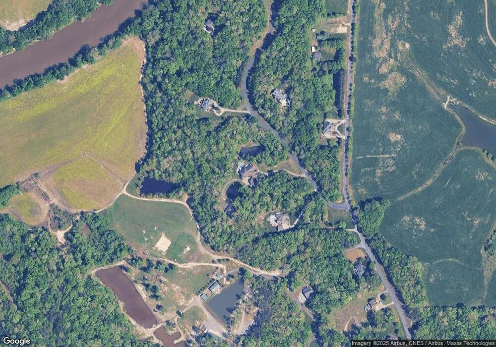
Map
Nearby Homes
- 4029 Estate Dr
- 8350 Holler Farm Rd
- 4011 Estate Dr
- Roller Mill II Plan at Adams Estates
- Roller Mill Plan at Adams Estates
- Oak Crest Plan at Adams Estates
- Heritage Bridge Plan at Adams Estates
- Birch Haven Courtyard Plan at Adams Estates
- 2350 Williams Rd
- 0 Mcknight Rd
- 1762 Canopy Trail
- 272 Morning Star Dr
- 270 Morning Star Dr
- 1953 Woodstock Rd
- 138 Starhaven Ct
- 137 Starhaven Ct
- 133 Starhaven Ct
- 120 Starhaven Ct
- 119 Starhaven Ct
- 266 Morning Star Dr
- 233 Sandpit Rd
- 171 Serenity Hills Trail
- 164 Serenity Hills Trail
- 211 Sandpit Rd
- 253 Sandpit Rd
- 187 Sandpit Rd
- 287 Sandpit Rd
- 187 Serenity Hills Trail
- 173 Sandpit Rd
- 129 Brookside Ln
- 119 River Ridge Trail
- 157 Sandpit Rd
- 278 Jesse King Rd
- 131 Sand Pit Rd
- 131 Sandpit Rd
- 264 Jesse King Rd
- 175 Laurelbrook Ln
- 145 River Ridge Trail
- 349 Griffith Rd
- 342 Peaceful Valley Rd