131 Shelter Cove Way Unit 108 Carrollton, VA 23314
Estimated Value: $600,000 - $682,523
4
Beds
4
Baths
3,028
Sq Ft
$218/Sq Ft
Est. Value
About This Home
This home is located at 131 Shelter Cove Way Unit 108, Carrollton, VA 23314 and is currently estimated at $658,631, approximately $217 per square foot. 131 Shelter Cove Way Unit 108 is a home located in Isle of Wight County with nearby schools including Carrollton Elementary School, Smithfield Middle School, and Smithfield High School.
Ownership History
Date
Name
Owned For
Owner Type
Purchase Details
Closed on
Jul 31, 2018
Sold by
Chapman Joseph H and Chapman Debora E
Bought by
Mayes Mark E
Current Estimated Value
Home Financials for this Owner
Home Financials are based on the most recent Mortgage that was taken out on this home.
Original Mortgage
$433,994
Outstanding Balance
$382,873
Interest Rate
5.25%
Mortgage Type
FHA
Estimated Equity
$275,758
Purchase Details
Closed on
Sep 9, 2009
Sold by
Rosser David C
Purchase Details
Closed on
Aug 14, 2006
Create a Home Valuation Report for This Property
The Home Valuation Report is an in-depth analysis detailing your home's value as well as a comparison with similar homes in the area
Home Values in the Area
Average Home Value in this Area
Purchase History
| Date | Buyer | Sale Price | Title Company |
|---|---|---|---|
| Mayes Mark E | $442,000 | -- | |
| -- | $78,000 | -- | |
| -- | $87,400 | -- |
Source: Public Records
Mortgage History
| Date | Status | Borrower | Loan Amount |
|---|---|---|---|
| Open | Mayes Mark E | $433,994 |
Source: Public Records
Tax History Compared to Growth
Tax History
| Year | Tax Paid | Tax Assessment Tax Assessment Total Assessment is a certain percentage of the fair market value that is determined by local assessors to be the total taxable value of land and additions on the property. | Land | Improvement |
|---|---|---|---|---|
| 2025 | $4,609 | $594,700 | $90,000 | $504,700 |
| 2024 | $4,341 | $594,700 | $90,000 | $504,700 |
| 2023 | $4,276 | $594,700 | $90,000 | $504,700 |
| 2022 | $3,557 | $412,100 | $75,000 | $337,100 |
| 2021 | $3,557 | $412,100 | $75,000 | $337,100 |
| 2020 | $3,557 | $412,100 | $75,000 | $337,100 |
| 2019 | $3,557 | $412,100 | $75,000 | $337,100 |
| 2018 | $3,750 | $434,800 | $75,000 | $359,800 |
| 2016 | $3,768 | $434,800 | $75,000 | $359,800 |
| 2015 | $3,440 | $434,800 | $75,000 | $359,800 |
| 2014 | $3,440 | $396,200 | $75,000 | $321,200 |
| 2013 | -- | $396,200 | $75,000 | $321,200 |
Source: Public Records
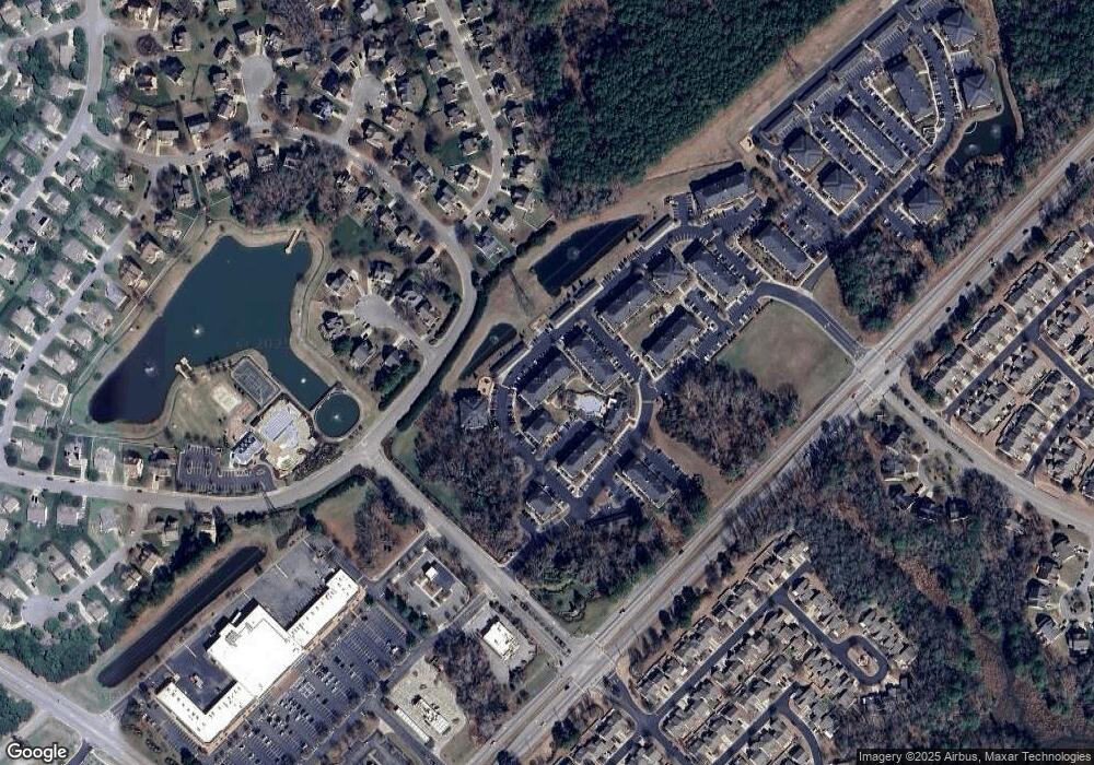
Map
Nearby Homes
- 13309 Regent Park Walk
- 13461 Prince Andrew Trail
- 13435 Prince Andrew Trail
- 13436 Prince Andrew Trail
- 13447 Bentley Heath Way
- 13032 Lighthouse Ln
- 13418 Bentley Heath Way Unit 97
- 13434 Waters Edge Ct
- 22346 Tradewinds Dr
- 3.42AC Smiths Neck Rd
- 23088 Preserve Place
- 911 Overlook Terrace
- 1013 Point Way
- Caroline Plan at South Harbor - Towns 55 Plus
- 13554 S Village Way
- 12464 Grand Square Ln
- 1509 Broad Water Arch
- 1505 Broad Water Arch
- Palladio 2 Story Plan at South Harbor - Single-Family 55 Plus
- Bramante 2 Story Plan at South Harbor - Single-Family 55 Plus
- 230 Marsh Landing Dr Unit 203
- 161 Marsh Landing Dr
- 141 Shelter Cove Way Unit 308
- 22317 Eagle Lake Ct
- 13230 Eagle Lake Ct
- 13152 Lighthouse Ln
- 13231 Eagle Lake Ct
- 23061 Harbor Towne Dr
- 13222 Eagle Lake Ct
- 13144 Lighthouse Ln
- 181 Shelter Cove Way Unit 305
- 13136 Lighthouse Ln
- 13221 Eagle Lake Ct
- 13214 Eagle Lake Ct
- 23075 Harbor Towne Dr
- Lot99 Eagle Harbor
- 13151 Lighthouse Ln
- 13128 Lighthouse Ln
- 13213 Eagle Lake Ct
- 13135 Lighthouse Ln