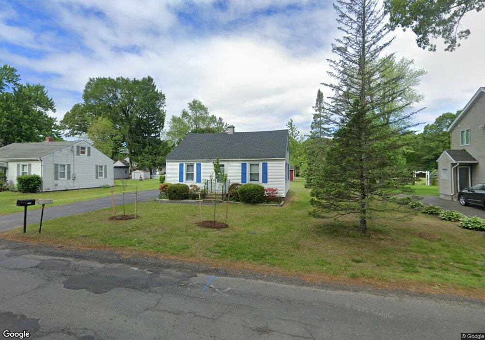
131 Springdale Rd Westfield, MA 01085
Estimated Value: $303,000 - $345,000
4
Beds
2
Baths
1,170
Sq Ft
$275/Sq Ft
Est. Value
About This Home
This home is located at 131 Springdale Rd, Westfield, MA 01085 and is currently estimated at $322,188, approximately $275 per square foot. 131 Springdale Rd is a home located in Hampden County with nearby schools including Westfield High School and Saint Mary High School.
Ownership History
Date
Name
Owned For
Owner Type
Purchase Details
Closed on
Dec 13, 2024
Sold by
Giles William E
Bought by
Duffy Thomas and Duffy Allison L
Current Estimated Value
Purchase Details
Closed on
Jul 3, 1967
Bought by
Giles William E and Giles Elizabeth L
Create a Home Valuation Report for This Property
The Home Valuation Report is an in-depth analysis detailing your home's value as well as a comparison with similar homes in the area
Home Values in the Area
Average Home Value in this Area
Purchase History
| Date | Buyer | Sale Price | Title Company |
|---|---|---|---|
| Duffy Thomas | -- | None Available | |
| Duffy Thomas | -- | None Available | |
| Giles William E | -- | -- |
Source: Public Records
Mortgage History
| Date | Status | Borrower | Loan Amount |
|---|---|---|---|
| Previous Owner | Giles William E | $30,000 |
Source: Public Records
Tax History Compared to Growth
Tax History
| Year | Tax Paid | Tax Assessment Tax Assessment Total Assessment is a certain percentage of the fair market value that is determined by local assessors to be the total taxable value of land and additions on the property. | Land | Improvement |
|---|---|---|---|---|
| 2025 | $3,844 | $253,200 | $97,400 | $155,800 |
| 2024 | $3,833 | $240,000 | $88,500 | $151,500 |
| 2023 | $3,569 | $217,500 | $84,300 | $133,200 |
| 2022 | $3,569 | $193,000 | $75,200 | $117,800 |
| 2021 | $3,457 | $183,100 | $71,000 | $112,100 |
| 2020 | $3,363 | $174,700 | $71,000 | $103,700 |
| 2019 | $3,289 | $167,200 | $67,700 | $99,500 |
| 2018 | $3,237 | $167,200 | $67,700 | $99,500 |
| 2017 | $3,181 | $163,800 | $68,600 | $95,200 |
| 2016 | $3,184 | $163,800 | $68,600 | $95,200 |
| 2015 | $3,037 | $163,800 | $68,600 | $95,200 |
| 2014 | $2,269 | $163,800 | $68,600 | $95,200 |
Source: Public Records
Map
Nearby Homes
- 14 Lynnwood Dr
- 19 Arch Rd
- 26 Deepwoods Dr
- 351 N Elm St
- 0 Holyoke Rd
- 99 Woodmont St
- 72-74 Notre Dame St
- 111 Union St Unit 6
- 119 Union St Unit 4
- 3 Norton St
- 53 Bristol St
- 10 Ethan Ave
- 9 Crown St
- 13 Furrow St
- Lot 3 Montgomery
- 194 Lockhouse Rd
- 120 Woodcliff Dr
- 48 Murray Ave
- 40 Prospect St Unit 2F
- 16 Glen Ridge Dr
- 135 Springdale Rd
- 127 Springdale Rd
- 119 Springdale Rd
- 119 Springdale Rd
- 198 Holyoke Rd
- 194 Holyoke Rd
- 192 Holyoke Rd
- 206 Holyoke Rd
- 128 Springdale Rd
- 120 Springdale Rd
- 174 Holyoke Rd
- 208 Holyoke Rd
- 18459 Springdale Rd
- 112 Springdale Rd
- 172 Holyoke Rd
- 193 Holyoke Rd
- 234 Holyoke Rd
- 207 Holyoke Rd
- 187 Holyoke Rd
- 104 Springdale Rd