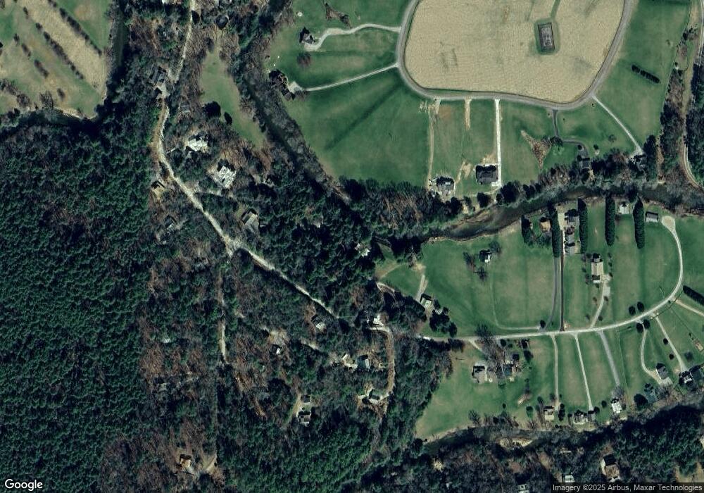
131 Spruce Dr Suches, GA 30572
Estimated Value: $727,000 - $841,000
--
Bed
3
Baths
2,520
Sq Ft
$311/Sq Ft
Est. Value
About This Home
This home is located at 131 Spruce Dr, Suches, GA 30572 and is currently estimated at $784,667, approximately $311 per square foot. 131 Spruce Dr is a home located in Fannin County with nearby schools including Fannin County High School.
Ownership History
Date
Name
Owned For
Owner Type
Purchase Details
Closed on
Jul 27, 2023
Sold by
Cario Jeffrey P
Bought by
Jeffrey P Cario Trust and Cario Jeffrey P Tr
Current Estimated Value
Purchase Details
Closed on
Oct 12, 2017
Sold by
Cario Jeffery Peter
Bought by
Cario Jeffery P Tr
Purchase Details
Closed on
May 30, 2003
Sold by
Ronald D Coleman Enterprises I
Bought by
Cario Jeffery and Cario Lisa H
Purchase Details
Closed on
Feb 15, 2002
Sold by
Harrington David
Bought by
Ronald D Coleman Enterprises Inc
Purchase Details
Closed on
Jul 31, 1995
Bought by
Harrington David
Create a Home Valuation Report for This Property
The Home Valuation Report is an in-depth analysis detailing your home's value as well as a comparison with similar homes in the area
Home Values in the Area
Average Home Value in this Area
Purchase History
| Date | Buyer | Sale Price | Title Company |
|---|---|---|---|
| Jeffrey P Cario Trust | -- | -- | |
| Cario Jeffery P Tr | -- | -- | |
| Cario Jeffery P Tr | -- | -- | |
| Cario Jeffery | $343,000 | -- | |
| Ronald D Coleman Enterprises Inc | $72,000 | -- | |
| Harrington David | $40,000 | -- |
Source: Public Records
Tax History Compared to Growth
Tax History
| Year | Tax Paid | Tax Assessment Tax Assessment Total Assessment is a certain percentage of the fair market value that is determined by local assessors to be the total taxable value of land and additions on the property. | Land | Improvement |
|---|---|---|---|---|
| 2024 | $2,272 | $247,923 | $32,493 | $215,430 |
| 2023 | $2,029 | $199,038 | $28,494 | $170,544 |
| 2022 | $2,051 | $201,153 | $28,494 | $172,659 |
| 2021 | $1,458 | $103,981 | $27,194 | $76,787 |
| 2020 | $1,505 | $105,596 | $27,194 | $78,402 |
| 2019 | $1,534 | $105,596 | $27,194 | $78,402 |
| 2018 | $1,654 | $107,346 | $28,944 | $78,402 |
| 2017 | $1,927 | $108,923 | $28,744 | $80,179 |
| 2016 | $1,641 | $96,642 | $19,746 | $76,896 |
| 2015 | $1,730 | $97,506 | $19,746 | $77,760 |
| 2014 | $2,327 | $131,550 | $37,638 | $93,912 |
| 2013 | -- | $110,394 | $37,637 | $72,756 |
Source: Public Records
Map
Nearby Homes
- 312 White Pine Trail
- Lot 61 White Pine Trail
- 33 Spruce Dr
- 487 White Pine Trail
- Lt 56,57 Hemlock Dr
- 133 Hemlock Dr
- Lot 22 Woodeye Cir
- 130 Rivers End Trail
- 67 Big Tree Rd
- 167 Halls Hidden Cove
- 24444 Morganton Hwy
- 24376 Morganton Hwy
- 0 Coopers Creek Rd Unit 10360775
- 160 Mountain Field Dr
- 0 Old Rock Creek Rd Unit 7619593
- 0 Old Rock Creek Rd Unit 10569014
- 47 Downy Rd
- 992 Coopers Creek Rd
- 307 Pigeon Creek Rd
- 32 Grice Woods Rd
- 105 Spruce Dr
- 105 Spruce Dr Unit 40
- 36 Spruce Dr
- Lot 36 Spruce Dr
- 0 Spruce Dr Unit Lt34 8913100
- Lt34 Spruce Dr
- 0 Spruce Dr Unit Lt 34 8769541
- LT 34 Spruce Dr
- 0 Spruce Dr Unit 8576574
- 0 Spruce Dr
- 25 White Pine Trail
- 0 Hemlock Dr Unit 5999506
- 0 Hemlock Dr Unit 47 8333005
- 0 Hemlock Dr Unit 8077599
- 0 Hemlock Dr Unit 416750
- 0 Hemlock Dr Unit 9007587
- 0 Hemlock Dr Unit 6908791
- 0 Hemlock Dr Unit 6561432
- 81 Poplar Dr
- 5 Poplar Dr
