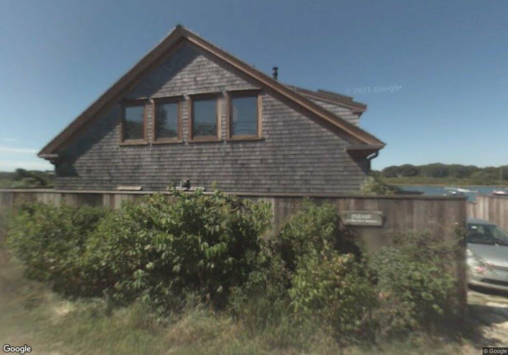
131 State Rd Chilmark, MA 02535
Estimated Value: $1,564,000 - $4,233,000
3
Beds
2
Baths
1,260
Sq Ft
$2,132/Sq Ft
Est. Value
About This Home
This home is located at 131 State Rd, Chilmark, MA 02535 and is currently estimated at $2,686,087, approximately $2,131 per square foot. 131 State Rd is a home located in Dukes County with nearby schools including Martha's Vineyard Regional High School.
Ownership History
Date
Name
Owned For
Owner Type
Purchase Details
Closed on
Mar 29, 2001
Sold by
Town Cv Rt and Mcisaac Betsy C
Bought by
Pier 24 Nt and Hedger Gary P
Current Estimated Value
Purchase Details
Closed on
Jan 26, 2001
Sold by
Kings Cove Tr and Mcpeek Cornelia E
Bought by
Pier 24 Nt and Hedger Gary P
Home Financials for this Owner
Home Financials are based on the most recent Mortgage that was taken out on this home.
Original Mortgage
$100,000
Interest Rate
7.71%
Create a Home Valuation Report for This Property
The Home Valuation Report is an in-depth analysis detailing your home's value as well as a comparison with similar homes in the area
Purchase History
| Date | Buyer | Sale Price | Title Company |
|---|---|---|---|
| Pier 24 Nt | $150,000 | -- | |
| Pier 24 Nt | $1,100,000 | -- | |
| Pier 24 Nt | $150,000 | -- | |
| Pier 24 Nt | $1,100,000 | -- |
Source: Public Records
Mortgage History
| Date | Status | Borrower | Loan Amount |
|---|---|---|---|
| Previous Owner | Pier 24 Nt | $100,000 |
Source: Public Records
Tax History
| Year | Tax Paid | Tax Assessment Tax Assessment Total Assessment is a certain percentage of the fair market value that is determined by local assessors to be the total taxable value of land and additions on the property. | Land | Improvement |
|---|---|---|---|---|
| 2025 | $4,653 | $2,067,800 | $1,194,600 | $873,200 |
| 2024 | $4,238 | $1,999,200 | $1,156,500 | $842,700 |
| 2023 | $4,072 | $1,548,400 | $889,500 | $658,900 |
| 2022 | $4,116 | $1,459,500 | $889,500 | $570,000 |
| 2021 | $4,009 | $1,377,600 | $889,500 | $488,100 |
| 2020 | $4,077 | $1,425,500 | $872,100 | $553,400 |
| 2019 | $4,352 | $1,511,200 | $872,100 | $639,100 |
| 2018 | $4,156 | $1,511,200 | $872,100 | $639,100 |
| 2017 | $4,035 | $1,505,500 | $872,100 | $633,400 |
| 2016 | $4,063 | $1,499,400 | $872,100 | $627,300 |
| 2015 | $3,961 | $1,505,900 | $872,100 | $633,800 |
| 2014 | $3,727 | $1,502,800 | $1,132,900 | $369,900 |
Source: Public Records
Map
Nearby Homes
- 16 Shotnaigher Ln
- 64 Squibnocket Farm Rd
- 18 Spruce Gate Rd
- 7 Clay Pit Ln
- 9 Moshup Trail
- 4 Nomans Watch Rd
- 654 Lighthouse Rd
- 43 N Slope Ln
- 25 Fulling Mill Rd
- 21 & 25 Fulling Mill Rd
- 6 Trails End
- 46 Tiercel Ln
- 300 North Rd
- 00 Oxcart Rd Unit 28
- 308 South Rd
- 382 Lighthouse Rd
- 00 Moshup Trail Unit 6
- 00 Moshup Trail Unit 7-5
- 00 Moshup Trail
- 00 Old Field Rd
Your Personal Tour Guide
Ask me questions while you tour the home.