131 Stewards Ln Eureka, MO 63025
Estimated Value: $910,000 - $1,154,000
3
Beds
3
Baths
2,914
Sq Ft
$361/Sq Ft
Est. Value
About This Home
This home is located at 131 Stewards Ln, Eureka, MO 63025 and is currently estimated at $1,051,131, approximately $360 per square foot. 131 Stewards Ln is a home located in St. Louis County with nearby schools including Blevins Elementary School, Lasalle Springs Middle School, and Eureka Senior High School.
Ownership History
Date
Name
Owned For
Owner Type
Purchase Details
Closed on
Oct 14, 2020
Sold by
Chew James and Chew Carol
Bought by
The Wayne T Sauer Revocable Trust
Current Estimated Value
Home Financials for this Owner
Home Financials are based on the most recent Mortgage that was taken out on this home.
Original Mortgage
$510,400
Outstanding Balance
$453,146
Interest Rate
2.8%
Mortgage Type
New Conventional
Estimated Equity
$597,985
Purchase Details
Closed on
Mar 14, 2019
Sold by
Payne Family Homes Llc
Bought by
Chew James and Chew Carol
Home Financials for this Owner
Home Financials are based on the most recent Mortgage that was taken out on this home.
Original Mortgage
$484,350
Interest Rate
4.4%
Mortgage Type
New Conventional
Create a Home Valuation Report for This Property
The Home Valuation Report is an in-depth analysis detailing your home's value as well as a comparison with similar homes in the area
Home Values in the Area
Average Home Value in this Area
Purchase History
| Date | Buyer | Sale Price | Title Company |
|---|---|---|---|
| The Wayne T Sauer Revocable Trust | $690,000 | Title Partners Agency Llc | |
| Chew James | $663,000 | Arch City Title |
Source: Public Records
Mortgage History
| Date | Status | Borrower | Loan Amount |
|---|---|---|---|
| Open | The Wayne T Sauer Revocable Trust | $510,400 | |
| Previous Owner | Chew James | $484,350 |
Source: Public Records
Tax History
| Year | Tax Paid | Tax Assessment Tax Assessment Total Assessment is a certain percentage of the fair market value that is determined by local assessors to be the total taxable value of land and additions on the property. | Land | Improvement |
|---|---|---|---|---|
| 2025 | $10,386 | $163,890 | $24,450 | $139,440 |
| 2024 | $10,386 | $142,160 | $13,720 | $128,440 |
| 2023 | $10,390 | $142,160 | $13,720 | $128,440 |
| 2022 | $11,893 | $151,720 | $29,340 | $122,380 |
| 2021 | $11,796 | $151,720 | $29,340 | $122,380 |
| 2020 | $9,722 | $119,860 | $28,940 | $90,920 |
| 2019 | $7,904 | $97,130 | $28,940 | $68,190 |
| 2018 | $2,493 | $28,940 | $28,940 | $0 |
| 2017 | $2,398 | $28,940 | $28,940 | $0 |
Source: Public Records
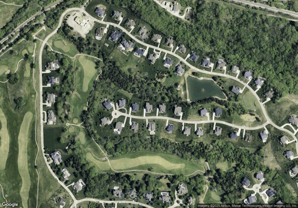
Map
Nearby Homes
- 320 Stonewall Dr
- 316 Barn Side Ln
- 60 the Bluffs Dr Unit 60
- 54 the Bluffs Dr Unit 54
- 15811 Jedberg Rd Unit A
- 15811 Jedberg Ln
- 1513 Wolf Trail Rd
- 0 Unknown Unit MIS26004384
- 1455 Ridge Rd
- 944 Emerald Oaks Ct
- 637 N Virginia Ave
- 125 Towne Square Ct Unit 4E
- 118 Towne Square Ct Unit D4
- 16 Rockwood Forest Glen
- 1115 Ridge Rd
- 800 Holland Rd
- 318 Kevin Jon Ct
- 4606 Hickory Ridge View Ct
- 329 Kevin Jon Ct
- 17114 Elm Trail Dr
- 131 Stewards Ln
- 135 Stuart Ln
- 135 Stewards Ln
- 127 Stewards Ln
- 127 Stewards Ln
- 132 Stewards Ln
- 139 Stewards Ln
- 128 Stewards Ln
- 123 Stewards Ln
- 136 Stewards Ln
- 347 Stonewall Dr
- 124 Stewards Ln
- 343 Stonewall Dr
- 343 Stonewall Dr
- 143 Stewards Ln
- 351 Stonewall Dr
- 339 Stonewall Dr
- 120 Stewards Ln
- 119 Stewards Ln
- 355 Stonewall Dr
Your Personal Tour Guide
Ask me questions while you tour the home.