131 Sub Division Rd Coudersport, PA 16915
Estimated Value: $158,000 - $360,000
--
Bed
--
Bath
1,248
Sq Ft
$234/Sq Ft
Est. Value
About This Home
This home is located at 131 Sub Division Rd, Coudersport, PA 16915 and is currently estimated at $291,470, approximately $233 per square foot. 131 Sub Division Rd is a home located in Potter County with nearby schools including Coudersport Area Elementary School and Coudersport Area Junior/Senior High School.
Ownership History
Date
Name
Owned For
Owner Type
Purchase Details
Closed on
Mar 15, 2024
Sold by
Zavetsky Katherine and Zavetsky Shaun
Bought by
Reese Michael L
Current Estimated Value
Purchase Details
Closed on
Nov 22, 2019
Sold by
Deutsche Bank National Trust Company
Bought by
Zavetsky Katherine
Purchase Details
Closed on
Mar 4, 2019
Sold by
Maccartney James R and Maccartney James
Bought by
Deutsche Bank National Trust Co and Soundview Home Loan Trust
Create a Home Valuation Report for This Property
The Home Valuation Report is an in-depth analysis detailing your home's value as well as a comparison with similar homes in the area
Home Values in the Area
Average Home Value in this Area
Purchase History
| Date | Buyer | Sale Price | Title Company |
|---|---|---|---|
| Reese Michael L | $325,000 | Cornerstone Abstract | |
| Zavetsky Katherine | $39,000 | Orange Coast Lender Services | |
| Deutsche Bank National Trust Co | $1,233 | None Available |
Source: Public Records
Tax History Compared to Growth
Tax History
| Year | Tax Paid | Tax Assessment Tax Assessment Total Assessment is a certain percentage of the fair market value that is determined by local assessors to be the total taxable value of land and additions on the property. | Land | Improvement |
|---|---|---|---|---|
| 2025 | $3,480 | $46,500 | $5,670 | $40,830 |
| 2024 | $3,224 | $46,500 | $5,670 | $40,830 |
| 2023 | $2,491 | $36,990 | $5,670 | $31,320 |
| 2022 | $2,435 | $36,990 | $5,670 | $31,320 |
| 2021 | $2,435 | $36,990 | $5,670 | $31,320 |
| 2020 | $2,435 | $36,990 | $5,670 | $31,320 |
| 2019 | $2,435 | $36,990 | $5,670 | $31,320 |
| 2018 | $2,398 | $36,990 | $5,670 | $31,320 |
| 2017 | -- | $36,990 | $5,670 | $31,320 |
| 2016 | $2,361 | $36,990 | $5,670 | $31,320 |
| 2015 | -- | $36,990 | $5,670 | $31,320 |
| 2012 | -- | $36,990 | $5,670 | $31,320 |
Source: Public Records
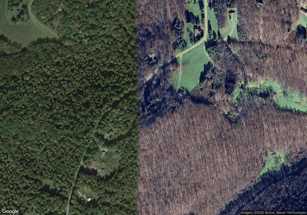
Map
Nearby Homes
- 1060 Brookland Rd
- 00 Brookland Rd
- 1070
- 1060 Brookland Road (Lot C)
- 130 Cherry Springs Rd
- 151 Ice Mine Rd
- 230 Howards Dr
- 860 Cherry Springs Rd
- 00 Buffalo St
- 170 Sunrise Ridge Rd
- Lot 4 Crandall St
- 32 Phoebe Ln
- 15 Troupe Rd
- 478 E 2nd St
- 1574 N Ayers Hill Rd
- 787 Us Highway 6
- 501 Gordnier St
- 414 Dwight St
- 201 E 2nd St
- 214 Ross Glen Rd
- 131 Sub-Division Rd
- 127 Sub Division Rd
- 134 Sub Division Rd
- 134 Sub-Division Rd
- 135 Sub Division Rd
- 135 Sub-Division Rd
- 137 Sub Division Rd
- 130 Sub Division Rd
- 130 Sub-Division Rd
- 139 Sub Division Rd
- 123 Sub Division Rd
- 145 Sub-Division Rd
- 114 Subdivision Rd
- 114 Sub Division Rd
- 114 Sub-Division Rd
- 235 A Frame Rd
- 145 Sub Division Rd
- 121 Sub Division Rd
- 231 A Frame Rd
- 233 A Frame Rd