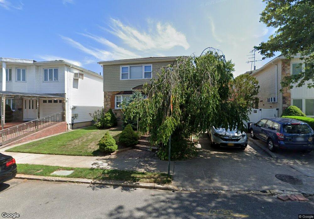
131 Suffolk Ave Unit 2 Staten Island, NY 10314
Manor Heights NeighborhoodEstimated Value: $1,022,000 - $1,164,000
3
Beds
2
Baths
2,632
Sq Ft
$413/Sq Ft
Est. Value
About This Home
This home is located at 131 Suffolk Ave Unit 2, Staten Island, NY 10314 and is currently estimated at $1,085,780, approximately $412 per square foot. 131 Suffolk Ave Unit 2 is a home located in Richmond County with nearby schools including P.S. 29 Bardwell, Intermediate School 27, and Susan E Wagner High School.
Ownership History
Date
Name
Owned For
Owner Type
Purchase Details
Closed on
May 22, 2023
Sold by
Varghese Thomas
Bought by
Mandell Meir and Mandell Necha
Current Estimated Value
Home Financials for this Owner
Home Financials are based on the most recent Mortgage that was taken out on this home.
Original Mortgage
$807,500
Outstanding Balance
$785,047
Interest Rate
6.39%
Mortgage Type
New Conventional
Estimated Equity
$300,733
Create a Home Valuation Report for This Property
The Home Valuation Report is an in-depth analysis detailing your home's value as well as a comparison with similar homes in the area
Home Values in the Area
Average Home Value in this Area
Purchase History
| Date | Buyer | Sale Price | Title Company |
|---|---|---|---|
| Mandell Meir | $950,000 | Amtrust Title |
Source: Public Records
Mortgage History
| Date | Status | Borrower | Loan Amount |
|---|---|---|---|
| Open | Mandell Meir | $807,500 |
Source: Public Records
Tax History Compared to Growth
Tax History
| Year | Tax Paid | Tax Assessment Tax Assessment Total Assessment is a certain percentage of the fair market value that is determined by local assessors to be the total taxable value of land and additions on the property. | Land | Improvement |
|---|---|---|---|---|
| 2025 | $9,755 | $62,700 | $10,661 | $52,039 |
| 2024 | $9,755 | $62,580 | $10,338 | $52,242 |
| 2023 | $9,297 | $47,177 | $10,786 | $36,391 |
| 2022 | $8,397 | $55,860 | $13,320 | $42,540 |
| 2021 | $8,788 | $50,340 | $13,320 | $37,020 |
| 2020 | $8,550 | $52,080 | $13,320 | $38,760 |
| 2019 | $841 | $49,380 | $13,320 | $36,060 |
| 2018 | $7,717 | $39,314 | $11,006 | $28,308 |
| 2017 | $7,479 | $38,160 | $12,550 | $25,610 |
| 2016 | $6,887 | $36,000 | $13,320 | $22,680 |
| 2015 | $6,168 | $34,848 | $10,799 | $24,049 |
| 2014 | $6,168 | $33,729 | $10,417 | $23,312 |
Source: Public Records
Map
Nearby Homes
- 27 Duke Place
- 236 Queen St
- 337 Gansevoort Blvd
- 380 Gansevoort Blvd
- 153 Graves St
- 240 Harold St
- 244 Gansevoort Blvd
- 371 Bradley Ave
- 521 Westwood Ave
- 148 Roosevelt Ave
- 17 Bradley Ct Unit A
- 225 Wellbrook Ave
- 99 Harold St
- 33 Bradley Ct Unit A
- 243 Wellbrook Ave
- 343 Harold St Unit 3b
- 181 Perry Ave
- 50 Bradley Ct Unit 52
- 566 Buchanan Ave
- 566 Buchanan Ave Unit B
- 131 Suffolk Ave
- 127 Suffolk Ave
- 135 Suffolk Ave
- 182 Queen St
- 123 Suffolk Ave
- 139 Suffolk Ave Unit 1
- 139 Suffolk Ave
- 178 Queen St
- 27 Vermont Ct
- 143 Suffolk Ave
- 23 Vermont Ct
- 132 Suffolk Ave
- 126 Suffolk Ave
- 174 Queen St
- 134 Suffolk Ave
- 124 Suffolk Ave
- 138 Suffolk Ave
- 120 Suffolk Ave
- 19 Vermont Ct
- 140 Suffolk Ave