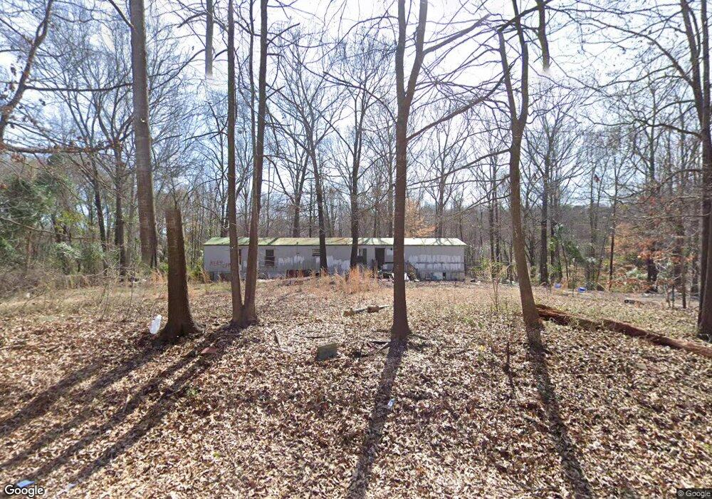
131 Upland Dr Maysville, GA 30558
Estimated Value: $293,000 - $436,000
--
Bed
--
Bath
--
Sq Ft
1.96
Acres
About This Home
This home is located at 131 Upland Dr, Maysville, GA 30558 and is currently estimated at $364,500. 131 Upland Dr is a home with nearby schools including Maysville Elementary School, East Jackson Middle School, and East Jackson Comprehensive High School.
Ownership History
Date
Name
Owned For
Owner Type
Purchase Details
Closed on
Jun 4, 2024
Sold by
Heaton Candace Taylor Ex Officio Sheriff
Bought by
Cavender Llc
Current Estimated Value
Purchase Details
Closed on
Sep 13, 2005
Sold by
Ford Johnny W
Bought by
Howard Phillip
Home Financials for this Owner
Home Financials are based on the most recent Mortgage that was taken out on this home.
Original Mortgage
$51,000
Interest Rate
5.77%
Mortgage Type
New Conventional
Purchase Details
Closed on
Aug 9, 1996
Bought by
Ford Johnny W
Create a Home Valuation Report for This Property
The Home Valuation Report is an in-depth analysis detailing your home's value as well as a comparison with similar homes in the area
Home Values in the Area
Average Home Value in this Area
Purchase History
| Date | Buyer | Sale Price | Title Company |
|---|---|---|---|
| Cavender Llc | $20,000 | -- | |
| Howard Phillip | $56,000 | -- | |
| Ford Johnny W | -- | -- |
Source: Public Records
Mortgage History
| Date | Status | Borrower | Loan Amount |
|---|---|---|---|
| Previous Owner | Howard Phillip | $51,000 |
Source: Public Records
Tax History Compared to Growth
Tax History
| Year | Tax Paid | Tax Assessment Tax Assessment Total Assessment is a certain percentage of the fair market value that is determined by local assessors to be the total taxable value of land and additions on the property. | Land | Improvement |
|---|---|---|---|---|
| 2024 | $342 | $13,812 | $13,600 | $212 |
| 2023 | $342 | $13,812 | $13,600 | $212 |
| 2022 | $391 | $13,812 | $13,600 | $212 |
| 2021 | $97 | $3,412 | $3,200 | $212 |
| 2020 | $107 | $3,412 | $3,200 | $212 |
| 2019 | $108 | $3,412 | $3,200 | $212 |
| 2018 | $130 | $4,040 | $3,200 | $840 |
| 2017 | $133 | $4,057 | $3,200 | $857 |
| 2016 | $134 | $4,057 | $3,200 | $857 |
| 2015 | $134 | $4,057 | $3,200 | $857 |
| 2014 | $135 | $4,057 | $3,200 | $857 |
| 2013 | -- | $3,097 | $2,240 | $857 |
Source: Public Records
Map
Nearby Homes
- 3354 Plainview Rd
- 596 Pinetree Cir
- 3565 Plainview Rd
- 1118 Marlow Rd
- 1542 Marlow Rd
- 4394 Holly Springs Rd
- 0 Holly Springs Rd Unit 10571613
- 0 Marlow Rd Unit 10587501
- 0 Marlow Rd Unit 7635185
- 195 Sims Farm Way
- 4292 Deadwyler Rd
- 1206 Ridgewood Dr
- 412 Emily Forest Way
- 323 Emily Forest Way
- 808 Eagle Heights Dr
- 718 Eagle Heights Dr
- 0 Holly Springs Rd Unit 10532102
- 0 Holly Springs Rd Unit 7650967
- 21 Upland Dr
- 32 Upland Dr
- 0 Upland Dr Unit 7462002
- 0 Upland Dr Unit 7599818
- 0 Upland Dr Unit 7123310
- 0 Upland Dr
- 108 Upland Dr
- 358 Highland Way
- 55 Highland Way
- 148 Upland Dr
- 283 Upland Dr
- 353 Highland Way
- 5 Highland Way
- 0 Highland Way
- 481 Hale Rd
- 202 Upland Dr
- 0 Hale Ct Unit 3170037
- 0 Hale Ct
- 578 Hale Rd
- 531 Hale Rd