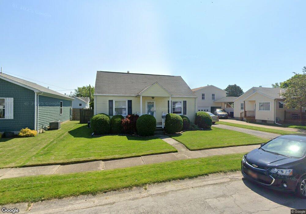
131 Walnut St Port Clinton, OH 43452
Estimated Value: $173,000 - $199,000
3
Beds
1
Bath
1,240
Sq Ft
$152/Sq Ft
Est. Value
About This Home
This home is located at 131 Walnut St, Port Clinton, OH 43452 and is currently estimated at $188,100, approximately $151 per square foot. 131 Walnut St is a home located in Ottawa County with nearby schools including Bataan Memorial Primary School, Bataan Memorial Intermediate School, and Port Clinton Middle School.
Ownership History
Date
Name
Owned For
Owner Type
Purchase Details
Closed on
Aug 11, 2011
Sold by
U S Bank National Association
Bought by
Short Lee A and Lee A Short Revocable Trust
Current Estimated Value
Purchase Details
Closed on
Apr 27, 2011
Sold by
Theibert Kim J and Theibert Terrie E
Bought by
U S Bank National Association
Create a Home Valuation Report for This Property
The Home Valuation Report is an in-depth analysis detailing your home's value as well as a comparison with similar homes in the area
Home Values in the Area
Average Home Value in this Area
Purchase History
| Date | Buyer | Sale Price | Title Company |
|---|---|---|---|
| Short Lee A | $53,000 | Attorney | |
| U S Bank National Association | -- | Attorney |
Source: Public Records
Tax History Compared to Growth
Tax History
| Year | Tax Paid | Tax Assessment Tax Assessment Total Assessment is a certain percentage of the fair market value that is determined by local assessors to be the total taxable value of land and additions on the property. | Land | Improvement |
|---|---|---|---|---|
| 2024 | $1,517 | $42,693 | $12,278 | $30,415 |
| 2023 | $1,517 | $31,756 | $7,021 | $24,735 |
| 2022 | $1,262 | $31,756 | $7,021 | $24,735 |
| 2021 | $1,261 | $31,750 | $7,020 | $24,730 |
| 2020 | $977 | $25,700 | $4,560 | $21,140 |
| 2019 | $967 | $25,700 | $4,560 | $21,140 |
| 2018 | $965 | $25,700 | $4,560 | $21,140 |
| 2017 | $979 | $25,660 | $4,560 | $21,100 |
| 2016 | $982 | $25,660 | $4,560 | $21,100 |
| 2015 | $985 | $25,660 | $4,560 | $21,100 |
| 2014 | $477 | $24,630 | $4,560 | $20,070 |
| 2013 | $957 | $24,630 | $4,560 | $20,070 |
Source: Public Records
Map
Nearby Homes
- 116 Walnut St
- 214 Linden St
- 1201 E 3rd St
- 35 N Beach St
- 29 N Beach St
- 218 Elm St
- 115 Driftwood Dr
- 801 E 3rd St
- 164 Driftwood Dr
- 188 Driftwood Dr
- 183 Driftwood Dr
- 168 Morningside Dr
- 1801 E Perry St Unit 22
- 199 Morningside Dr
- 1807 E Perry St Unit 69
- 525 E 2nd St
- 521 E 2nd St
- 34 Grande Lake Dr Unit C
- 423 Fulton St
- 2321 E State Rd