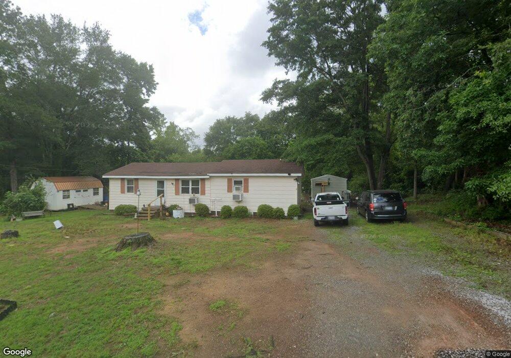
131 Young Rd Chesnee, SC 29323
Estimated Value: $141,000 - $179,348
3
Beds
2
Baths
1,110
Sq Ft
$148/Sq Ft
Est. Value
About This Home
This home is located at 131 Young Rd, Chesnee, SC 29323 and is currently estimated at $164,116, approximately $147 per square foot. 131 Young Rd is a home located in Spartanburg County with nearby schools including Chesnee Elementary School, Chesnee Middle School, and Chesnee High School.
Ownership History
Date
Name
Owned For
Owner Type
Purchase Details
Closed on
Apr 8, 2016
Sold by
Kirby Ransom
Bought by
Crane Michael A and Crane Lisa A
Current Estimated Value
Home Financials for this Owner
Home Financials are based on the most recent Mortgage that was taken out on this home.
Original Mortgage
$51,900
Outstanding Balance
$41,231
Interest Rate
3.68%
Mortgage Type
Purchase Money Mortgage
Estimated Equity
$122,885
Purchase Details
Closed on
Mar 10, 2008
Sold by
Hughes Emison and Hughes Ruby G
Bought by
Kirby Ransom
Create a Home Valuation Report for This Property
The Home Valuation Report is an in-depth analysis detailing your home's value as well as a comparison with similar homes in the area
Home Values in the Area
Average Home Value in this Area
Purchase History
| Date | Buyer | Sale Price | Title Company |
|---|---|---|---|
| Crane Michael A | $61,900 | Hanover Title Agency Inc | |
| Kirby Ransom | $1,796 | None Available |
Source: Public Records
Mortgage History
| Date | Status | Borrower | Loan Amount |
|---|---|---|---|
| Open | Crane Michael A | $51,900 |
Source: Public Records
Tax History
| Year | Tax Paid | Tax Assessment Tax Assessment Total Assessment is a certain percentage of the fair market value that is determined by local assessors to be the total taxable value of land and additions on the property. | Land | Improvement |
|---|---|---|---|---|
| 2025 | $209 | $2,848 | $412 | $2,436 |
| 2023 | $209 | $2,848 | $412 | $2,436 |
| 2022 | $143 | $2,476 | $312 | $2,164 |
| 2021 | $139 | $2,476 | $312 | $2,164 |
| 2020 | $131 | $2,476 | $312 | $2,164 |
| 2019 | $131 | $2,476 | $312 | $2,164 |
| 2018 | $129 | $2,476 | $312 | $2,164 |
| 2017 | $130 | $2,476 | $300 | $2,176 |
| 2016 | $57 | $1,609 | $299 | $1,310 |
| 2015 | $894 | $1,314 | $450 | $864 |
| 2014 | $504 | $1,314 | $450 | $864 |
Source: Public Records
Map
Nearby Homes
- 506 Battleground Rd
- 201 Lee Dr
- 480 Green Lake Rd
- 114 Mossburg Rd
- 304 Scenic View Dr
- 150 Colonial Dr
- 309 Green Valley Dr
- 3002 Margaret Ct
- 616 Mcarthur St
- 700 Red Line Ave
- 1264 Piedmont Rd
- 312 E Union St
- 00 Woods Farm Rd
- 309 S Lee St
- 384 Edgefield St
- 308 Lexington St
- 303 Edgefield St
- 306 Lexington St
- 254 York St
- 250 York St
- 222 Hilltop Dr
- 146 Pine Grove Cir
- 218 Hilltop Dr
- 121 Young Rd
- 214 Hilltop Dr
- 210 Hilltop Dr
- 120 Young Rd
- 227 Hilltop Dr
- 219 Hilltop Dr
- 215 Hilltop Dr
- 130 Pine Grove Cir
- 129 Pine Grove Cir
- 101 Young Rd
- 224 Pine Grove Cir
- 106 Blue Dawn Rd
- 253 Scruggs Rd
- 122 Pine Grove Cir
- 205 Scruggs Rd
- 228 Pine Grove Cir
- 225 Pine Grove Cir
Your Personal Tour Guide
Ask me questions while you tour the home.