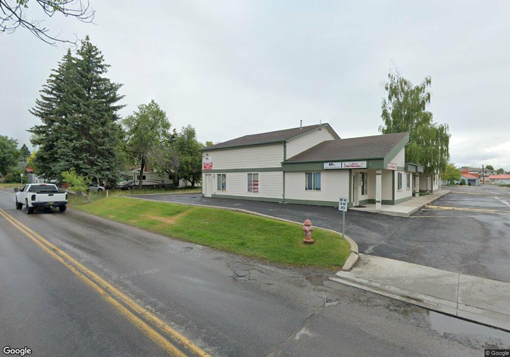
1310 Airport Rd Kalispell, MT 59901
Estimated Value: $271,961
Studio
--
Bath
950
Sq Ft
$286/Sq Ft
Est. Value
About This Home
This home is located at 1310 Airport Rd, Kalispell, MT 59901 and is currently estimated at $271,961, approximately $286 per square foot. 1310 Airport Rd is a home located in Flathead County with nearby schools including Elrod School, Kalispell Middle School, and Flathead High School.
Ownership History
Date
Name
Owned For
Owner Type
Purchase Details
Closed on
Jul 1, 2024
Sold by
Vault Properties Llc
Bought by
Taylorwood Properties Llc
Current Estimated Value
Purchase Details
Closed on
Jan 4, 2021
Sold by
Dsg Llc
Bought by
Ault Properties Llc
Home Financials for this Owner
Home Financials are based on the most recent Mortgage that was taken out on this home.
Original Mortgage
$119,000
Interest Rate
2.71%
Mortgage Type
Future Advance Clause Open End Mortgage
Create a Home Valuation Report for This Property
The Home Valuation Report is an in-depth analysis detailing your home's value as well as a comparison with similar homes in the area
Purchase History
| Date | Buyer | Sale Price | Title Company |
|---|---|---|---|
| Taylorwood Properties Llc | -- | Insured Titles | |
| Ault Properties Llc | -- | Alliance Title & Escrow Llc |
Source: Public Records
Mortgage History
| Date | Status | Borrower | Loan Amount |
|---|---|---|---|
| Previous Owner | Ault Properties Llc | $119,000 |
Source: Public Records
Tax History
| Year | Tax Paid | Tax Assessment Tax Assessment Total Assessment is a certain percentage of the fair market value that is determined by local assessors to be the total taxable value of land and additions on the property. | Land | Improvement |
|---|---|---|---|---|
| 2025 | $2,003 | $226,200 | $0 | $0 |
| 2024 | $1,598 | $146,600 | $0 | $0 |
| 2023 | $2,055 | $146,600 | $0 | $0 |
| 2022 | $1,523 | $108,300 | $0 | $0 |
| 2021 | $1,632 | $108,300 | $0 | $0 |
| 2020 | $1,967 | $102,800 | $0 | $0 |
| 2019 | $1,967 | $102,800 | $0 | $0 |
| 2018 | $844 | $81,100 | $0 | $0 |
| 2017 | $1,689 | $81,100 | $0 | $0 |
| 2016 | $1,726 | $93,100 | $0 | $0 |
| 2015 | $1,725 | $93,100 | $0 | $0 |
| 2014 | $1,662 | $74,848 | $0 | $0 |
Source: Public Records
Map
Nearby Homes
- 209 12th St W
- 1312 2nd Ave E
- NHN 11th St W
- 1031 4th Ave W
- 3953 US Highway 93 S
- 1034 4th Ave W
- 1339 4th Ave E
- 1305 4th Ave E
- 1215 7th Ave W
- 1313 7th Ave W
- 1308 7th Ave W
- 1230 7th Ave W
- 1483 & 1485 Western Dr
- 635 3rd Ave W
- Nhn 11th St W
- 1710 8th Ave E
- 519 1st Ave E
- 723 5th Ave E Unit 318-S
- 135 Rimrock Ct
- 442 2nd Ave W
- 1310 Airport Rd
- 1310 Airport Rd
- 1310 Airport Rd
- 1310 Airport Rd
- 1310 Airport Rd
- 1310 Airport Rd
- 1310 Airport Rd
- 1310 Airport Rd
- 1310 Airport Rd
- 1310 Airport Rd
- 1310 Airport Rd Unit 5
- 1342 Airport Rd
- 1340 Airport Rd
- 1400 Airport Rd
- 1370 Airport Rd
- 1352 Airport Rd
- 1354 Airport Rd
- 1366 Airport Rd
- 1402 Airport Rd
- 1364 Airport Rd Unit 6
Your Personal Tour Guide
Ask me questions while you tour the home.