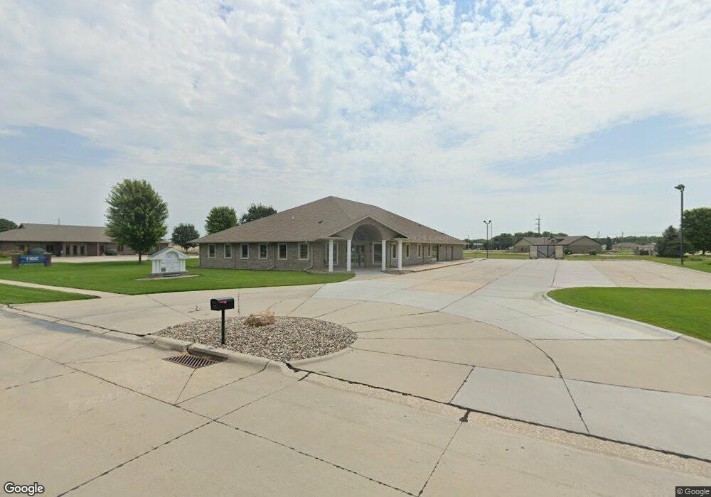
1310 Andrews Dr Norfolk, NE 68701
Estimated Value: $1,053,911
--
Bed
--
Bath
7,368
Sq Ft
$143/Sq Ft
Est. Value
About This Home
This home is located at 1310 Andrews Dr, Norfolk, NE 68701 and is currently estimated at $1,053,911, approximately $143 per square foot. 1310 Andrews Dr is a home located in Madison County with nearby schools including Norfolk Senior High School and St. Paul's Lutheran School.
Ownership History
Date
Name
Owned For
Owner Type
Purchase Details
Closed on
May 28, 2020
Sold by
Pfeifers Investments Llc
Bought by
Tste Llc
Current Estimated Value
Home Financials for this Owner
Home Financials are based on the most recent Mortgage that was taken out on this home.
Original Mortgage
$564,000
Outstanding Balance
$449,826
Interest Rate
3.3%
Mortgage Type
Future Advance Clause Open End Mortgage
Estimated Equity
$604,085
Purchase Details
Closed on
Feb 4, 2004
Sold by
Wingate A M and Wingate Marilyn J
Bought by
S W A M T Llc
Purchase Details
Closed on
May 30, 2001
Sold by
Clausen Bros Construction Inc
Bought by
Wingate A M and Wingate Marilyn J
Create a Home Valuation Report for This Property
The Home Valuation Report is an in-depth analysis detailing your home's value as well as a comparison with similar homes in the area
Home Values in the Area
Average Home Value in this Area
Purchase History
| Date | Buyer | Sale Price | Title Company |
|---|---|---|---|
| Tste Llc | $705,000 | Stewart Title Company | |
| S W A M T Llc | $535,000 | -- | |
| Wingate A M | $587,791 | -- |
Source: Public Records
Mortgage History
| Date | Status | Borrower | Loan Amount |
|---|---|---|---|
| Open | Tste Llc | $564,000 |
Source: Public Records
Tax History Compared to Growth
Tax History
| Year | Tax Paid | Tax Assessment Tax Assessment Total Assessment is a certain percentage of the fair market value that is determined by local assessors to be the total taxable value of land and additions on the property. | Land | Improvement |
|---|---|---|---|---|
| 2024 | $12,500 | $1,025,064 | $190,388 | $834,676 |
| 2023 | $18,951 | $1,025,064 | $190,388 | $834,676 |
| 2022 | $19,000 | $1,025,064 | $190,388 | $834,676 |
| 2021 | $19,831 | $1,071,913 | $300,775 | $771,138 |
| 2020 | $19,771 | $1,071,913 | $300,775 | $771,138 |
| 2019 | $15,006 | $785,657 | $80,874 | $704,783 |
| 2018 | $14,759 | $785,657 | $80,874 | $704,783 |
| 2017 | $13,746 | $730,885 | $72,209 | $658,676 |
| 2016 | $12,636 | $670,537 | $66,247 | $604,290 |
| 2015 | $12,639 | $670,537 | $66,247 | $604,290 |
| 2014 | $13,016 | $670,537 | $66,247 | $604,290 |
| 2013 | $13,437 | $670,537 | $66,247 | $604,290 |
Source: Public Records
Map
Nearby Homes
- 1314 Regency Cir
- 1312 Regency Cir
- 1318 Regency Cir S
- 1501 Regency Cir N
- 1503 Regency Cir N
- 1509 Regency Cir N
- 1510 Regency Cir N
- 304 Hespe Dr
- 701 Hespe Dr
- 702 Hespe Dr
- 114 W Cedar Ave
- 1002 N 1st St
- 906 Harrison Ave
- 1104 N 9th St
- 603 E Spruce Ave
- 913 Janet Ln
- 1208 Grant Ave
- 706 Linden Ln
- 607 N 11th St
- 312 N Pine St
- 1401 Andrews Dr
- 1403 Andrews Dr
- 1405 Andrews Dr
- Regency Circle N Lots
- 1305 N 1st St
- 1407 Andrews Dr
- 1409 Andrews Dr
- 1311 Regency Cir S
- 1309 N 1st St
- 1411 Andrews Dr
- 1318 Andrews Dr
- 1313 Regency Cir S
- 1413 Andrews Dr
- 100 W Benjamin Ave
- 1316 Regency Cir S
- 1415 Andrews Dr
- 1322 Andrews Dr
- 1417 and 1419 Andrews Dr
- 1319 Regency Cir S
- 1501 and 1503 Regency Cir N