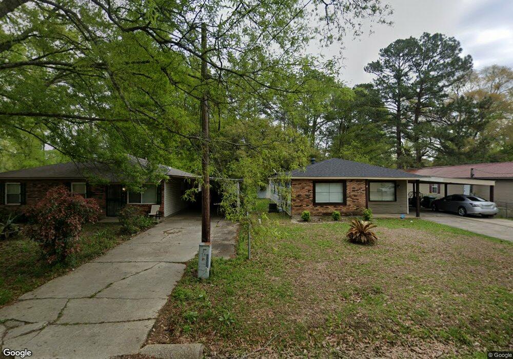
1310 Apple St Hammond, LA 70401
Estimated Value: $75,000 - $122,220
--
Bed
--
Bath
1,134
Sq Ft
$87/Sq Ft
Est. Value
About This Home
This home is located at 1310 Apple St, Hammond, LA 70401 and is currently estimated at $98,555, approximately $86 per square foot. 1310 Apple St is a home located in Tangipahoa Parish with nearby schools including Woodland Park Magnet, Hammond High Magnet School, and Emmanuel Seventh-day Adventist School & Daycare.
Ownership History
Date
Name
Owned For
Owner Type
Purchase Details
Closed on
Jan 29, 2009
Sold by
Auzenne Ricky
Bought by
Lasalle Bank Na
Current Estimated Value
Purchase Details
Closed on
Oct 5, 2006
Sold by
Kane Carolyn Marie
Bought by
Hammond Garden District Llc
Purchase Details
Closed on
Apr 24, 2006
Sold by
Hammond Garden District Llc
Bought by
W I A Llc
Purchase Details
Closed on
Jan 25, 2006
Sold by
Hammond Garden Districk Llc
Bought by
Kane Carolyn Marie
Create a Home Valuation Report for This Property
The Home Valuation Report is an in-depth analysis detailing your home's value as well as a comparison with similar homes in the area
Home Values in the Area
Average Home Value in this Area
Purchase History
| Date | Buyer | Sale Price | Title Company |
|---|---|---|---|
| Lasalle Bank Na | $78,100 | None Available | |
| Hammond Garden District Llc | $160,150 | None Available | |
| W I A Llc | $49,900 | None Available | |
| Kane Carolyn Marie | $49,900 | None Available |
Source: Public Records
Tax History Compared to Growth
Tax History
| Year | Tax Paid | Tax Assessment Tax Assessment Total Assessment is a certain percentage of the fair market value that is determined by local assessors to be the total taxable value of land and additions on the property. | Land | Improvement |
|---|---|---|---|---|
| 2024 | $449 | $5,428 | $864 | $4,564 |
| 2023 | $448 | $5,363 | $800 | $4,563 |
| 2022 | $448 | $5,363 | $800 | $4,563 |
| 2021 | $119 | $5,363 | $800 | $4,563 |
| 2020 | $561 | $5,363 | $800 | $4,563 |
| 2019 | $559 | $5,363 | $800 | $4,563 |
| 2018 | $561 | $5,363 | $800 | $4,563 |
| 2017 | $561 | $5,363 | $800 | $4,563 |
| 2016 | $561 | $5,363 | $800 | $4,563 |
| 2015 | -- | $5,363 | $800 | $4,563 |
| 2014 | -- | $5,363 | $800 | $4,563 |
Source: Public Records
Map
Nearby Homes
- 1000 M C Moore Rd
- 118 Ruth Dr
- 801 Magazine St
- 800 Campo St
- 808 Martin Luther King Ave
- 1010-12 Martin Luther King Ave
- 101 E David Dr
- 1210 N Holly St
- 45246 Morris Rd
- 1102 N Cherry St
- 900 N Cherry St
- 1301 N Holly St
- 301 E University Ave
- 404 E Colorado St
- 412 E Michigan St
- 407 E Michigan St
- 100, 101, 128 Clinton Ct