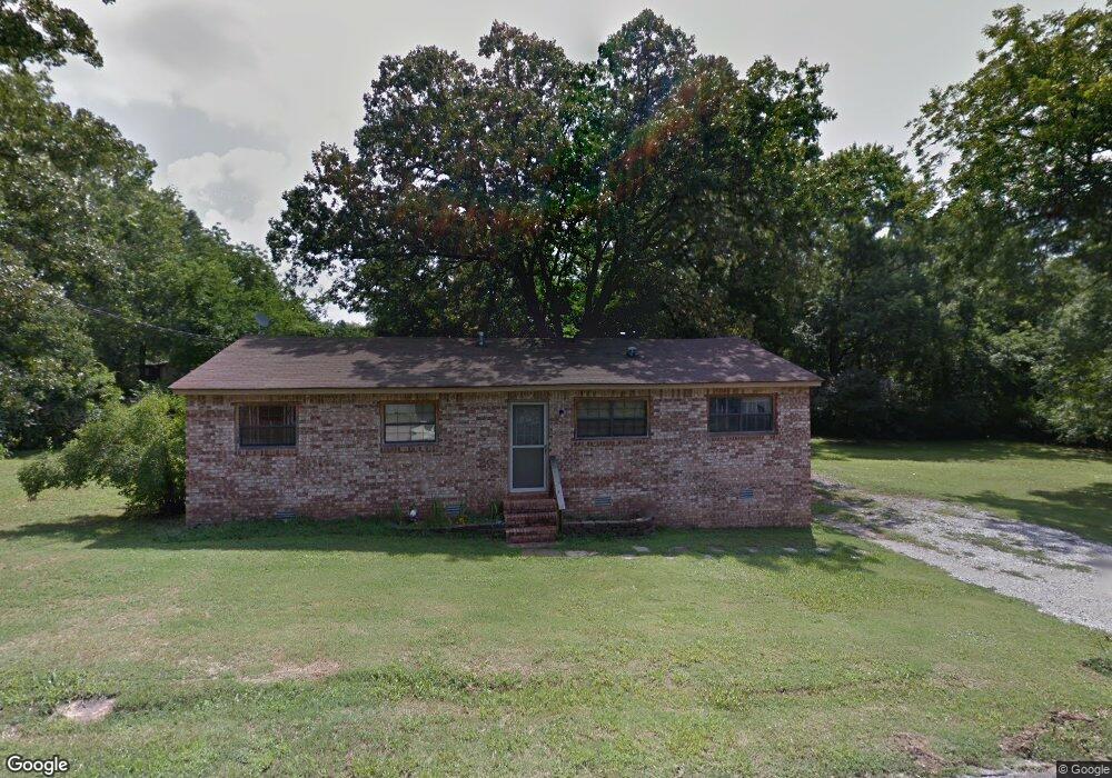
1310 Davis 1o9erh3zqtv2 Batesville, AR 72501
Estimated Value: $74,103 - $114,000
--
Bed
--
Bath
1,323
Sq Ft
$74/Sq Ft
Est. Value
About This Home
This home is located at 1310 Davis 1o9erh3zqtv2, Batesville, AR 72501 and is currently estimated at $98,276, approximately $74 per square foot. 1310 Davis 1o9erh3zqtv2 is a home located in Independence County with nearby schools including Batesville Junior High School, Batesville High School, and Hope Lutheran School.
Ownership History
Date
Name
Owned For
Owner Type
Purchase Details
Closed on
Jun 25, 2007
Sold by
Not Provided
Bought by
Smith Brenda
Current Estimated Value
Purchase Details
Closed on
Jul 31, 2003
Sold by
Lancaster Lesia
Bought by
Lancaster Mark
Purchase Details
Closed on
Apr 30, 1998
Bought by
Collins Robert D
Purchase Details
Closed on
Jul 22, 1991
Bought by
Collins Robert D
Create a Home Valuation Report for This Property
The Home Valuation Report is an in-depth analysis detailing your home's value as well as a comparison with similar homes in the area
Home Values in the Area
Average Home Value in this Area
Purchase History
| Date | Buyer | Sale Price | Title Company |
|---|---|---|---|
| Smith Brenda | $63,000 | -- | |
| Smith Brenda | $63,000 | -- | |
| Lancaster Mark | $55,000 | -- | |
| Lancaster Mark | $55,000 | -- | |
| Collins Robert D | $20,000 | -- | |
| Collins Robert D | $2,000 | -- |
Source: Public Records
Tax History Compared to Growth
Tax History
| Year | Tax Paid | Tax Assessment Tax Assessment Total Assessment is a certain percentage of the fair market value that is determined by local assessors to be the total taxable value of land and additions on the property. | Land | Improvement |
|---|---|---|---|---|
| 2024 | $60 | $10,500 | $2,540 | $7,960 |
| 2023 | $135 | $10,500 | $2,540 | $7,960 |
| 2022 | $185 | $10,500 | $2,540 | $7,960 |
| 2021 | $185 | $10,500 | $2,540 | $7,960 |
| 2020 | $185 | $10,500 | $2,540 | $7,960 |
| 2019 | $181 | $10,430 | $3,050 | $7,380 |
| 2018 | $206 | $10,430 | $3,050 | $7,380 |
| 2017 | $200 | $10,430 | $3,050 | $7,380 |
| 2016 | $200 | $10,430 | $3,050 | $7,380 |
| 2015 | $196 | $10,430 | $3,050 | $7,380 |
| 2014 | $311 | $12,530 | $5,500 | $7,030 |
Source: Public Records
Map
Nearby Homes
- 490 Gregg Dr
- 405 Hawkins St
- 480 Hawkins St
- 814 Bayou St
- 32 & 33 Joe Baker Rd
- 325 Broadwater Ln
- 1819 N State St
- 915 Bethesda Rd
- 181 S Central Ave
- 40 Sutton Ln
- 411 S Central Ave
- 253 N 8th St
- 476 E Boswell St
- 551 E Boswell St
- 781 E Main St
- 928 E Main St
- 909 E Boswell St
- 3565 Denny Cir
- 1423 Bates St
- 120 20th St