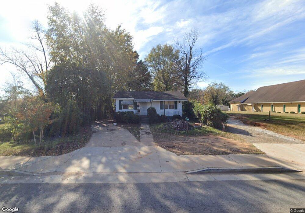
1310 E 10th St West Point, GA 31833
Estimated Value: $42,000 - $60,684
3
Beds
1
Bath
888
Sq Ft
$56/Sq Ft
Est. Value
About This Home
This home is located at 1310 E 10th St, West Point, GA 31833 and is currently estimated at $49,921, approximately $56 per square foot. 1310 E 10th St is a home located in Troup County with nearby schools including West Point Elementary School, Long Cane Elementary School, and Whitesville Road Elementary School.
Ownership History
Date
Name
Owned For
Owner Type
Purchase Details
Closed on
Jun 17, 2025
Sold by
Lovett Thornton
Bought by
Martinez Julian and Southern Home Capital Llc
Current Estimated Value
Purchase Details
Closed on
Jun 2, 2006
Sold by
Emanuel Chapel Cme
Bought by
Thornton Lovett
Purchase Details
Closed on
Nov 21, 1994
Sold by
Mary Posey Gilliam
Bought by
Church Chapel Cme
Purchase Details
Closed on
Jan 15, 1976
Sold by
Frank Posey
Bought by
Mary Posey Gilliam
Purchase Details
Closed on
Sep 10, 1973
Sold by
Trutees Of Emanuel Chapel
Bought by
Frank Posey
Purchase Details
Closed on
Feb 1, 1969
Sold by
Fannie Burney Aka Eubanks
Bought by
Trutees Of Emanuel Chapel
Purchase Details
Closed on
Oct 1, 1932
Sold by
Mary Baugh
Bought by
Fannie Burney Aka Eubanks
Create a Home Valuation Report for This Property
The Home Valuation Report is an in-depth analysis detailing your home's value as well as a comparison with similar homes in the area
Home Values in the Area
Average Home Value in this Area
Purchase History
| Date | Buyer | Sale Price | Title Company |
|---|---|---|---|
| Martinez Julian | $43,000 | -- | |
| Thornton Lovett | $32,000 | -- | |
| Church Chapel Cme | $21,500 | -- | |
| Mary Posey Gilliam | -- | -- | |
| Frank Posey | -- | -- | |
| Trutees Of Emanuel Chapel | -- | -- | |
| Fannie Burney Aka Eubanks | -- | -- |
Source: Public Records
Tax History Compared to Growth
Tax History
| Year | Tax Paid | Tax Assessment Tax Assessment Total Assessment is a certain percentage of the fair market value that is determined by local assessors to be the total taxable value of land and additions on the property. | Land | Improvement |
|---|---|---|---|---|
| 2024 | $708 | $20,000 | $7,760 | $12,240 |
| 2023 | $565 | $20,720 | $7,760 | $12,960 |
| 2022 | $557 | $19,960 | $7,760 | $12,200 |
| 2021 | $586 | $19,440 | $7,760 | $11,680 |
| 2020 | $402 | $13,320 | $1,400 | $11,920 |
| 2019 | $376 | $12,480 | $1,400 | $11,080 |
| 2018 | $361 | $11,960 | $1,400 | $10,560 |
| 2017 | $361 | $11,960 | $1,400 | $10,560 |
| 2016 | $350 | $11,610 | $1,400 | $10,210 |
| 2015 | $351 | $11,610 | $1,400 | $10,210 |
| 2014 | $335 | $11,072 | $1,400 | $9,672 |
| 2013 | -- | $11,833 | $1,400 | $10,433 |
Source: Public Records
Map
Nearby Homes
- 0 Arrowhead Dr Unit 10451860
- 1008 E 12th St
- 509 Cleveland St
- 713 Avenue H
- 0 Sunset Dr Unit 10451831
- 804 E 6th St
- 1505 Wisteria Dr
- 311 E 4th St
- 112 Hillcrest Rd
- 508 Pine St
- 4517 Georgia 18
- 4509 Georgia 18
- 4523 Georgia 18
- 4527 Georgia 18
- 128 Highland Dr
- 1007 4th Ave
- 712 4th Ave
- 1903 Ridgewood Dr
- 1410 Roper Ave
- 1314 4th Ave
- 909 Martin Luther King Dr
- 1407 E 9th St
- 1307 E 9th St
- 1404 1/2 E 9th St
- 1300 E 10th St
- 1408 E 9th St
- 1301 E 9th St
- 1306 E 9th St
- 1303 E 9th St
- 1410 E 9th St
- 1304 E 9th St
- 1301 E 10th St
- 909 Avenue M
- 907 Avenue M
- 1302 E 9th St
- 1300 E 9th St
- 901 Avenue M
- 1204 E 10th St
- 1403 E 8th St
- 803 Martin Luther King Dr