Estimated Value: $443,000 - $540,000
3
Beds
2
Baths
2,450
Sq Ft
$192/Sq Ft
Est. Value
About This Home
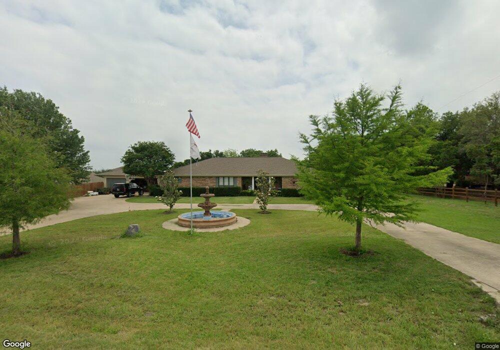
This home is located at 1310 E Stone Rd, Wylie, TX 75098 and is currently estimated at $471,210, approximately $192 per square foot. 1310 E Stone Rd is a home located in Collin County with nearby schools including Wally Watkins Elementary School, AB Harrison Intermediate School, and Grady Burnett J High School.
Ownership History
Date
Name
Owned For
Owner Type
Purchase Details
Closed on
Oct 15, 2013
Sold by
Tyler David L and Tyler Esther M
Bought by
Mondy John
Current Estimated Value
Home Financials for this Owner
Home Financials are based on the most recent Mortgage that was taken out on this home.
Original Mortgage
$247,920
Outstanding Balance
$187,086
Interest Rate
4.61%
Mortgage Type
VA
Estimated Equity
$284,124
Purchase Details
Closed on
Oct 27, 1995
Sold by
Lamb Carol Shivar and Lamb Carol S
Bought by
Tyler David L and Tyler Esther M
Home Financials for this Owner
Home Financials are based on the most recent Mortgage that was taken out on this home.
Original Mortgage
$113,344
Interest Rate
7.58%
Mortgage Type
FHA
Create a Home Valuation Report for This Property
The Home Valuation Report is an in-depth analysis detailing your home's value as well as a comparison with similar homes in the area
Home Values in the Area
Average Home Value in this Area
Purchase History
| Date | Buyer | Sale Price | Title Company |
|---|---|---|---|
| Mondy John | -- | Rtt | |
| Tyler David L | -- | -- |
Source: Public Records
Mortgage History
| Date | Status | Borrower | Loan Amount |
|---|---|---|---|
| Open | Mondy John | $247,920 | |
| Previous Owner | Tyler David L | $113,344 |
Source: Public Records
Tax History Compared to Growth
Tax History
| Year | Tax Paid | Tax Assessment Tax Assessment Total Assessment is a certain percentage of the fair market value that is determined by local assessors to be the total taxable value of land and additions on the property. | Land | Improvement |
|---|---|---|---|---|
| 2025 | $3,279 | $407,602 | $164,560 | $243,042 |
| 2024 | $3,279 | $381,498 | $164,560 | $216,938 |
| 2023 | $3,279 | $376,086 | $52,360 | $323,726 |
| 2022 | $6,016 | $368,754 | $61,600 | $332,630 |
| 2021 | $5,729 | $364,423 | $52,800 | $311,623 |
| 2020 | $5,469 | $304,755 | $52,800 | $251,955 |
| 2019 | $6,163 | $324,032 | $52,800 | $271,232 |
| 2018 | $5,803 | $303,471 | $52,800 | $272,775 |
| 2017 | $5,275 | $275,883 | $52,800 | $223,083 |
| 2016 | $4,933 | $280,333 | $52,800 | $227,533 |
| 2015 | $4,217 | $232,429 | $35,200 | $197,229 |
Source: Public Records
Map
Nearby Homes
- 1201 E Stone Rd
- 1320 Cedar Branch Dr
- 1318 Chestnut Hill Dr
- 1321 Iron Horse St
- 1210 Iron Horse St
- 306 Foxwood Ct
- 407 Sparrow Dr
- 312 Maltese Cir
- 1323 Canyon Creek Rd
- 1330 Canyon Creek Rd
- 1316 Taren Trail
- 1318 Taren Trail
- 1209 Surrey Cir
- 1115 Nighthawk Dr
- 1210 Troy Rd
- 1503 E Collins Blvd
- 825 Forest Edge Ln
- 409 Cedar Ridge Dr
- 825 Foxwood Ln
- 1613 Saddle Ridge Dr
- 1315 Clear Creek Dr
- 1250 E Stone Rd
- 1311 Clear Creek Dr
- 1317 Clear Creek Dr
- 1306 Clear Creek Dr
- 1309 Clear Creek Dr
- 1319 Clear Creek Dr
- 1308 Clear Creek Dr
- 1308R Clear Creek Dr
- 1307 Clear Creek Dr
- 1321 Clear Creek Dr
- 1019 Foxwood Ln
- 1304 Clear Creek Dr
- 1021 Foxwood Ln
- 1310 Clear Creek Dr
- 1017 Foxwood Ln
- 1305 Clear Creek Dr
- 1323 Clear Creek Dr
- 1302 Clear Creek Dr
- 1023 Foxwood Ln