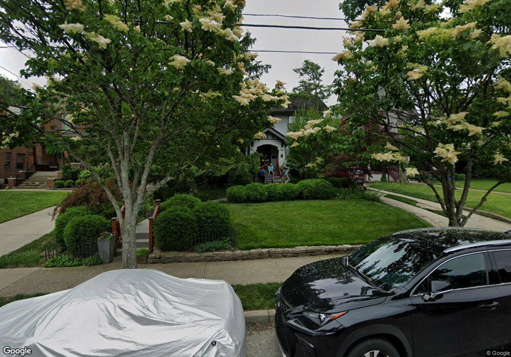
1310 Edwards Rd Cincinnati, OH 45208
Hyde Park NeighborhoodEstimated Value: $629,000 - $860,000
5
Beds
3
Baths
2,929
Sq Ft
$273/Sq Ft
Est. Value
About This Home
This home is located at 1310 Edwards Rd, Cincinnati, OH 45208 and is currently estimated at $800,083, approximately $273 per square foot. 1310 Edwards Rd is a home located in Hamilton County with nearby schools including Withrow University High School, Clark Montessori High School, and Shroder High School.
Ownership History
Date
Name
Owned For
Owner Type
Purchase Details
Closed on
Nov 30, 2006
Sold by
Oneal L Duanne
Bought by
Fleischer David R and Fleischer Sheila L
Current Estimated Value
Home Financials for this Owner
Home Financials are based on the most recent Mortgage that was taken out on this home.
Original Mortgage
$210,000
Interest Rate
6.33%
Mortgage Type
Purchase Money Mortgage
Create a Home Valuation Report for This Property
The Home Valuation Report is an in-depth analysis detailing your home's value as well as a comparison with similar homes in the area
Home Values in the Area
Average Home Value in this Area
Purchase History
| Date | Buyer | Sale Price | Title Company |
|---|---|---|---|
| Fleischer David R | $351,000 | Attorney |
Source: Public Records
Mortgage History
| Date | Status | Borrower | Loan Amount |
|---|---|---|---|
| Closed | Fleischer David R | $210,000 |
Source: Public Records
Tax History
| Year | Tax Paid | Tax Assessment Tax Assessment Total Assessment is a certain percentage of the fair market value that is determined by local assessors to be the total taxable value of land and additions on the property. | Land | Improvement |
|---|---|---|---|---|
| 2025 | $10,653 | $225,624 | $93,191 | $132,433 |
| 2024 | $10,332 | $225,624 | $93,191 | $132,433 |
| 2023 | $10,617 | $225,624 | $93,191 | $132,433 |
| 2022 | $10,636 | $197,803 | $68,058 | $129,745 |
| 2021 | $10,239 | $197,803 | $68,058 | $129,745 |
| 2020 | $10,540 | $197,803 | $68,058 | $129,745 |
| 2019 | $9,932 | $170,521 | $58,671 | $111,850 |
| 2018 | $9,947 | $136,595 | $58,671 | $77,924 |
| 2017 | $9,575 | $136,595 | $58,671 | $77,924 |
| 2016 | $8,733 | $122,837 | $50,495 | $72,342 |
| 2015 | $7,873 | $122,837 | $50,495 | $72,342 |
| 2014 | $7,929 | $122,837 | $50,495 | $72,342 |
| 2013 | $7,403 | $112,693 | $46,326 | $66,367 |
Source: Public Records
Map
Nearby Homes
- 1318 Edwards Rd
- 2837 Linwood Ave
- 2868 Pineridge Ave
- 1231 Meriweather Ave
- 2801 Erie Ave
- 3500 Michigan Ave
- 3504 Shaw Ave
- 3506 Shaw Ave
- 2800 Erie Ave
- 3425 Berry Ave
- 1231 Grace Ave
- 2312 Dana Ave
- 2352 Dana Ave Unit 2352
- 2444 Madison Rd
- 2380 Madison Rd
- 3110 Kinmont St
- 3109 Linwood Ave
- 3008 Erie Ave
- 2374 Madison Rd
- 2324 Madison Rd Unit 404
- 1308 Edwards Rd
- 1314 Edwards Rd
- 1302 Edwards Rd
- 2714 Hampshire Ave
- 1322 Edwards Rd
- 2718 Hampshire Ave
- 1317 Edwards Rd
- 1317 Edwards Rd Unit 1
- 1301 Edwards Rd
- 1326 Edwards Rd
- 1319 Edwards Rd
- 1321 Edwards Rd
- 1323 Edwards Rd
- 1256 Edwards Rd
- 1303 Michigan Ave
- 2709 Hampshire Ave
- 1330 Edwards Rd
- 1309 Michigan Ave
- 1315 Michigan Ave
- 1305 Michigan Ave
Your Personal Tour Guide
Ask me questions while you tour the home.