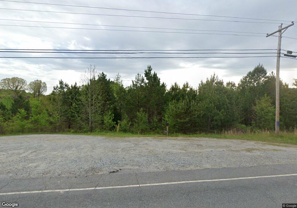
1310 Highway 9 S Mill Spring, NC 28756
Estimated Value: $517,379 - $756,000
3
Beds
3
Baths
2,524
Sq Ft
$252/Sq Ft
Est. Value
About This Home
This home is located at 1310 Highway 9 S, Mill Spring, NC 28756 and is currently estimated at $635,095, approximately $251 per square foot. 1310 Highway 9 S is a home.
Ownership History
Date
Name
Owned For
Owner Type
Purchase Details
Closed on
Nov 5, 2021
Sold by
Pack Allen Russell
Bought by
Pack Mitchell Russell and Pack Diana J
Current Estimated Value
Purchase Details
Closed on
Nov 17, 2020
Sold by
Pack Allen Russell and Pack Betty D
Bought by
Pack Mitchell Russell and Pack Diana J
Purchase Details
Closed on
Dec 31, 1997
Bought by
Pack Allen Russell
Create a Home Valuation Report for This Property
The Home Valuation Report is an in-depth analysis detailing your home's value as well as a comparison with similar homes in the area
Home Values in the Area
Average Home Value in this Area
Purchase History
| Date | Buyer | Sale Price | Title Company |
|---|---|---|---|
| Pack Mitchell Russell | -- | None Available | |
| Pack Mitchell Russell | -- | None Available | |
| Pack Allen Russell | -- | -- |
Source: Public Records
Tax History Compared to Growth
Tax History
| Year | Tax Paid | Tax Assessment Tax Assessment Total Assessment is a certain percentage of the fair market value that is determined by local assessors to be the total taxable value of land and additions on the property. | Land | Improvement |
|---|---|---|---|---|
| 2025 | $2,006 | $392,996 | $105,520 | $287,476 |
| 2024 | $1,931 | $301,842 | $66,700 | $235,142 |
| 2023 | $1,931 | $301,842 | $66,700 | $235,142 |
| 2022 | $1,815 | $301,842 | $66,700 | $235,142 |
| 2021 | $1,815 | $301,842 | $66,700 | $235,142 |
| 2020 | $1,501 | $232,511 | $53,360 | $179,151 |
| 2019 | $1,501 | $232,511 | $53,360 | $179,151 |
| 2018 | $1,455 | $232,511 | $53,360 | $179,151 |
| 2017 | $1,420 | $255,031 | $47,240 | $207,791 |
| 2016 | $1,553 | $255,031 | $47,240 | $207,791 |
| 2015 | $1,490 | $0 | $0 | $0 |
| 2014 | $1,490 | $0 | $0 | $0 |
| 2013 | -- | $0 | $0 | $0 |
Source: Public Records
Map
Nearby Homes
- 1642 Smith Waldrop Rd
- 620 Smith Waldrop Rd
- Lot 3 S Cross Creek Trail
- 00 Bill Collins Rd
- 0 N Carolina 108
- 256 School Rd
- 0 Quail Ridge Rd Unit 214 CAR4265619
- 0 Mountain Pkwy Unit Lot 29
- 768 White Oak Ln
- 00 A R Thompson Rd
- Lot 20 A R Thompson Rd
- Lot 20 A R Thompson Rd Unit 20
- Lot 48.2 A R Thompson Rd
- Lot 46 A R Thompson Rd
- Lot 17.2 Saddleside Dr Unit 17.2
- 00 Saddleside Dr
- Lot 8-1 Whiteside Rd
- Lot 8.2 Whiteside Rd
- 6271 N Carolina 108
- 0 Hugh Champion Rd Unit 1-9 13-26 28-61
- 35 Ruff Ln
- 1237 Highway 9 S
- 95 Ruff Ln
- 14645 S 9 Nc
- 1490 Highway 9 S
- 6 Whits Ln Unit 6
- 2 Whits Ln
- 2 Whits Ln Unit 2
- 999 Nc Hwy 9 Highway C
- 999 Nc Hwy 9 Highway B
- 175 Independence Dr
- 1559 Highway 9 S
- 160 White Fence Ln
- 104 York Dr
- 490 White Fence Ln
- 1669 Highway 9 N
- 1417 Smith Waldrop Rd
- 1209 Smith Waldrop Rd
- 605 Frank Wilson Rd
- 1377 Smith Waldrop Rd
