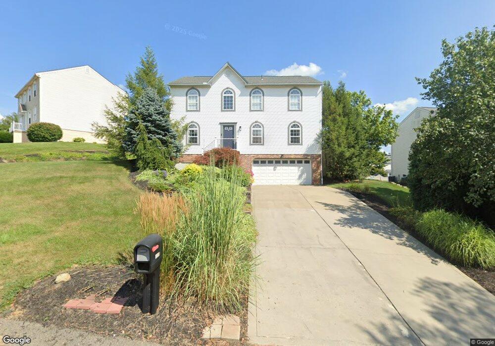
1310 Morgan Cir Canonsburg, PA 15317
Estimated Value: $433,000 - $488,000
4
Beds
3
Baths
2,240
Sq Ft
$206/Sq Ft
Est. Value
About This Home
This home is located at 1310 Morgan Cir, Canonsburg, PA 15317 and is currently estimated at $462,455, approximately $206 per square foot. 1310 Morgan Cir is a home located in Washington County with nearby schools including Canon-Mcmillan Senior High School.
Ownership History
Date
Name
Owned For
Owner Type
Purchase Details
Closed on
Apr 24, 2003
Sold by
Yeager Thomas
Bought by
King Timothy
Current Estimated Value
Home Financials for this Owner
Home Financials are based on the most recent Mortgage that was taken out on this home.
Original Mortgage
$155,200
Outstanding Balance
$66,134
Interest Rate
5.64%
Mortgage Type
New Conventional
Estimated Equity
$396,321
Purchase Details
Closed on
Oct 4, 2001
Sold by
Maronda Homes Inc
Bought by
Yeager Thomas L
Create a Home Valuation Report for This Property
The Home Valuation Report is an in-depth analysis detailing your home's value as well as a comparison with similar homes in the area
Home Values in the Area
Average Home Value in this Area
Purchase History
| Date | Buyer | Sale Price | Title Company |
|---|---|---|---|
| King Timothy | $194,000 | -- | |
| Yeager Thomas L | $164,900 | -- |
Source: Public Records
Mortgage History
| Date | Status | Borrower | Loan Amount |
|---|---|---|---|
| Open | King Timothy | $155,200 |
Source: Public Records
Tax History Compared to Growth
Tax History
| Year | Tax Paid | Tax Assessment Tax Assessment Total Assessment is a certain percentage of the fair market value that is determined by local assessors to be the total taxable value of land and additions on the property. | Land | Improvement |
|---|---|---|---|---|
| 2025 | $4,901 | $286,700 | $74,300 | $212,400 |
| 2024 | $4,576 | $286,700 | $74,300 | $212,400 |
| 2023 | $4,576 | $286,700 | $74,300 | $212,400 |
| 2022 | $4,562 | $286,700 | $74,300 | $212,400 |
| 2021 | $4,562 | $286,700 | $74,300 | $212,400 |
| 2020 | $4,332 | $286,700 | $74,300 | $212,400 |
| 2019 | $4,261 | $286,700 | $74,300 | $212,400 |
| 2018 | $4,171 | $286,700 | $74,300 | $212,400 |
| 2017 | $1,279 | $286,700 | $74,300 | $212,400 |
| 2016 | $1,279 | $36,665 | $6,830 | $29,835 |
| 2015 | $4,227 | $36,665 | $6,830 | $29,835 |
| 2014 | $1,334 | $36,665 | $6,830 | $29,835 |
| 2013 | $1,334 | $36,665 | $6,830 | $29,835 |
Source: Public Records
Map
Nearby Homes
- 118 Maple Ridge Dr
- 113 Maple Ridge Ct
- 151 Liberty Blvd
- 205 Maple Ridge Dr
- 238 Maple Ridge Dr
- 235 Liberty Blvd
- 1029 Woodlawn Dr
- The Franklin Plan at Southpointe
- The Betsy Ross Plan at Southpointe
- The Washington Plan at Southpointe
- The Grant Plan at Southpointe
- The Hancock Plan at Southpointe
- 454 Independence Way
- 304 Maple Ridge Dr
- 310 Maple Ridge Dr
- 1009 Waterford Ct W
- 153 Twilight Dr
- 1047 Waterford Ct E
- 127 Fairway Landings Dr
- 612 Hunting Creek Rd
- 1314 Morgan Cir
- 1306 Morgan Cir
- 1316 Morgan Cir
- 1304 Morgan Cir
- 1207 Pioneer Trail
- 1205 Pioneer Trail
- 1305 Morgan Cirlce
- 1305 Morgan Cir
- 1211 Pioneer Trail
- 1309 Morgan Cir
- 1203 Pioneer Trail
- 1313 Morgan Cir
- 1303 Morgan Cir
- 1302 Morgan Cir
- 1311 Morgan Cir
- 1315 Morgan Cir
- 1318 Morgan Cir
- 1201 Pioneer Trail
- 1317 Morgan Cir
- 1301 Morgan Cir