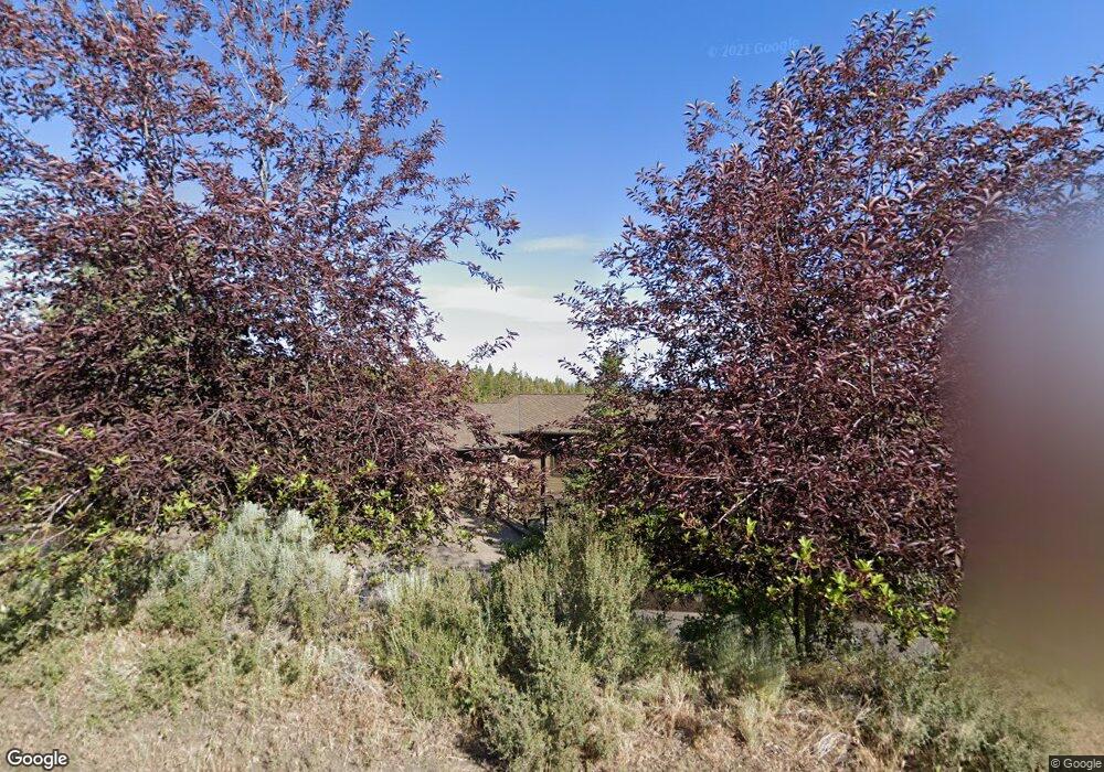
1310 NW Archie Briggs Rd Bend, OR 97701
Awbrey Butte NeighborhoodEstimated Value: $1,175,000 - $1,613,000
2
Beds
4
Baths
1,754
Sq Ft
$825/Sq Ft
Est. Value
About This Home
This home is located at 1310 NW Archie Briggs Rd, Bend, OR 97701 and is currently estimated at $1,446,244, approximately $824 per square foot. 1310 NW Archie Briggs Rd is a home located in Deschutes County with nearby schools including North Star Elementary School, Pacific Crest Middle School, and Summit High School.
Ownership History
Date
Name
Owned For
Owner Type
Purchase Details
Closed on
Nov 11, 2020
Sold by
Channing Carl D and Faist Diane
Bought by
Carl Channing And Diane Faist Joint Trust and Channing
Current Estimated Value
Purchase Details
Closed on
Nov 28, 2006
Sold by
Channing Carl D
Bought by
Channing Carl D and Faist Diane
Purchase Details
Closed on
Oct 26, 2004
Sold by
Lane Robert C
Bought by
Channing Carl D
Home Financials for this Owner
Home Financials are based on the most recent Mortgage that was taken out on this home.
Original Mortgage
$141,750
Interest Rate
5.74%
Mortgage Type
Credit Line Revolving
Create a Home Valuation Report for This Property
The Home Valuation Report is an in-depth analysis detailing your home's value as well as a comparison with similar homes in the area
Home Values in the Area
Average Home Value in this Area
Purchase History
| Date | Buyer | Sale Price | Title Company |
|---|---|---|---|
| Carl Channing And Diane Faist Joint Trust | -- | None Listed On Document | |
| Channing Carl D | -- | None Available | |
| Channing Carl D | -- | Amerititle |
Source: Public Records
Mortgage History
| Date | Status | Borrower | Loan Amount |
|---|---|---|---|
| Previous Owner | Channing Carl D | $141,750 |
Source: Public Records
Tax History Compared to Growth
Tax History
| Year | Tax Paid | Tax Assessment Tax Assessment Total Assessment is a certain percentage of the fair market value that is determined by local assessors to be the total taxable value of land and additions on the property. | Land | Improvement |
|---|---|---|---|---|
| 2025 | $6,951 | $411,370 | -- | -- |
| 2024 | $6,687 | $399,390 | -- | -- |
| 2023 | $6,199 | $387,760 | $0 | $0 |
| 2022 | $5,784 | $365,510 | $0 | $0 |
| 2021 | $5,792 | $354,870 | $0 | $0 |
| 2020 | $5,495 | $354,870 | $0 | $0 |
| 2019 | $5,342 | $344,540 | $0 | $0 |
| 2018 | $5,192 | $334,510 | $0 | $0 |
| 2017 | $5,039 | $324,770 | $0 | $0 |
| 2016 | $4,806 | $315,320 | $0 | $0 |
| 2015 | $4,673 | $306,140 | $0 | $0 |
| 2014 | $4,535 | $297,230 | $0 | $0 |
Source: Public Records
Map
Nearby Homes
- 1470 NW Puccoon Ct
- 3615 NW Falcon Ridge
- 1122 NW Foxwood
- 3333 NW Panorama Dr
- 1359 NW Remarkable Dr
- 3341 NW Panorama Dr
- 3347 NW Starview Dr
- 3487 NW Greenleaf Way
- 1843 NW Wild Rye Cir
- 3399 NW Starview Dr
- 3282 NW Starview Dr
- 900 NW Chelsea Loop
- 3160 NW Colonial Dr
- 3143 NW Craftsman Dr
- 3700 NW Perspective Dr
- 1166 NW Redfield Cir
- 3225 NW Metke Place
- 3061 NW Jewell Way
- 1767 NW Okane Ct
- 3127 NW Hidden Ridge Dr
- 2218 NW Brickyard St
- 1288 NW Archie Briggs Rd
- 1332 NW Archie Briggs Rd
- 1331 NW Archie Briggs Rd
- 1287 NW 1287 Archie Briggs
- 1287 NW Archie Briggs Rd
- 1287 Archie Briggs Rd
- 1266 NW Archie Briggs Rd
- 1354 NW Archie Briggs Rd
- 1265 NW Archie Briggs Rd
- 1376 NW Constellation Dr
- 1376 N West Constellation Dr
- 1244 NW Archie Briggs Rd
- 1243 NW Archie Briggs
- 1364 NW Constellation Dr
- 1470 NW Puccoon Ct Unit : 33
- 1470 NW Pucoon Ct
- 1474 NW Puccoon Ct
- 3302 NW Panorama Dr
- 1578 NW Wild Rye Cir