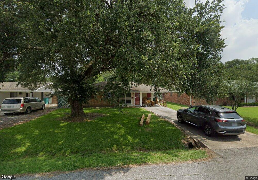
1310 Phillip Ave Eunice, LA 70535
Estimated Value: $82,525 - $130,000
3
Beds
2
Baths
1,000
Sq Ft
$103/Sq Ft
Est. Value
About This Home
This home is located at 1310 Phillip Ave, Eunice, LA 70535 and is currently estimated at $102,842, approximately $102 per square foot. 1310 Phillip Ave is a home located in St. Landry Parish with nearby schools including Eunice Elementary School, Eunice Junior High School, and Central Middle School.
Ownership History
Date
Name
Owned For
Owner Type
Purchase Details
Closed on
Feb 13, 2025
Sold by
Berza Christopher James and Berza Amber Nichole
Bought by
Young Christian
Current Estimated Value
Home Financials for this Owner
Home Financials are based on the most recent Mortgage that was taken out on this home.
Original Mortgage
$125,681
Outstanding Balance
$123,944
Interest Rate
6.91%
Mortgage Type
FHA
Estimated Equity
-$21,102
Purchase Details
Closed on
May 19, 2023
Sold by
Fontenot Charles Daniel and Fontenot Carolyn Carrie
Bought by
Berza Christopher James and Berza Amber Nichole
Purchase Details
Closed on
Mar 29, 2005
Sold by
Fontenot Delta Wayne and Rabalais Diana Gail
Bought by
Fontenot Charles Daniel
Create a Home Valuation Report for This Property
The Home Valuation Report is an in-depth analysis detailing your home's value as well as a comparison with similar homes in the area
Purchase History
| Date | Buyer | Sale Price | Title Company |
|---|---|---|---|
| Young Christian | $128,000 | None Listed On Document | |
| Berza Christopher James | $80,000 | None Listed On Document | |
| Fontenot Charles Daniel | $66,000 | -- |
Source: Public Records
Mortgage History
| Date | Status | Borrower | Loan Amount |
|---|---|---|---|
| Open | Young Christian | $125,681 |
Source: Public Records
Tax History
| Year | Tax Paid | Tax Assessment Tax Assessment Total Assessment is a certain percentage of the fair market value that is determined by local assessors to be the total taxable value of land and additions on the property. | Land | Improvement |
|---|---|---|---|---|
| 2024 | $3 | $7,620 | $1,640 | $5,980 |
| 2023 | $310 | $7,130 | $1,640 | $5,490 |
| 2022 | $310 | $7,130 | $1,640 | $5,490 |
| 2021 | $310 | $7,130 | $1,640 | $5,490 |
| 2020 | $306 | $7,130 | $1,640 | $5,490 |
| 2019 | $278 | $6,390 | $1,210 | $5,180 |
| 2018 | $278 | $6,390 | $1,210 | $5,180 |
| 2017 | $278 | $6,390 | $1,210 | $5,180 |
| 2015 | $248 | $5,730 | $1,200 | $4,530 |
| 2013 | $248 | $5,730 | $1,200 | $4,530 |
Source: Public Records
Map
Nearby Homes
- 1310 Phillip Ave
- 1320 Phillip Ave
- 1300 Phillip Ave
- 1321 Phillip Ave
- 1311 Phillip Ave
- 1331 Phillip Ave
- 1301 Phillip Ave
- 1301 W Maple Ave
- 1260 Phillip Ave
- 1341 Phillip Ave
- 1350 Phillip Ave
- 1261 Phillip Ave
- 1351 Phillip Ave
- 1251 W Maple Ave
- 1341 W Maple Ave
- 1250 Phillip Ave
- 1330 Gregg Ave
- 1360 Phillip Ave
- 1361 Phillip Ave
- 1340 Gregg Ave
Your Personal Tour Guide
Ask me questions while you tour the home.