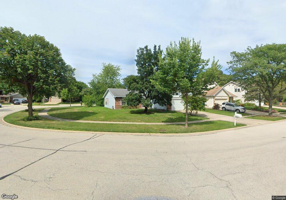
1310 Rose Ct W Buffalo Grove, IL 60089
South Buffalo Grove NeighborhoodEstimated Value: $549,903 - $606,000
4
Beds
3
Baths
2,275
Sq Ft
$255/Sq Ft
Est. Value
About This Home
This home is located at 1310 Rose Ct W, Buffalo Grove, IL 60089 and is currently estimated at $579,976, approximately $254 per square foot. 1310 Rose Ct W is a home located in Cook County with nearby schools including Henry W Longfellow Elementary School, Cooper Middle School, and Buffalo Grove High School.
Ownership History
Date
Name
Owned For
Owner Type
Purchase Details
Closed on
Feb 6, 2018
Sold by
Koester Jeffrey Alan and Koester Diane Denise
Bought by
Koester Jeffrey Alan and Koester Diane Denise
Current Estimated Value
Purchase Details
Closed on
Apr 5, 2017
Sold by
Oberle Francis X and Oberle Kosum
Bought by
Koester Jeffrey A and Koester Diane D
Home Financials for this Owner
Home Financials are based on the most recent Mortgage that was taken out on this home.
Original Mortgage
$260,000
Outstanding Balance
$215,824
Interest Rate
4.12%
Mortgage Type
New Conventional
Estimated Equity
$364,152
Create a Home Valuation Report for This Property
The Home Valuation Report is an in-depth analysis detailing your home's value as well as a comparison with similar homes in the area
Home Values in the Area
Average Home Value in this Area
Purchase History
| Date | Buyer | Sale Price | Title Company |
|---|---|---|---|
| Koester Jeffrey Alan | -- | None Available | |
| Koester Jeffrey A | $325,000 | Jp Title Guaranty Inc |
Source: Public Records
Mortgage History
| Date | Status | Borrower | Loan Amount |
|---|---|---|---|
| Open | Koester Jeffrey A | $260,000 |
Source: Public Records
Tax History Compared to Growth
Tax History
| Year | Tax Paid | Tax Assessment Tax Assessment Total Assessment is a certain percentage of the fair market value that is determined by local assessors to be the total taxable value of land and additions on the property. | Land | Improvement |
|---|---|---|---|---|
| 2024 | $12,162 | $38,001 | $9,444 | $28,557 |
| 2023 | $11,701 | $38,001 | $9,444 | $28,557 |
| 2022 | $11,701 | $38,001 | $9,444 | $28,557 |
| 2021 | $13,020 | $36,854 | $5,365 | $31,489 |
| 2020 | $12,671 | $36,854 | $5,365 | $31,489 |
| 2019 | $12,721 | $41,086 | $5,365 | $35,721 |
| 2018 | $13,460 | $39,085 | $4,721 | $34,364 |
| 2017 | $13,212 | $39,085 | $4,721 | $34,364 |
| 2016 | $9,242 | $39,085 | $4,721 | $34,364 |
| 2015 | $10,502 | $35,494 | $4,077 | $31,417 |
| 2014 | $10,112 | $35,494 | $4,077 | $31,417 |
| 2013 | $8,990 | $35,494 | $4,077 | $31,417 |
Source: Public Records
Map
Nearby Homes
- 715 W Whiting Ln
- 715 W Happfield Dr
- 812 W Whiting Ln
- 751 W Happfield Dr Unit 30
- 811 W Nichols Rd
- 705 Grove Dr Unit 101
- 921 Bernard Dr
- 720 Weidner Rd Unit 302
- 859 Beechwood Rd
- 571 Estate Dr
- 535 Estate Dr
- 813 Stradford Cir Unit 21B2
- 6 Villa Verde Dr Unit 103
- 820 Weidner Rd Unit 4013
- 820 Weidner Rd Unit 409
- 18 E Heritage Ct
- 1631 W Partridge Ct Unit 8
- 3227 N Heritage Ln
- 1115 Miller Ln Unit 104
- 665 Thornwood Dr
- 1308 Rose Ct W
- 1312 Rose Ct W
- 1306 Rose Ct W
- 1324 Rose Ct W
- 1322 Rose Ct W
- 1304 Rose Blvd
- 1314 Rose Ct W
- 1326 Rose Ct W
- 1332 Rose Ct W
- 1334 Rose Ct W
- 1330 Rose Ct W
- 1316 Rose Ct W
- 1336 Rose Blvd
- 1302 Rose Blvd
- 1320 Rose Ct W
- 1328 Rose Ct W
- 1318 Rose Ct W
- 1300 Rose Blvd
- 1338 Rose Blvd
- 503 Cameron Way