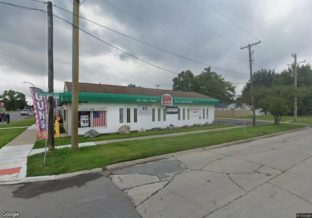
1310 S Wayne Rd Westland, MI 48186
Estimated Value: $314,037
--
Bed
--
Bath
1,500
Sq Ft
$209/Sq Ft
Est. Value
About This Home
This home is located at 1310 S Wayne Rd, Westland, MI 48186 and is currently estimated at $314,037, approximately $209 per square foot. 1310 S Wayne Rd is a home located in Wayne County with nearby schools including Albert Schweitzer Elementary School, Marshall Upper Elementary School, and Adlai Stevenson Middle School.
Ownership History
Date
Name
Owned For
Owner Type
Purchase Details
Closed on
Jan 9, 2020
Sold by
Wong Wah Hung and Wong Tammy Elizabeth
Bought by
Wong Spencer and Wong Justice
Current Estimated Value
Purchase Details
Closed on
Aug 31, 2010
Sold by
Wong Wah H and Wong Tammy E Murphy
Bought by
Morris Patrick D
Purchase Details
Closed on
Oct 3, 2005
Sold by
Koski Real Estate Llc
Bought by
Wong Wah Hung
Purchase Details
Closed on
Nov 26, 2001
Sold by
Koski Kenneth D
Bought by
Koski Real Estate Llc
Purchase Details
Closed on
Sep 29, 2000
Sold by
Woods Edmaund G
Bought by
Koski Kenneth D
Create a Home Valuation Report for This Property
The Home Valuation Report is an in-depth analysis detailing your home's value as well as a comparison with similar homes in the area
Home Values in the Area
Average Home Value in this Area
Purchase History
| Date | Buyer | Sale Price | Title Company |
|---|---|---|---|
| Wong Spencer | -- | Liberty Title | |
| Morris Patrick D | -- | None Available | |
| Wong Wah Hung | $157,500 | None Available | |
| Wong Wah Hung | -- | Stewart Title | |
| Koski Real Estate Llc | -- | -- | |
| Koski Kenneth D | $67,500 | -- |
Source: Public Records
Tax History Compared to Growth
Tax History
| Year | Tax Paid | Tax Assessment Tax Assessment Total Assessment is a certain percentage of the fair market value that is determined by local assessors to be the total taxable value of land and additions on the property. | Land | Improvement |
|---|---|---|---|---|
| 2025 | $3,290 | $61,000 | $0 | $0 |
| 2024 | $3,290 | $59,600 | $0 | $0 |
| 2023 | $3,139 | $53,900 | $0 | $0 |
| 2022 | $3,388 | $51,600 | $0 | $0 |
| 2021 | $3,314 | $49,000 | $0 | $0 |
| 2020 | $2,693 | $48,700 | $0 | $0 |
| 2019 | $3,167 | $48,100 | $0 | $0 |
| 2018 | $2,177 | $46,200 | $0 | $0 |
| 2017 | $1,195 | $44,500 | $0 | $0 |
| 2016 | $3,094 | $38,400 | $0 | $0 |
| 2015 | $3,679 | $37,590 | $0 | $0 |
| 2013 | $3,729 | $38,040 | $0 | $0 |
| 2012 | $2,186 | $38,380 | $0 | $0 |
Source: Public Records
Map
Nearby Homes
- 35236 Glen St
- 35720 Glen St
- 35193 Sansburn St
- 32730 Palmer Rd
- 1811 S Harvey Ave
- 36020 Glen St
- 36293 Monroe Ave
- 1853 S Linville Ave
- 34553 Hazelwood St
- 36231 Hazelwood St
- 1909 S Christine
- 1510 S Crown St
- 36034 Rolf St
- 36323 Monroe Ave
- 1681 Stieber St
- 35130 June Dr
- 1631 Ackley Ave
- 1825 Liddicot Ave
- 2314 S Christine
- 35408 Farragut Ave
- 35445 Hazelwood St
- 35455 Hazelwood St
- 35440 Hazelwood St
- 1333 S Harvey St
- 1311 S Wayne Rd
- 1338 S Wayne Rd
- 1329 S Wayne Rd
- 1250 S Wayne Rd
- 1345 S Harvey St
- 35460 Hazelwood St
- 35460 Hazelwood St Unit 35456
- 35500 Hazelwood St
- 35441 Glen St
- 35331 Hazelwood St
- 1361 S Wayne Rd
- 1357 S Harvey St
- 1357 S Harvey Ave
- 35451 Glen St
- 35509 Hazelwood St
- 35510 Hazelwood St