1310 Silver Point Rd Chapin, SC 29036
Estimated Value: $763,000 - $951,726
4
Beds
5
Baths
3,350
Sq Ft
$258/Sq Ft
Est. Value
About This Home
This home is located at 1310 Silver Point Rd, Chapin, SC 29036 and is currently estimated at $862,932, approximately $257 per square foot. 1310 Silver Point Rd is a home located in Richland County with nearby schools including Lake Murray Elementary School, Chapin Intermediate, and Chapin High School.
Ownership History
Date
Name
Owned For
Owner Type
Purchase Details
Closed on
Nov 13, 2020
Sold by
Drasites Roy R and Drasites Elizabeth P
Bought by
Benson Norbert Wayne and Bryant-Benson Christie Mae
Current Estimated Value
Home Financials for this Owner
Home Financials are based on the most recent Mortgage that was taken out on this home.
Original Mortgage
$300,000
Outstanding Balance
$264,510
Interest Rate
2.8%
Mortgage Type
New Conventional
Estimated Equity
$598,422
Create a Home Valuation Report for This Property
The Home Valuation Report is an in-depth analysis detailing your home's value as well as a comparison with similar homes in the area
Home Values in the Area
Average Home Value in this Area
Purchase History
| Date | Buyer | Sale Price | Title Company |
|---|---|---|---|
| Benson Norbert Wayne | $600,000 | None Listed On Document |
Source: Public Records
Mortgage History
| Date | Status | Borrower | Loan Amount |
|---|---|---|---|
| Open | Benson Norbert Wayne | $300,000 |
Source: Public Records
Tax History
| Year | Tax Paid | Tax Assessment Tax Assessment Total Assessment is a certain percentage of the fair market value that is determined by local assessors to be the total taxable value of land and additions on the property. | Land | Improvement |
|---|---|---|---|---|
| 2024 | $5,068 | $651,200 | $242,000 | $409,200 |
| 2023 | $5,136 | $24,000 | $0 | $0 |
| 2022 | $4,429 | $600,000 | $125,100 | $474,900 |
| 2021 | $4,520 | $24,000 | $0 | $0 |
| 2020 | $3,405 | $16,700 | $0 | $0 |
| 2019 | $3,408 | $16,700 | $0 | $0 |
| 2018 | $2,904 | $15,960 | $0 | $0 |
| 2017 | $2,823 | $15,960 | $0 | $0 |
| 2016 | $2,808 | $15,960 | $0 | $0 |
| 2015 | $2,824 | $15,960 | $0 | $0 |
| 2014 | $2,817 | $398,900 | $0 | $0 |
| 2013 | -- | $15,960 | $0 | $0 |
Source: Public Records
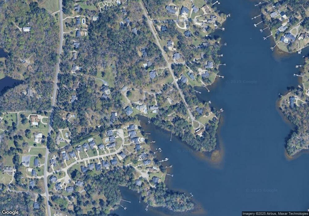
Map
Nearby Homes
- 1304 Silver Point Rd
- 0 Johnson Marina Rd Unit 539063
- 177 Lakeport Dr
- 301 Explorer Dr
- 748 Moonsail Cir
- 226 Wahoo Cir
- 111 Wahoo Cir
- 180 Wahoo Cir
- 280 Wahoo Cir
- 756 Helmsman Ln
- 312 Lanyard Ln
- 371 Explorer Dr
- 233 Jackstay Ct
- 379 Explorer Dr
- 384 Explorer Dr
- 873 Sunseeker Dr
- 869 Sunseeker Dr
- 1 Circle Dr
- 13 East Dr
- 818 Sunseeker Dr
- 1308 Silver Point Rd
- 1312 Silver Point Rd
- 1320 Silver Point Rd
- 1306 Silver Point Rd
- 124 Jasmine Bay Ln
- 122 Jasmine Bay
- 1301 Silver Point Rd
- 120 Jasmine Bay
- 1801 Johnson Marina Rd
- 118 Jasmine Bay Ln
- 1300 Silver Point Rd
- 1319 Silver Point Rd
- 113 Buoy Ln
- 1015 Lighthouse Rd
- 123 Jasmine Bay Ln
- 121 Jasmine Bay Ln
- 1215 Silver Point Rd
- 1729 Johnson Marina Rd
- 1324 Silver Point Rd
- 1212 Silver Point Rd
Your Personal Tour Guide
Ask me questions while you tour the home.