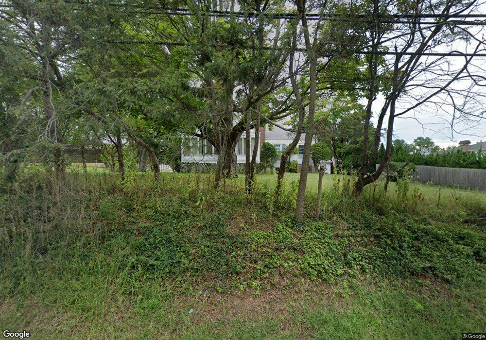
1310 Warren Ave Spring Lake, NJ 07762
Estimated Value: $747,842 - $1,035,000
3
Beds
1
Bath
1,569
Sq Ft
$528/Sq Ft
Est. Value
About This Home
This home is located at 1310 Warren Ave, Spring Lake, NJ 07762 and is currently estimated at $828,211, approximately $527 per square foot. 1310 Warren Ave is a home located in Monmouth County with nearby schools including Wall High School, The Brookside School, and St. Catharine School.
Ownership History
Date
Name
Owned For
Owner Type
Purchase Details
Closed on
Oct 13, 2004
Sold by
Wegner Robert
Bought by
Jennings William and Jennings Kerry
Current Estimated Value
Home Financials for this Owner
Home Financials are based on the most recent Mortgage that was taken out on this home.
Original Mortgage
$140,000
Outstanding Balance
$69,195
Interest Rate
5.74%
Estimated Equity
$759,016
Create a Home Valuation Report for This Property
The Home Valuation Report is an in-depth analysis detailing your home's value as well as a comparison with similar homes in the area
Home Values in the Area
Average Home Value in this Area
Purchase History
| Date | Buyer | Sale Price | Title Company |
|---|---|---|---|
| Jennings William | $435,000 | -- |
Source: Public Records
Mortgage History
| Date | Status | Borrower | Loan Amount |
|---|---|---|---|
| Open | Jennings William | $140,000 |
Source: Public Records
Tax History Compared to Growth
Tax History
| Year | Tax Paid | Tax Assessment Tax Assessment Total Assessment is a certain percentage of the fair market value that is determined by local assessors to be the total taxable value of land and additions on the property. | Land | Improvement |
|---|---|---|---|---|
| 2025 | $9,965 | $465,200 | $331,400 | $133,800 |
| 2024 | $9,718 | $465,200 | $331,400 | $133,800 |
| 2023 | $9,718 | $465,200 | $331,400 | $133,800 |
| 2022 | $9,416 | $465,200 | $331,400 | $133,800 |
| 2021 | $9,416 | $465,200 | $331,400 | $133,800 |
| 2020 | $9,295 | $465,200 | $331,400 | $133,800 |
| 2019 | $9,188 | $465,200 | $331,400 | $133,800 |
| 2018 | $9,085 | $465,200 | $331,400 | $133,800 |
| 2017 | $9,465 | $494,500 | $331,400 | $163,100 |
| 2016 | $9,232 | $494,500 | $331,400 | $163,100 |
| 2015 | $8,398 | $282,100 | $146,400 | $135,700 |
| 2014 | $8,052 | $276,900 | $141,200 | $135,700 |
Source: Public Records
Map
Nearby Homes
- 1301 Warren Ave Unit 5
- 2005 Nassau Dr
- 19 Willow Ln
- 2217 Old Mill Rd
- 24 Old Mill Ct
- 530 Highway 71 Unit 4
- 2419 Kipling Ave
- 817 Ocean Rd
- 613 Warren Ave
- 905 Wall Rd
- 1838 Highway 35 Unit 36
- 805 Jersey Ave
- 513 Mercer Ave
- 12 Wyckham Rd
- 15 Wyckham Rd
- 601 Central Ave
- 418 Monmouth Ave
- 1820 New Jersey 35 Unit 34
- 1820 New Jersey 35 Unit Home Site 26
- 418 Salem Ave
- 1003 Old Mill Rd
- 1005 Old Mill Rd
- 1312 Warren Ave
- 1001 Old Mill Rd
- 1001 Old Mill Rd
- 1316 Warren Ave
- 1301 Warren Ave
- 1301 Warren Ave
- 1301 Warren Ave
- 1301 Warren Ave
- 1301 Warren Ave
- 1301 Warren Ave
- 1301 Warren Ave
- 1301 Warren Ave
- 1301 Warren Ave
- 1301 Warren Ave
- 1301 Warren Ave
- 1301 Warren Ave
- 1301 Warren Ave Unit C12
- 1301 Warren Ave Unit D17