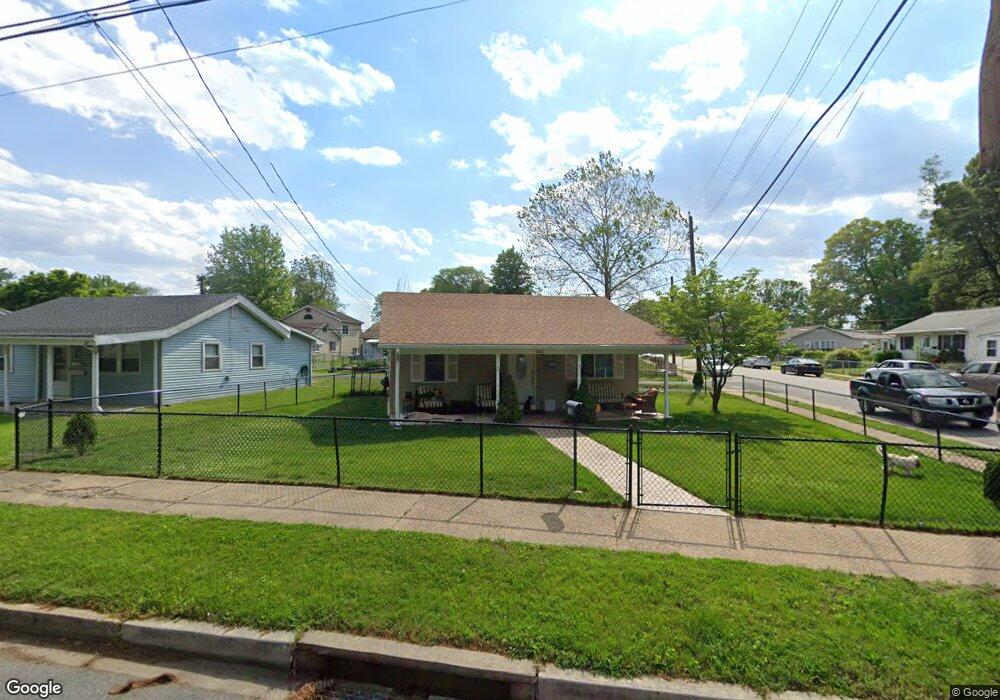
1310 Wilson Point Rd Middle River, MD 21220
Estimated Value: $240,649 - $257,000
--
Bed
1
Bath
976
Sq Ft
$254/Sq Ft
Est. Value
About This Home
This home is located at 1310 Wilson Point Rd, Middle River, MD 21220 and is currently estimated at $247,662, approximately $253 per square foot. 1310 Wilson Point Rd is a home located in Baltimore County with nearby schools including Hawthorne Elementary School, Stemmers Run Middle School, and Kenwood High.
Ownership History
Date
Name
Owned For
Owner Type
Purchase Details
Closed on
Sep 6, 2007
Sold by
Huth Charles J
Bought by
Kennedy Neal B
Current Estimated Value
Home Financials for this Owner
Home Financials are based on the most recent Mortgage that was taken out on this home.
Original Mortgage
$214,900
Outstanding Balance
$161,934
Interest Rate
10.75%
Mortgage Type
Purchase Money Mortgage
Estimated Equity
$85,728
Purchase Details
Closed on
Aug 30, 2007
Sold by
Huth Charles J
Bought by
Kennedy Neal B
Home Financials for this Owner
Home Financials are based on the most recent Mortgage that was taken out on this home.
Original Mortgage
$214,900
Outstanding Balance
$161,934
Interest Rate
10.75%
Mortgage Type
Purchase Money Mortgage
Estimated Equity
$85,728
Purchase Details
Closed on
Nov 9, 2004
Sold by
Huth Charles J
Bought by
Huth Charles J
Create a Home Valuation Report for This Property
The Home Valuation Report is an in-depth analysis detailing your home's value as well as a comparison with similar homes in the area
Home Values in the Area
Average Home Value in this Area
Purchase History
| Date | Buyer | Sale Price | Title Company |
|---|---|---|---|
| Kennedy Neal B | $214,900 | -- | |
| Kennedy Neal B | $214,900 | -- | |
| Huth Charles J | -- | -- |
Source: Public Records
Mortgage History
| Date | Status | Borrower | Loan Amount |
|---|---|---|---|
| Open | Kennedy Neal B | $214,900 | |
| Closed | Kennedy Neal B | $214,900 |
Source: Public Records
Tax History Compared to Growth
Tax History
| Year | Tax Paid | Tax Assessment Tax Assessment Total Assessment is a certain percentage of the fair market value that is determined by local assessors to be the total taxable value of land and additions on the property. | Land | Improvement |
|---|---|---|---|---|
| 2025 | $2,518 | $193,367 | -- | -- |
| 2024 | $2,518 | $176,833 | $0 | $0 |
| 2023 | $1,231 | $160,300 | $59,500 | $100,800 |
| 2022 | $2,384 | $152,800 | $0 | $0 |
| 2021 | $2,326 | $145,300 | $0 | $0 |
| 2020 | $2,326 | $137,800 | $59,500 | $78,300 |
| 2019 | $2,284 | $135,800 | $0 | $0 |
| 2018 | $2,156 | $133,800 | $0 | $0 |
| 2017 | $2,100 | $131,800 | $0 | $0 |
| 2016 | $1,877 | $128,867 | $0 | $0 |
| 2015 | $1,877 | $125,933 | $0 | $0 |
| 2014 | $1,877 | $123,000 | $0 | $0 |
Source: Public Records
Map
Nearby Homes
- 1307 2nd Rd
- 1306 Third Rd
- 1216 2nd Rd
- 34 Dogwood Dr
- 40 Dogwood Dr
- 1432 Shore Rd
- 0 Dogwood Rd Unit MDBC2118428
- 60 Dogwood Dr
- 116 Kingston Park Ln
- 154 Kingston Park Ln
- 84 Kingston Park Ln
- 658 Kingston Rd
- 2222 Graythorn Rd
- 78 W Kingston Park Ln
- 505 Grovethorn Rd
- 349 Dark Head Rd
- 528 Waters Landing Dr
- 203 Oak Ave
- 318 Grovethorn Rd
- 1937 Cape May Rd
- 1312 Wilson Point Rd
- 1308 Wilson Point Rd
- 1314 Wilson Point Rd
- 1312 First Rd
- 1312 1st Rd
- 1310 First Rd
- 1314 1st Rd
- 1314 First Rd
- 1308 First Rd
- 1304 Wilson Point Rd
- 1316 Wilson Point Rd
- 1316 First Rd
- 1306 First Rd
- 1307 Wilson Point Rd
- 1311 2nd Rd
- 1311 Second Rd
- 1313 Second Rd
- 1304 First Rd
- 1318 First Rd
- 1315 Second Rd