13101 Clark St Crown Point, IN 46307
Estimated Value: $762,089 - $862,000
5
Beds
4
Baths
5,528
Sq Ft
$145/Sq Ft
Est. Value
About This Home
This home is located at 13101 Clark St, Crown Point, IN 46307 and is currently estimated at $803,272, approximately $145 per square foot. 13101 Clark St is a home located in Lake County with nearby schools including Lake Street Elementary School, Robert Taft Middle School, and Crown Point High School.
Ownership History
Date
Name
Owned For
Owner Type
Purchase Details
Closed on
Jun 10, 2020
Sold by
Rose Matthew and Wuest Stephanie
Bought by
Randall James A and Randall Michelle L
Current Estimated Value
Home Financials for this Owner
Home Financials are based on the most recent Mortgage that was taken out on this home.
Original Mortgage
$337,500
Outstanding Balance
$299,168
Interest Rate
3.2%
Mortgage Type
New Conventional
Estimated Equity
$504,104
Purchase Details
Closed on
Apr 7, 2015
Sold by
Bunde Edward G and Bunde Kari J
Bought by
Rose Matthew and Wuest Stephanie
Home Financials for this Owner
Home Financials are based on the most recent Mortgage that was taken out on this home.
Original Mortgage
$375,300
Interest Rate
3.85%
Mortgage Type
New Conventional
Create a Home Valuation Report for This Property
The Home Valuation Report is an in-depth analysis detailing your home's value as well as a comparison with similar homes in the area
Home Values in the Area
Average Home Value in this Area
Purchase History
| Date | Buyer | Sale Price | Title Company |
|---|---|---|---|
| Randall James A | -- | Chicago Title Insurance Co | |
| Rose Matthew | -- | Community Title Co |
Source: Public Records
Mortgage History
| Date | Status | Borrower | Loan Amount |
|---|---|---|---|
| Open | Randall James A | $337,500 | |
| Previous Owner | Rose Matthew | $375,300 |
Source: Public Records
Tax History Compared to Growth
Tax History
| Year | Tax Paid | Tax Assessment Tax Assessment Total Assessment is a certain percentage of the fair market value that is determined by local assessors to be the total taxable value of land and additions on the property. | Land | Improvement |
|---|---|---|---|---|
| 2024 | $11,799 | $613,400 | $80,000 | $533,400 |
| 2023 | $5,703 | $555,200 | $80,000 | $475,200 |
| 2022 | $5,703 | $506,400 | $80,000 | $426,400 |
| 2021 | $5,014 | $470,200 | $79,000 | $391,200 |
| 2020 | $5,320 | $472,400 | $79,000 | $393,400 |
| 2019 | $4,800 | $424,100 | $79,000 | $345,100 |
| 2018 | $4,960 | $473,400 | $79,000 | $394,400 |
| 2017 | $8,594 | $422,000 | $79,000 | $343,000 |
| 2016 | $8,610 | $420,100 | $79,000 | $341,100 |
| 2014 | $4,917 | $425,300 | $79,000 | $346,300 |
| 2013 | -- | $429,200 | $79,000 | $350,200 |
Source: Public Records
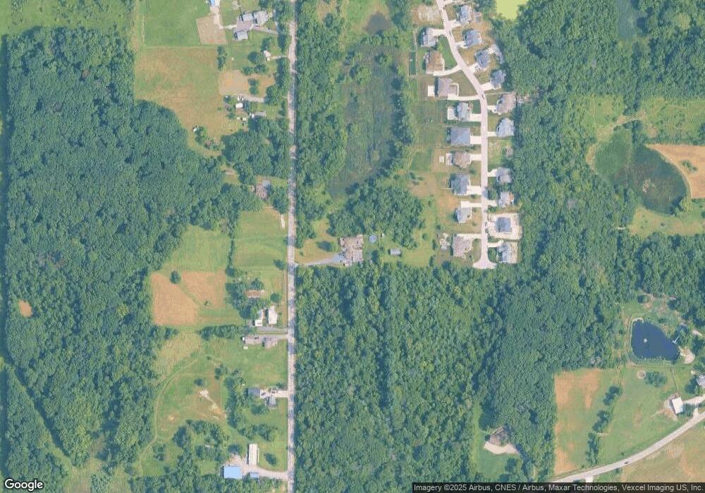
Map
Nearby Homes
- 12860 Baker Ct
- 4422 W 133rd Ave
- 12812 Whitcomb St
- 12715 Cedar Lake Rd
- 12201 Cedar Lake Rd
- 834 Copper Creek Dr
- 3721 W 133rd Ave
- The Quinn Plan at Lakeside
- The Huntley Plan at Lakeside
- The Cole Plan at Lakeside
- The Asher Plan at Lakeside
- The Dover Plan at Lakeside
- The Lester Plan at Lakeside
- The Kade Plan at Lakeside
- The Nicholas Plan at Lakeside
- 13417 Lakeside Blvd
- The Sadie Plan at Lakeside
- The Shelly Plan at Lakeside
- The Brooks Plan at Lakeside
- The Sawyer Plan at Lakeside