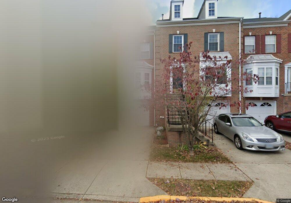
13104 Ashnut Ln Herndon, VA 20171
Estimated Value: $612,690 - $644,000
3
Beds
4
Baths
1,684
Sq Ft
$373/Sq Ft
Est. Value
About This Home
This home is located at 13104 Ashnut Ln, Herndon, VA 20171 and is currently estimated at $627,673, approximately $372 per square foot. 13104 Ashnut Ln is a home located in Fairfax County with nearby schools including Mcnair Elementary School, McNair Upper Elementary School, and Rachel Carson Middle School.
Ownership History
Date
Name
Owned For
Owner Type
Purchase Details
Closed on
Jul 19, 1999
Sold by
Garbe Suzie Lockhart
Bought by
Ghafouri Fatemeh and Ghafouri,Karim
Current Estimated Value
Home Financials for this Owner
Home Financials are based on the most recent Mortgage that was taken out on this home.
Original Mortgage
$140,720
Outstanding Balance
$39,199
Interest Rate
7.49%
Estimated Equity
$588,474
Purchase Details
Closed on
Jan 10, 1994
Sold by
Rivermead Homes Inc
Bought by
Lockhart Suzie A
Home Financials for this Owner
Home Financials are based on the most recent Mortgage that was taken out on this home.
Original Mortgage
$149,900
Interest Rate
7.23%
Create a Home Valuation Report for This Property
The Home Valuation Report is an in-depth analysis detailing your home's value as well as a comparison with similar homes in the area
Home Values in the Area
Average Home Value in this Area
Purchase History
| Date | Buyer | Sale Price | Title Company |
|---|---|---|---|
| Ghafouri Fatemeh | $175,900 | -- | |
| Lockhart Suzie A | $187,400 | -- |
Source: Public Records
Mortgage History
| Date | Status | Borrower | Loan Amount |
|---|---|---|---|
| Open | Ghafouri Fatemeh | $140,720 | |
| Previous Owner | Lockhart Suzie A | $149,900 |
Source: Public Records
Tax History
| Year | Tax Paid | Tax Assessment Tax Assessment Total Assessment is a certain percentage of the fair market value that is determined by local assessors to be the total taxable value of land and additions on the property. | Land | Improvement |
|---|---|---|---|---|
| 2025 | $6,424 | $576,500 | $180,000 | $396,500 |
| 2024 | $6,424 | $554,490 | $170,000 | $384,490 |
| 2023 | $6,078 | $538,560 | $170,000 | $368,560 |
| 2022 | $5,743 | $502,270 | $155,000 | $347,270 |
| 2021 | $5,462 | $465,420 | $135,000 | $330,420 |
| 2020 | $5,457 | $461,060 | $135,000 | $326,060 |
| 2019 | $5,387 | $455,180 | $135,000 | $320,180 |
| 2018 | $4,914 | $427,290 | $115,000 | $312,290 |
| 2017 | $4,836 | $416,570 | $110,000 | $306,570 |
| 2016 | $4,289 | $422,040 | $110,000 | $312,040 |
Source: Public Records
Map
Nearby Homes
- 2526 James Monroe Cir
- 2587 James Madison Cir
- 13040 Cabin Creek Rd Unit 13040
- 13480 Stanton Place
- 2448 Leyland Ridge Rd
- 13103 Anvil Place
- 2460 Leyland Ridge Rd
- 3499 Audubon Cove
- 3495 Audubon Cove
- 2428 Corn Crib Ct
- 2495 Angeline Dr Unit 303
- 12905 Centre Park Cir Unit 212
- 12909 Centre Park Cir Unit 102
- 12917 Centre Park Cir Unit 217
- 12917 Centre Park Cir Unit 315
- 13010 Hattontown Square
- 12913 Centre Park Cir Unit 102
- 13007 Hattontown Square
- 12956 Centre Park Cir Unit 110
- 13039 Hattontown Square
- 13106 Ashnut Ln
- 13102 Ashnut Ln
- 13108 Ashnut Ln
- 13100 Ashnut Ln
- 13110 Ashnut Ln
- 13112 Ashnut Ln
- 13105 Ashnut Ln
- 13103 Ashnut Ln
- 13107 Ashnut Ln
- 13109 Ashnut Ln
- 13101 Ashnut Ln
- 13111 Ashnut Ln
- 13114 Ashnut Ln
- 13113 Ashnut Ln
- 13115 Ashnut Ln
- 2409 Fieldcreek Dr
- 2407 Fieldcreek Dr
- 2411 Fieldcreek Dr
- 2405 Fieldcreek Dr
- 13118 Ashnut Ln
Your Personal Tour Guide
Ask me questions while you tour the home.