Estimated Value: $246,367 - $299,000
2
Beds
2
Baths
1,374
Sq Ft
$192/Sq Ft
Est. Value
About This Home
This home is located at 13107 Bunker Ct Unit 40, Clio, MI 48420 and is currently estimated at $263,342, approximately $191 per square foot. 13107 Bunker Ct Unit 40 is a home located in Genesee County with nearby schools including George R. Carter Middle School and Clio Area High School.
Ownership History
Date
Name
Owned For
Owner Type
Purchase Details
Closed on
Jul 29, 2022
Sold by
Michael Nasalski
Bought by
Nasalski Michael and Nasalski Diane I
Current Estimated Value
Purchase Details
Closed on
Jul 12, 2019
Sold by
Abaid Stephen A and Sutton Lori J
Bought by
Nasalski Michael
Purchase Details
Closed on
Nov 18, 2014
Sold by
Schoeppach Marjorie I and Allen Luella M
Bought by
Abaid Stephen A
Purchase Details
Closed on
Oct 22, 2002
Sold by
Allen Luella M
Bought by
Allen Luella M and Schoeppach Marjorie I
Purchase Details
Closed on
Jun 18, 2001
Sold by
Smith Mildred B
Bought by
Smith Mildred B and Revocable Trust Agreement Of Mildred B S
Create a Home Valuation Report for This Property
The Home Valuation Report is an in-depth analysis detailing your home's value as well as a comparison with similar homes in the area
Home Values in the Area
Average Home Value in this Area
Purchase History
| Date | Buyer | Sale Price | Title Company |
|---|---|---|---|
| Nasalski Michael | -- | None Listed On Document | |
| Nasalski Michael | $185,000 | Sargents Title Company Llc | |
| Abaid Stephen A | $153,000 | Sargents Title Company | |
| Allen Luella M | -- | Cislo Title Company | |
| Allen Luella M | $156,500 | Cislo Title Company | |
| Smith Mildred B | -- | -- |
Source: Public Records
Tax History Compared to Growth
Tax History
| Year | Tax Paid | Tax Assessment Tax Assessment Total Assessment is a certain percentage of the fair market value that is determined by local assessors to be the total taxable value of land and additions on the property. | Land | Improvement |
|---|---|---|---|---|
| 2025 | $3,239 | $105,600 | $0 | $0 |
| 2024 | $1,402 | $104,900 | $0 | $0 |
| 2023 | $1,338 | $100,700 | $0 | $0 |
| 2022 | $2,897 | $88,300 | $0 | $0 |
| 2021 | $2,860 | $83,200 | $0 | $0 |
| 2020 | $1,224 | $78,400 | $0 | $0 |
| 2019 | $1,003 | $74,500 | $0 | $0 |
| 2018 | $2,236 | $70,700 | $0 | $0 |
| 2017 | $2,131 | $70,700 | $0 | $0 |
| 2016 | $2,113 | $66,300 | $0 | $0 |
| 2015 | $2,094 | $65,300 | $0 | $0 |
| 2012 | -- | $55,600 | $55,600 | $0 |
Source: Public Records
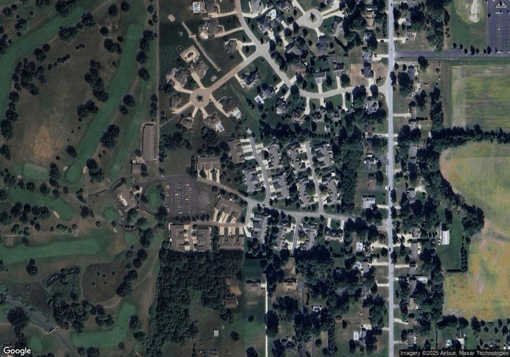
Map
Nearby Homes
- 5217 Old Barn Ln
- 13060 Country Club Dr
- 5171 Field Rd
- V/L Field Rd
- 4042 W Farrand Rd
- 4193 W Lake Rd
- 00 W Vienna Rd
- 3338 Field Rd
- Lot D N Linden Rd
- 11290 N Linden Rd
- 14519 N Linden Rd
- 4093 Libbie Dr
- 11275 Grand Oaks Dr
- 11461 Hidden Oaks Dr Unit 11
- 11457 Hidden Oaks Dr Unit 12
- 11453 Hidden Oaks Dr
- 11449 Hidden Oaks Dr
- 11441 Hidden Oaks Dr Unit 8
- 11402 Hidden Oaks Dr Unit 41
- 11269 N Jennings Rd
- 13099 Bunker Ct
- 13103 Bunker Ct
- 13111 Bunker Ct Unit 39
- 13119 Bunker Ct
- 13123 Bunker Ct Unit 37
- 13110 Bunker Ct
- 13090 Bunker Ct Unit 30
- 13114 Bunker Ct
- 13094 Bunker Ct
- 13094 Bunker Ct Unit 29
- 13127 Bunker Ct
- 13118 Bunker Ct Unit 33
- 13098 Bunker Ct Unit 28
- 13086 Golfside Ct Unit 63
- 13082 Golfside Ct Unit 64
- 5110 Persimmon Trail
- 13078 Golfside Ct Unit 65
- 13131 Bunker Ct Unit 35
- 13122 Bunker Ct Unit 34
- 13102 Bunker Ct