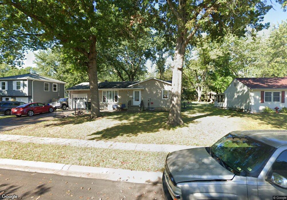
13108 Ashland Ave Grandview, MO 64030
Estimated Value: $189,975 - $214,000
3
Beds
2
Baths
960
Sq Ft
$209/Sq Ft
Est. Value
About This Home
This home is located at 13108 Ashland Ave, Grandview, MO 64030 and is currently estimated at $200,744, approximately $209 per square foot. 13108 Ashland Ave is a home located in Jackson County with nearby schools including Meadowmere Elementary School, Grandview Middle, and Grandview High School.
Ownership History
Date
Name
Owned For
Owner Type
Purchase Details
Closed on
Mar 13, 2006
Sold by
Fami Moreau Mary K
Bought by
Long Lonnie G and Long Robin J
Current Estimated Value
Home Financials for this Owner
Home Financials are based on the most recent Mortgage that was taken out on this home.
Original Mortgage
$64,000
Outstanding Balance
$36,213
Interest Rate
6.19%
Mortgage Type
Fannie Mae Freddie Mac
Estimated Equity
$164,531
Create a Home Valuation Report for This Property
The Home Valuation Report is an in-depth analysis detailing your home's value as well as a comparison with similar homes in the area
Home Values in the Area
Average Home Value in this Area
Purchase History
| Date | Buyer | Sale Price | Title Company |
|---|---|---|---|
| Long Lonnie G | -- | Commonwealth Land Title Insu |
Source: Public Records
Mortgage History
| Date | Status | Borrower | Loan Amount |
|---|---|---|---|
| Open | Long Lonnie G | $64,000 |
Source: Public Records
Tax History Compared to Growth
Tax History
| Year | Tax Paid | Tax Assessment Tax Assessment Total Assessment is a certain percentage of the fair market value that is determined by local assessors to be the total taxable value of land and additions on the property. | Land | Improvement |
|---|---|---|---|---|
| 2025 | $1,723 | $21,609 | $5,833 | $15,776 |
| 2024 | $1,693 | $21,183 | $4,972 | $16,211 |
| 2023 | $1,693 | $21,183 | $4,811 | $16,372 |
| 2022 | $1,403 | $16,340 | $3,126 | $13,214 |
| 2021 | $1,402 | $16,340 | $3,126 | $13,214 |
| 2020 | $1,180 | $14,572 | $3,126 | $11,446 |
| 2019 | $1,138 | $14,572 | $3,126 | $11,446 |
| 2018 | $1,065 | $12,682 | $2,720 | $9,962 |
| 2017 | $1,065 | $12,682 | $2,720 | $9,962 |
| 2016 | $1,060 | $12,364 | $3,020 | $9,344 |
| 2014 | $1,054 | $12,122 | $2,961 | $9,161 |
Source: Public Records
Map
Nearby Homes
- 13113 Sycamore Ave
- 13304 Donnelly Ave
- 8003 E 130th Ct
- 7905 High Grove Rd
- 8222 E 133rd Terrace
- 12943 Sycamore Ave
- 13327 Donnelly Ave
- 13205 Overhill Rd
- 13300 Palmer Ave
- 7505 E 132nd Terrace
- 12904 Overhill Ave
- 12809 Overhill Ave
- 13006 Byars Rd
- 7205 E 131st St
- 7310 High Grove Rd
- 12629 Sycamore Ave
- 13400 Oakland Ave
- 7114 E 132nd St
- 7201 E 130th Terrace
- 12718 Oakland Ave
- 13112 Ashland Ave
- 13104 Ashland Ave
- 13107 Ashland Ave
- 13111 Ashland Ave
- 13116 Ashland Ave
- 13103 Ashland Ave
- 13115 Ashland Ave
- 13107 Herrick Ave
- 13105 Herrick Ave
- 13101 Ashland Ave
- 13117 Ashland Ave
- 13111 Herrick Ave
- 13120 Ashland Ave
- 13101 Herrick Ave
- 13113 Herrick Ave
- 13121 Ashland Ave
- 13110 Donnelly Ave
- 13122 Ashland Ave
- 13116 Donnelly Ave
- 13106 Donnelly Ave