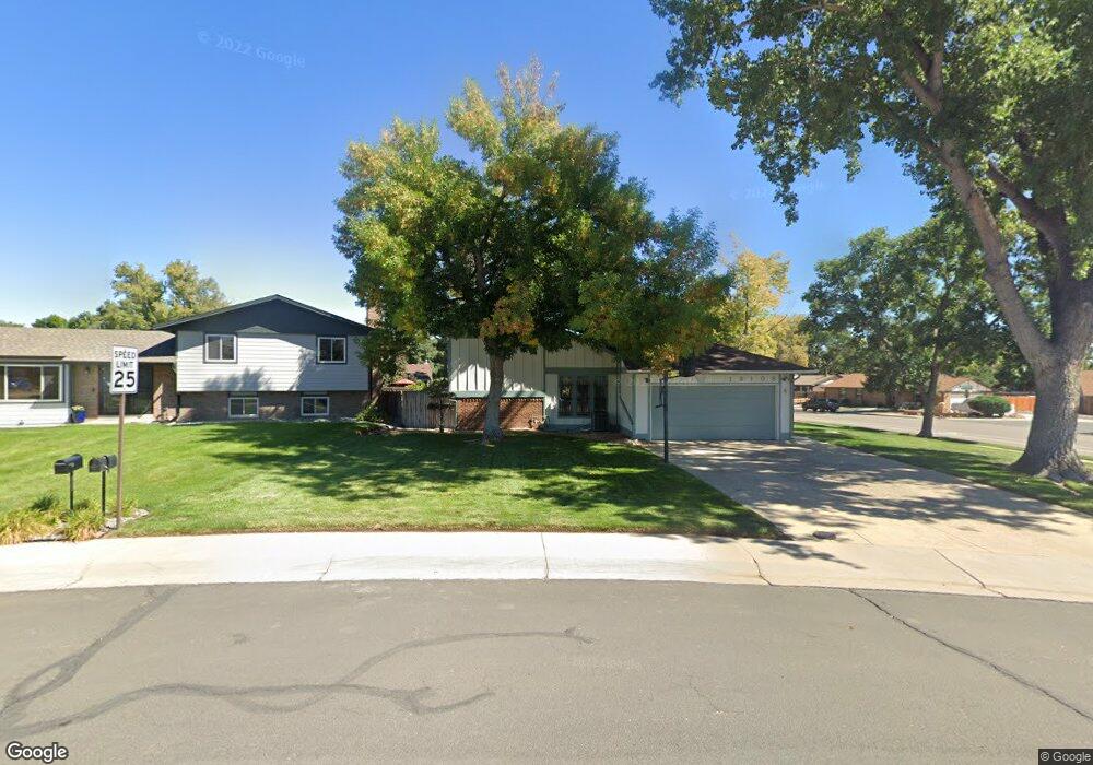
13108 Cook Ct Thornton, CO 80241
Estimated Value: $488,000 - $566,000
3
Beds
3
Baths
1,915
Sq Ft
$274/Sq Ft
Est. Value
About This Home
This home is located at 13108 Cook Ct, Thornton, CO 80241 and is currently estimated at $524,987, approximately $274 per square foot. 13108 Cook Ct is a home located in Adams County with nearby schools including Tarver Elementary School, Century Middle School, and Horizon High School.
Ownership History
Date
Name
Owned For
Owner Type
Purchase Details
Closed on
Jun 17, 1994
Sold by
Wallace James E and Wallace Kay E
Bought by
Velasquez Robert G and Velasquez Katherine M
Current Estimated Value
Home Financials for this Owner
Home Financials are based on the most recent Mortgage that was taken out on this home.
Original Mortgage
$128,150
Interest Rate
8.75%
Purchase Details
Closed on
Apr 22, 1993
Create a Home Valuation Report for This Property
The Home Valuation Report is an in-depth analysis detailing your home's value as well as a comparison with similar homes in the area
Home Values in the Area
Average Home Value in this Area
Purchase History
| Date | Buyer | Sale Price | Title Company |
|---|---|---|---|
| Velasquez Robert G | $134,900 | Land Title | |
| -- | $118,000 | -- |
Source: Public Records
Mortgage History
| Date | Status | Borrower | Loan Amount |
|---|---|---|---|
| Closed | Velasquez Robert G | $128,150 |
Source: Public Records
Tax History Compared to Growth
Tax History
| Year | Tax Paid | Tax Assessment Tax Assessment Total Assessment is a certain percentage of the fair market value that is determined by local assessors to be the total taxable value of land and additions on the property. | Land | Improvement |
|---|---|---|---|---|
| 2024 | $2,773 | $32,060 | $6,560 | $25,500 |
| 2023 | $2,746 | $37,280 | $6,770 | $30,510 |
| 2022 | $2,025 | $25,330 | $6,460 | $18,870 |
| 2021 | $2,883 | $25,330 | $6,460 | $18,870 |
| 2020 | $2,532 | $22,700 | $6,650 | $16,050 |
| 2019 | $2,538 | $22,700 | $6,650 | $16,050 |
| 2018 | $2,365 | $20,550 | $7,490 | $13,060 |
| 2017 | $2,150 | $20,550 | $7,490 | $13,060 |
| 2016 | $1,958 | $18,220 | $3,660 | $14,560 |
| 2015 | $1,955 | $18,220 | $3,660 | $14,560 |
| 2014 | $1,813 | $16,420 | $3,420 | $13,000 |
Source: Public Records
Map
Nearby Homes
- 13080 Harrison Dr
- 12814 Jackson Cir
- 13064 Harrison Dr
- 13068 Harrison Dr
- 3850 E 128th Way
- 2691 E 132nd Ave
- 2788 E 132nd Cir
- 4061 E 133rd Cir
- 2746 E 132nd Place
- 3802 E 127th Ln
- 13540 Detroit St
- 13022 Bellaire St
- 12711 Colorado Blvd Unit 914
- 12711 Colorado Blvd Unit 617F
- 12672 Madison Ct
- 12865 Clermont St
- 13263 Clermont Cir
- 12625 Madison Way
- 12943 Dexter Way
- 12604 Madison Way
- 13118 Cook Ct
- 13115 Monroe Ct
- 13093 Dyanna Dr
- 13125 Monroe Ct
- 13128 Cook Ct
- 13098 Dyanna Dr
- 13103 Cook Ct
- 13135 Monroe Ct
- 13088 Dyanna Dr
- 13083 Dyanna Dr
- 13138 Cook Ct
- 13095 Monroe Dr
- 13166 Saint Paul Dr
- 13145 Monroe Ct
- 13164 Saint Paul Dr
- 13078 Dyanna Dr
- 13085 Monroe Dr
- 13143 Cook Ct
- 13073 Dyanna Dr
- 13132 Monroe Ct