13108 Wolf Ridge Rd Moss Point, MS 39562
Estimated Value: $99,302 - $192,000
About This Home
This home is located at 13108 Wolf Ridge Rd, Moss Point, MS 39562 and is currently estimated at $151,576, approximately $156 per square foot. 13108 Wolf Ridge Rd is a home located in Jackson County with nearby schools including East Central Lower Elementary School, East Central Upper Elementary School, and East Central Middle School.
Ownership History
We collect this data history from publicly available records. To have your information removed, we recommend requesting removal directly through your county’s website.
Purchase Details
Purchase Details
Purchase Details
Purchase History
We collect this data history from publicly available records. To have your information removed, we recommend requesting removal directly through your county’s website.
| Date | Buyer | Sale Price | Title Company |
|---|---|---|---|
| -- | Pilger Title | ||
| -- | Pilger Title | ||
| -- | Pilger Title | ||
| -- | None Listed On Document | ||
| -- | None Available |
Tax History
We collect this data history from publicly available records. To have your information removed, we recommend requesting removal directly through your county’s website.
| Year | Tax Paid | Tax Assessment Tax Assessment Total Assessment is a certain percentage of the fair market value that is determined by local assessors to be the total taxable value of land and additions on the property. | Land | Improvement |
|---|---|---|---|---|
| 2025 | -- | $1,886 | $726 | $1,160 |
| 2024 | -- | $1,747 | $707 | $1,040 |
| 2023 | $0 | $1,747 | $707 | $1,040 |
| 2022 | $0 | $1,677 | $0 | $0 |
| 2021 | $0 | $1,677 | $1,677 | $0 |
| 2020 | $0 | $1,677 | $642 | $1,035 |
| 2019 | $312 | $1,746 | $642 | $1,104 |
| 2018 | $0 | $1,746 | $642 | $1,104 |
| 2017 | $312 | $1,746 | $642 | $1,104 |
| 2016 | $312 | $2,619 | $963 | $1,656 |
| 2015 | $284 | $15,840 | $6,420 | $9,420 |
| 2014 | $304 | $2,589 | $963 | $1,626 |
| 2013 | $294 | $2,589 | $963 | $1,626 |
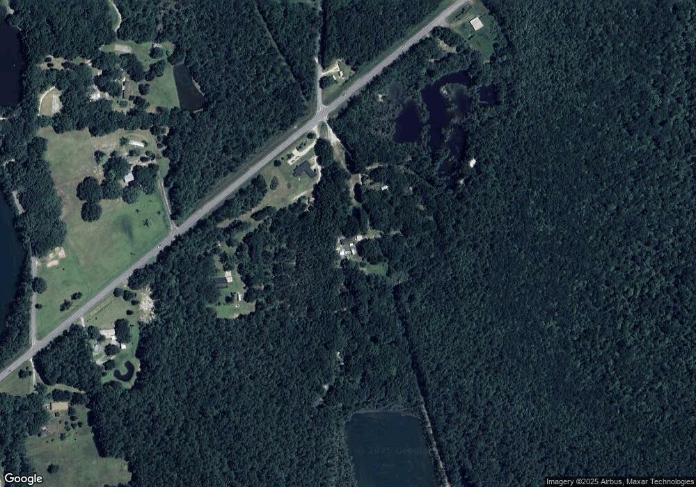
Map
- 13704 Coleman St
- 0 Perry St
- 14200 Timber Ridge Dr
- 6312 Bond Hill Rd
- 12601 Berkley Rd
- 3601 Sandy Bayou Rd
- 0 Wildwood Rd
- 10312 Dawnview Way
- 0 Ms-613 Hwy Unit 4107607
- 0 Ms-613 Hwy Unit 4107612
- 5501 Wildwood Rd
- 10100 Echo Glen Dr
- 3016 Ed Parker Rd
- 3225 Riverbend Rd
- 10 Ac Donniebrook Ln
- 0 Hwy 63 Unit 4150622
- 0 Donniebrook Ln
- 13915 Ann Rd
- 0 Mississippi 613
- 10408 Riverbend Dr
- 13100 Wolf Ridge Rd
- 13120 Wolf Ridge Rd
- 13220 Highway 613
- 13116 Highway 613
- 13304 Wolf Ridge Rd
- 13001 Wolf Ridge Rd
- 13308 Highway 613
- 13113 Highway 613
- 13316 Highway 613
- 13405 Wolf Ridge Rd
- 13300 Cronier Cemetery Rd
- 13025 Highway 613
- 13016 Highway 613
- 13485 Wolf Ridge Rd
- 0 Wolfridge Rd Unit 3212266
- 0 Wolfridge Rd Unit 3301840
- 0 Hwy 613 9 75 Acres Unit 3358982
- 13505 Wolf Ridge Rd
- 13316 Cronier Cemetery Rd
- 13309 Cronier Cemetery Rd
Ask me questions while you tour the home.