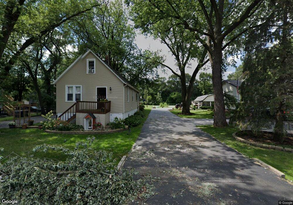
1311 174th St East Hazel Crest, IL 60429
Estimated Value: $137,000 - $174,000
3
Beds
1
Bath
1,185
Sq Ft
$138/Sq Ft
Est. Value
About This Home
This home is located at 1311 174th St, East Hazel Crest, IL 60429 and is currently estimated at $163,708, approximately $138 per square foot. 1311 174th St is a home located in Cook County with nearby schools including Thornwood High School.
Ownership History
Date
Name
Owned For
Owner Type
Purchase Details
Closed on
Oct 20, 2020
Sold by
Sanchez Roberto
Bought by
Sanchez Roberto and Pucheta Maria
Current Estimated Value
Purchase Details
Closed on
Mar 19, 2004
Sold by
Mosher Rodney D and Mosher Vicky L
Bought by
Sanchez Roberto and Sanchez Ana
Home Financials for this Owner
Home Financials are based on the most recent Mortgage that was taken out on this home.
Original Mortgage
$111,254
Outstanding Balance
$51,922
Interest Rate
5.65%
Mortgage Type
FHA
Estimated Equity
$111,786
Create a Home Valuation Report for This Property
The Home Valuation Report is an in-depth analysis detailing your home's value as well as a comparison with similar homes in the area
Home Values in the Area
Average Home Value in this Area
Purchase History
| Date | Buyer | Sale Price | Title Company |
|---|---|---|---|
| Sanchez Roberto | -- | Fidelity National Title | |
| Sanchez Roberto | $113,000 | Professional National Title |
Source: Public Records
Mortgage History
| Date | Status | Borrower | Loan Amount |
|---|---|---|---|
| Open | Sanchez Roberto | $111,254 |
Source: Public Records
Tax History Compared to Growth
Tax History
| Year | Tax Paid | Tax Assessment Tax Assessment Total Assessment is a certain percentage of the fair market value that is determined by local assessors to be the total taxable value of land and additions on the property. | Land | Improvement |
|---|---|---|---|---|
| 2024 | $2,903 | $8,900 | $4,023 | $4,877 |
| 2023 | $2,857 | $8,900 | $4,023 | $4,877 |
| 2022 | $2,857 | $7,811 | $3,576 | $4,235 |
| 2021 | $2,862 | $7,811 | $3,576 | $4,235 |
| 2020 | $2,885 | $7,811 | $3,576 | $4,235 |
| 2019 | $2,848 | $8,192 | $3,129 | $5,063 |
| 2018 | $2,813 | $8,192 | $3,129 | $5,063 |
| 2017 | $2,863 | $8,192 | $3,129 | $5,063 |
| 2016 | $2,802 | $7,491 | $2,682 | $4,809 |
| 2015 | $2,642 | $7,491 | $2,682 | $4,809 |
| 2014 | $2,620 | $7,491 | $2,682 | $4,809 |
| 2013 | $3,163 | $9,069 | $2,682 | $6,387 |
Source: Public Records
Map
Nearby Homes
- 17406 Throop St
- 1314 174th St
- 1321 172nd St
- 17231 Laflin Ave
- 1409 172nd St
- 1100 173rd St
- 1411 172nd St
- 1514 173rd St
- 17304 Lathrop Ave
- 1113 171st St
- 1001 172nd St
- 1025 171st St
- 18000 Armitage Ct
- 1725 Cedar Rd
- 1624 Burr Oak Rd
- 17212 Hawthorne Dr
- 1525 Burr Oak Rd
- 1621 Burr Oak Rd
- 17222 Country Ln
- 1214 Ridge Rd
- 1307 174th St
- 1329 174th St
- 1315 174th St
- 17402 Throop St
- 1306 174th St
- 1321 174th St
- 17330 Throop St
- 17410 Throop St
- 1310 174th St
- 17328 Throop St
- 17416 Throop St
- 1320 174th St
- 17403 Loomis Ave
- 17326 Throop St
- 17420 Throop St
- 1328 174th St
- 1227 174th St
- 17407 Throop St
- 17407 Loomis Ave
- 1310 175th St