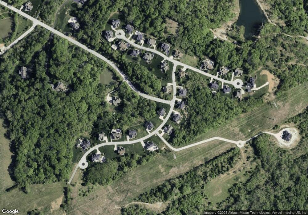
1311 Homestead Heights Dr Chesterfield, MO 63005
Estimated Value: $914,000 - $1,177,000
4
Beds
4
Baths
3,903
Sq Ft
$256/Sq Ft
Est. Value
About This Home
This home is located at 1311 Homestead Heights Dr, Chesterfield, MO 63005 and is currently estimated at $997,978, approximately $255 per square foot. 1311 Homestead Heights Dr is a home located in St. Louis County with nearby schools including Babler Elementary School, Rockwood Valley Middle School, and Lafayette High School.
Ownership History
Date
Name
Owned For
Owner Type
Purchase Details
Closed on
Oct 26, 2018
Sold by
Mcbride Homestead Estates Llc
Bought by
Mccoy Mark
Current Estimated Value
Home Financials for this Owner
Home Financials are based on the most recent Mortgage that was taken out on this home.
Original Mortgage
$476,937
Outstanding Balance
$416,802
Interest Rate
4.6%
Mortgage Type
New Conventional
Estimated Equity
$581,176
Create a Home Valuation Report for This Property
The Home Valuation Report is an in-depth analysis detailing your home's value as well as a comparison with similar homes in the area
Home Values in the Area
Average Home Value in this Area
Purchase History
| Date | Buyer | Sale Price | Title Company |
|---|---|---|---|
| Mccoy Mark | -- | Title Partners Agency Llc |
Source: Public Records
Mortgage History
| Date | Status | Borrower | Loan Amount |
|---|---|---|---|
| Open | Mccoy Mark | $476,937 |
Source: Public Records
Tax History Compared to Growth
Tax History
| Year | Tax Paid | Tax Assessment Tax Assessment Total Assessment is a certain percentage of the fair market value that is determined by local assessors to be the total taxable value of land and additions on the property. | Land | Improvement |
|---|---|---|---|---|
| 2025 | $9,241 | $166,860 | $57,020 | $109,840 |
| 2024 | $9,241 | $134,830 | $33,270 | $101,560 |
| 2023 | $9,233 | $134,830 | $33,270 | $101,560 |
| 2022 | $8,747 | $118,600 | $33,270 | $85,330 |
| 2021 | $8,683 | $118,600 | $33,270 | $85,330 |
| 2020 | $9,047 | $117,800 | $20,900 | $96,900 |
| 2019 | $9,084 | $117,800 | $20,900 | $96,900 |
| 2018 | $1,662 | $20,330 | $20,330 | $0 |
| 2017 | $1,895 | $23,750 | $23,750 | $0 |
| 2016 | $1,970 | $23,750 | $23,750 | $0 |
| 2015 | $1,954 | $23,750 | $23,750 | $0 |
| 2014 | $1,547 | $18,340 | $18,340 | $0 |
Source: Public Records
Map
Nearby Homes
- 1500 Summit On Pond Ln
- 1413 Mayapple Trail
- 1849 Shiloh Valley Dr
- 1336 Pond Rd
- 1709 Rieger Farms Rd
- 1519 Scofield Valley Ln
- 2550 Pond Rd
- 17946 Paradise Dr
- 1925 Wild Horse Creek Rd
- 2400 Pond Rd
- 1021 Highway 109
- 19217 Falzone Rd
- 1426 Wellington View Ln
- 1315 Coach View Ln
- 910 Old Eatherton Rd
- 16928 Kingstowne Place Dr
- 524 Dartmouth Crossing Dr
- 17662 Garden Ridge Cir
- 1423 Westhampton View Ln
- 17833 Suzanne Ridge Dr
- 1335 Homestead Heights Dr
- 1335 Homestead Heights Dr Unit TBB
- 0 Lot 17 Homestead Estates Unit 13001566
- 1307 Homestead Heights Dr
- 1339 Homestead Heights Dr
- 1312 Homestead Heights Dr
- 1316 Homestead Heights Dr
- 1308 Homestead Heights Dr
- 17922 Homestead Bluffs Dr
- 18006 Homestead Manor Dr
- 1304 Homestead Heights Dr
- 1343 Homestead Heights Dr
- 1336 Homestead Heights Dr
- 1300 Homestead Heights Dr
- 17930 Homestead Bluffs Dr
- 17921 Homestead Bluffs Dr
- 17934 Homestead Bluffs Dr
- 1347 Homestead Heights Dr
- 1340 Homestead Heights Dr
- 17938 Homestead Bluffs Dr
