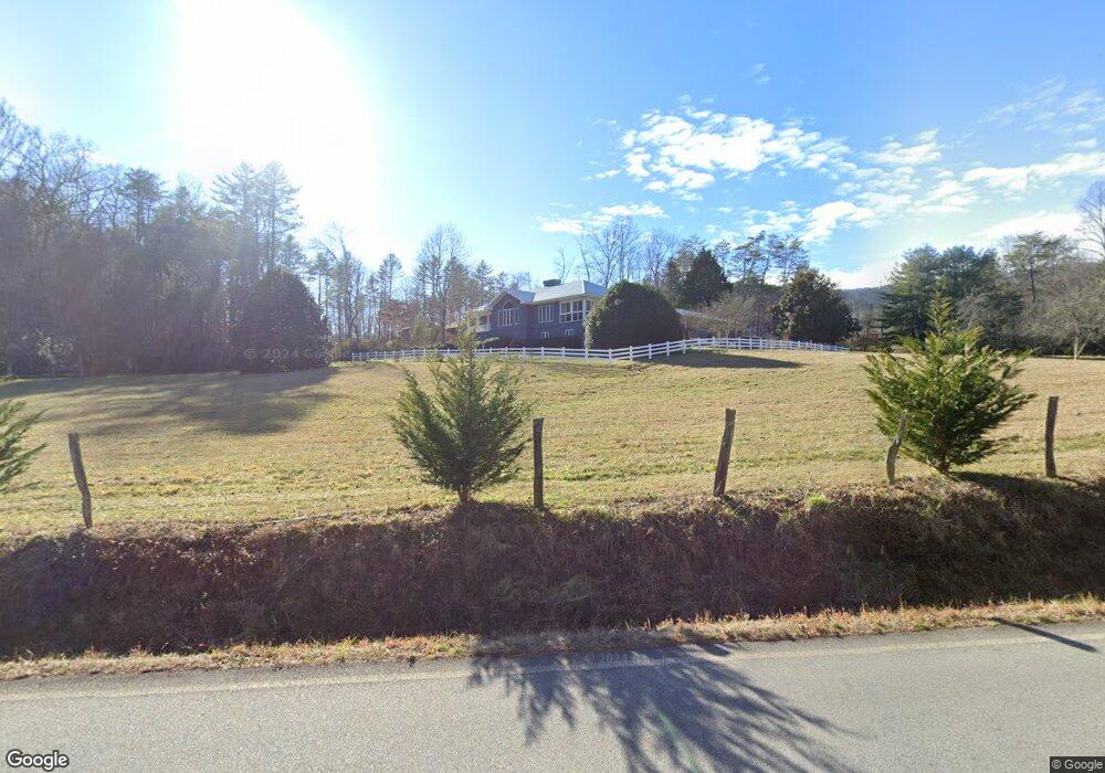
1311 John Beck Dockins Rd Rabun Gap, GA 30568
Estimated Value: $527,321 - $621,000
3
Beds
2
Baths
2,249
Sq Ft
$257/Sq Ft
Est. Value
About This Home
This home is located at 1311 John Beck Dockins Rd, Rabun Gap, GA 30568 and is currently estimated at $579,080, approximately $257 per square foot. 1311 John Beck Dockins Rd is a home located in Rabun County with nearby schools including Rabun County Primary School, Rabun County High School, and Rabun Gap Nacoochee School.
Ownership History
Date
Name
Owned For
Owner Type
Purchase Details
Closed on
Dec 6, 2019
Sold by
Kilby Virgil L
Bought by
Prince George E and Prince Debbie A
Current Estimated Value
Home Financials for this Owner
Home Financials are based on the most recent Mortgage that was taken out on this home.
Original Mortgage
$251,200
Outstanding Balance
$220,032
Interest Rate
3.6%
Mortgage Type
New Conventional
Estimated Equity
$359,048
Purchase Details
Closed on
Jul 1, 1996
Bought by
Kilby Virgil L
Purchase Details
Closed on
Aug 1, 1986
Purchase Details
Closed on
Oct 1, 1979
Create a Home Valuation Report for This Property
The Home Valuation Report is an in-depth analysis detailing your home's value as well as a comparison with similar homes in the area
Home Values in the Area
Average Home Value in this Area
Purchase History
| Date | Buyer | Sale Price | Title Company |
|---|---|---|---|
| Prince George E | $314,000 | -- | |
| Prince George E | $314,000 | -- | |
| Kilby Virgil L | $200,000 | -- | |
| Kilby Virgil L | $200,000 | -- | |
| -- | $28,500 | -- | |
| -- | $28,500 | -- | |
| -- | $17,700 | -- | |
| -- | $17,700 | -- |
Source: Public Records
Mortgage History
| Date | Status | Borrower | Loan Amount |
|---|---|---|---|
| Open | Prince George E | $251,200 | |
| Closed | Prince George E | $251,200 |
Source: Public Records
Tax History Compared to Growth
Tax History
| Year | Tax Paid | Tax Assessment Tax Assessment Total Assessment is a certain percentage of the fair market value that is determined by local assessors to be the total taxable value of land and additions on the property. | Land | Improvement |
|---|---|---|---|---|
| 2025 | $2,728 | $169,975 | $23,750 | $146,225 |
| 2024 | $2,600 | $161,982 | $23,750 | $138,232 |
| 2023 | $2,651 | $144,835 | $22,353 | $122,482 |
| 2022 | $2,552 | $139,442 | $20,956 | $118,486 |
| 2021 | $2,345 | $125,063 | $19,559 | $105,504 |
| 2020 | $2,374 | $122,399 | $19,559 | $102,840 |
| 2019 | $2,391 | $122,399 | $19,559 | $102,840 |
| 2018 | $1,641 | $97,088 | $17,781 | $79,307 |
| 2017 | $1,788 | $97,088 | $17,781 | $79,307 |
| 2016 | $1,793 | $97,088 | $17,781 | $79,307 |
| 2015 | $1,859 | $98,514 | $17,781 | $80,733 |
| 2014 | $2,138 | $112,436 | $21,364 | $91,072 |
Source: Public Records
Map
Nearby Homes
- 137 Olds Mountain Peak Rd
- 243 Degroff Ln
- 0 John Beck Dockins Rd Unit 10606531
- 786 Hope Haven Ln
- 1422 Wolffork Rd
- 153 Coleman Heights Ln
- 5192 Wolffork Rd
- 52 Lucky Ln
- 0 Uplander Unit 10628218
- 0 Uplander Unit M181832
- 784 Wolffork Church Rd
- 0 Wolffork Rd Unit 10624471
- 0 Ov Justus Rd
- 0 N U S 441 NW Unit 10489249
- 0 Stella Ln Unit 10485082
- 5019 Wolffork Rd
- 0 Us-441 S Unit 10226435
- 208 Colony Rd
- 476 Franklin St
- 108 Olds Mountain Peak Rd
- 6880 Wolffork Rd
- 911 Bob Mark Trail
- 6959 Wolffork Rd
- 1303 John Beck Dockins Rd
- 0 Cathy Parker Ln Unit 5930540
- 0 Cathy Parker Ln Unit 5930537
- 0 Cathy Parker Ln Unit 5930539
- 0 Cathy Parker Ln Unit Lot 5 & 8 8285209
- 0 Cathy Parker Ln Unit Lot 5 8285207
- 0 Cathy Parker Ln Unit LOT 5 7058277
- 0 Cathy Parker Ln Unit LOT 8 7058263
- 0 Cathy Parker Ln Unit 5 8056227
- 0 Cathy Parker Ln Unit 6580484
- 0 Cathy Parker Ln Unit 6548070
- 77 Cathy Parker Ln
- 69 Cathy Parker Ln
- 7025 Wolffork Rd
- 150 Cathy Parker Ln
- 6800 Wolffork Rd
- 74 Cathy Parker Ln