1311 Millstone Run Bogart, GA 30622
Jennings Mill NeighborhoodEstimated Value: $719,953 - $879,000
5
Beds
3
Baths
2,723
Sq Ft
$285/Sq Ft
Est. Value
About This Home
This home is located at 1311 Millstone Run, Bogart, GA 30622 and is currently estimated at $776,238, approximately $285 per square foot. 1311 Millstone Run is a home located in Oconee County with nearby schools including Malcom Bridge Elementary School, Malcom Bridge Middle School, and North Oconee High School.
Ownership History
Date
Name
Owned For
Owner Type
Purchase Details
Closed on
Mar 31, 2025
Sold by
Carter Robert R
Bought by
Redfern Megan and Mcgough Jon
Current Estimated Value
Purchase Details
Closed on
Mar 13, 2015
Sold by
Carter Robert R
Bought by
Carter Robert R and Carter Jeannie G
Home Financials for this Owner
Home Financials are based on the most recent Mortgage that was taken out on this home.
Original Mortgage
$271,491
Interest Rate
4.75%
Mortgage Type
FHA
Create a Home Valuation Report for This Property
The Home Valuation Report is an in-depth analysis detailing your home's value as well as a comparison with similar homes in the area
Home Values in the Area
Average Home Value in this Area
Purchase History
| Date | Buyer | Sale Price | Title Company |
|---|---|---|---|
| Redfern Megan | $740,000 | -- | |
| Carter Robert R | -- | -- | |
| Carter Robert R | $276,500 | -- |
Source: Public Records
Mortgage History
| Date | Status | Borrower | Loan Amount |
|---|---|---|---|
| Previous Owner | Carter Robert R | $271,491 |
Source: Public Records
Tax History Compared to Growth
Tax History
| Year | Tax Paid | Tax Assessment Tax Assessment Total Assessment is a certain percentage of the fair market value that is determined by local assessors to be the total taxable value of land and additions on the property. | Land | Improvement |
|---|---|---|---|---|
| 2024 | $3,764 | $194,956 | $36,000 | $158,956 |
| 2023 | $3,643 | $178,457 | $30,000 | $148,457 |
| 2022 | $3,337 | $155,552 | $30,000 | $125,552 |
| 2021 | $3,320 | $143,420 | $30,000 | $113,420 |
| 2020 | $3,093 | $133,380 | $30,000 | $103,380 |
| 2019 | $2,867 | $123,633 | $30,000 | $93,633 |
| 2018 | $2,805 | $118,418 | $30,000 | $88,418 |
| 2017 | $2,704 | $114,174 | $30,000 | $84,174 |
| 2016 | $2,620 | $113,429 | $30,000 | $83,429 |
| 2015 | $2,548 | $107,339 | $30,000 | $77,339 |
| 2014 | $2,522 | $103,862 | $30,000 | $73,862 |
| 2013 | -- | $106,548 | $34,000 | $72,548 |
Source: Public Records
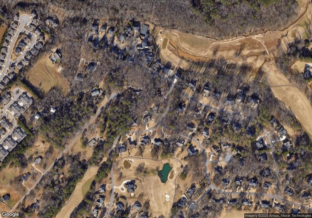
Map
Nearby Homes
- 1291 Millstone Run
- 1291 Millstone Run
- 1331 Millstone Run
- 1171 Ramser Dr
- 1280 Kenway Dr
- 1271 Millstone Run
- 1151 Ramser Dr
- 1290 Millstone Run
- 1290 Millstone Run
- 1190 Ramser Dr
- 1180 Ramser Dr
- 1191 Forrest Hills Dr
- 1191 Forrest Hills Dr
- 1200 Ramser Dr
- 1280 Millstone Run
- 1280 Millstone Run
- 1200 Ramser Dr
- 1180 Forrest Hills Dr