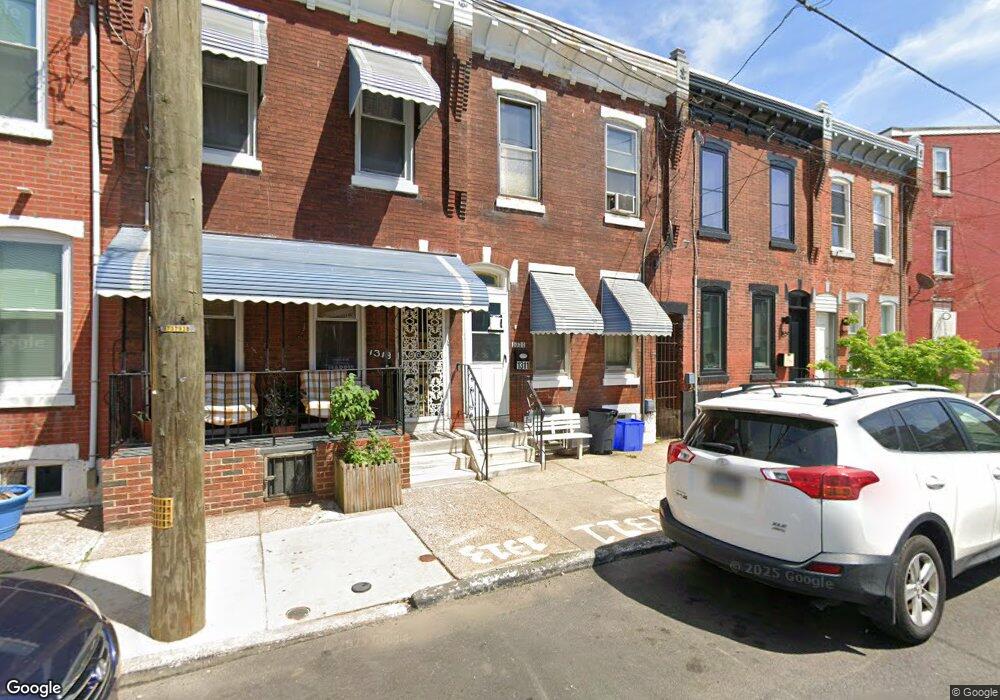
1311 N Marston St Philadelphia, PA 19121
Brewerytown NeighborhoodEstimated Value: $145,000 - $247,000
3
Beds
1
Bath
1,060
Sq Ft
$186/Sq Ft
Est. Value
About This Home
This home is located at 1311 N Marston St, Philadelphia, PA 19121 and is currently estimated at $197,039, approximately $185 per square foot. 1311 N Marston St is a home located in Philadelphia County with nearby schools including Morris Robert School, Vaux High School: A. Big Picture School, and The City School-Fairmount Campus.
Ownership History
Date
Name
Owned For
Owner Type
Purchase Details
Closed on
Mar 1, 2006
Sold by
Jones Lena B Giles and Bradley Richard Deen K
Bought by
Jones Lena B Giles
Current Estimated Value
Purchase Details
Closed on
Dec 5, 1998
Sold by
Jones Lena B Giles and Weary Geneva
Bought by
Jones Lena B Giles and Bradley Richard Deen K
Purchase Details
Closed on
Dec 15, 1994
Sold by
Jones Lena B and Giles Lydia
Bought by
Jones Lena B Giles and Weary Geneva
Create a Home Valuation Report for This Property
The Home Valuation Report is an in-depth analysis detailing your home's value as well as a comparison with similar homes in the area
Home Values in the Area
Average Home Value in this Area
Purchase History
| Date | Buyer | Sale Price | Title Company |
|---|---|---|---|
| Jones Lena B Giles | $200 | None Available | |
| Jones Lena B Giles | $1,660 | -- | |
| Jones Lena B Giles | -- | -- |
Source: Public Records
Tax History Compared to Growth
Tax History
| Year | Tax Paid | Tax Assessment Tax Assessment Total Assessment is a certain percentage of the fair market value that is determined by local assessors to be the total taxable value of land and additions on the property. | Land | Improvement |
|---|---|---|---|---|
| 2026 | $252 | $171,700 | $34,300 | $137,400 |
| 2025 | $252 | $171,700 | $34,300 | $137,400 |
| 2024 | $252 | $171,700 | $34,300 | $137,400 |
| 2023 | $252 | $166,100 | $33,220 | $132,880 |
| 2022 | $252 | $18,000 | $18,000 | $0 |
| 2021 | $252 | $0 | $0 | $0 |
| 2020 | $252 | $0 | $0 | $0 |
| 2019 | $252 | $0 | $0 | $0 |
| 2018 | $252 | $0 | $0 | $0 |
| 2017 | $252 | $0 | $0 | $0 |
| 2016 | $252 | $0 | $0 | $0 |
| 2015 | $241 | $0 | $0 | $0 |
| 2014 | -- | $37,000 | $3,088 | $33,912 |
| 2012 | -- | $1,920 | $635 | $1,285 |
Source: Public Records
Map
Nearby Homes
- 2707 W Thompson St
- 1303 N 27th St
- 1334 N 27th St
- 1319 N 28th St
- 2846 Lecount St
- 2726 W Master St
- 2729 W Stiles St
- 1310 N 26th St
- 2812 W Master St
- 1319 N Dover St
- 2715 W Flora St
- 2719 W Flora St
- 1329 N Dover St
- 1237 N Newkirk St
- 1203 N Etting St
- 1432 N Etting St
- 1437 N 28th St
- 2830 W Stiles St
- 1447 N 28th St
- 1450 N Etting St
- 1313 N Marston St
- 1315 N Marston St
- 1317 N Marston St
- 1310 N 27th St
- 1308 N 27th St
- 1306 N 27th St
- 1319 N Marston St
- 1312 N 27th St
- 2709 W Thompson St
- 2705 W Thompson St
- 2703 W Thompson St
- 2701 W Thompson St
- 1325 N Marston St
- 1325 N Marston St Unit 1
- 1325 N Marston St Unit 2
- 1325 N Marston St Unit B/TOP
- 1325 N Marston St Unit A/BOTT
- 1325 N Marston St
- 1325 N Marston St Unit A
- 1308 N Marston St