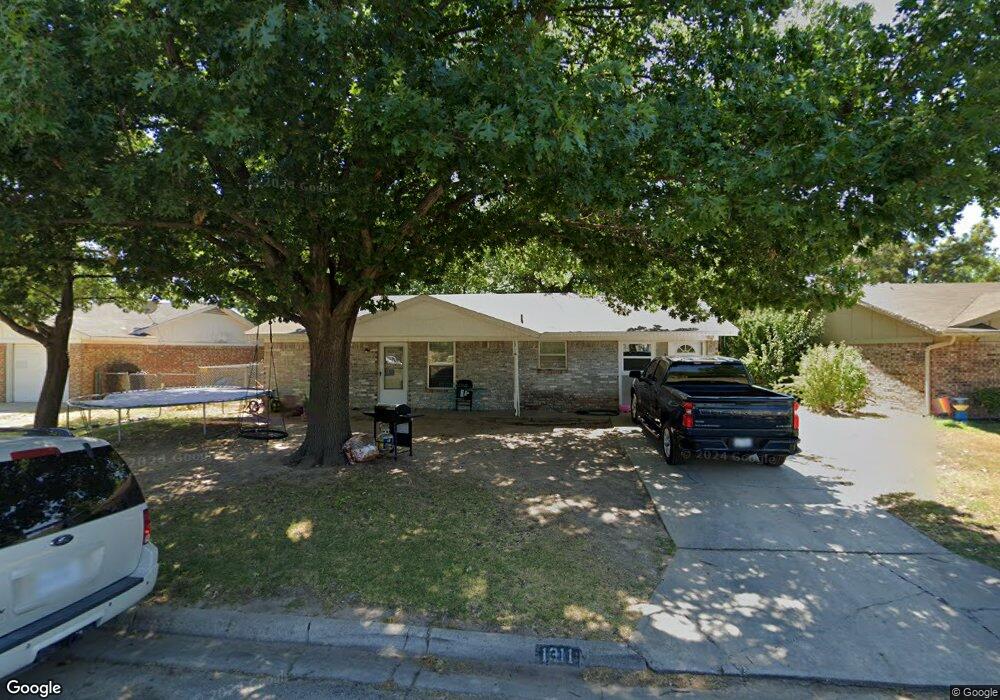
1311 Noel Dr Gainesville, TX 76240
Estimated Value: $173,000 - $199,000
2
Beds
1
Bath
986
Sq Ft
$186/Sq Ft
Est. Value
About This Home
This home is located at 1311 Noel Dr, Gainesville, TX 76240 and is currently estimated at $183,881, approximately $186 per square foot. 1311 Noel Dr is a home located in Cooke County with nearby schools including Edison Elementary School, W.E. Chalmers Elementary School, and Gainesville Jr. High School.
Ownership History
Date
Name
Owned For
Owner Type
Purchase Details
Closed on
Sep 17, 2013
Sold by
Reed David R and Reed Amanda Susie
Bought by
Nava Hervey
Current Estimated Value
Home Financials for this Owner
Home Financials are based on the most recent Mortgage that was taken out on this home.
Original Mortgage
$63,822
Outstanding Balance
$48,136
Interest Rate
4.75%
Mortgage Type
FHA
Estimated Equity
$135,745
Purchase Details
Closed on
Dec 8, 2005
Sold by
Steed Edalou R and Camp Vickie Lynn
Bought by
Reed David R and Reed Amanda Susie
Create a Home Valuation Report for This Property
The Home Valuation Report is an in-depth analysis detailing your home's value as well as a comparison with similar homes in the area
Home Values in the Area
Average Home Value in this Area
Purchase History
| Date | Buyer | Sale Price | Title Company |
|---|---|---|---|
| Nava Hervey | -- | None Available | |
| Reed David R | -- | -- |
Source: Public Records
Mortgage History
| Date | Status | Borrower | Loan Amount |
|---|---|---|---|
| Open | Nava Hervey | $63,822 |
Source: Public Records
Tax History Compared to Growth
Tax History
| Year | Tax Paid | Tax Assessment Tax Assessment Total Assessment is a certain percentage of the fair market value that is determined by local assessors to be the total taxable value of land and additions on the property. | Land | Improvement |
|---|---|---|---|---|
| 2025 | $1,611 | $143,296 | $36,014 | $145,910 |
| 2024 | $1,611 | $181,924 | $36,014 | $145,910 |
| 2023 | $2,323 | $118,426 | $32,727 | $137,751 |
| 2022 | $2,344 | $142,193 | $27,273 | $114,920 |
| 2021 | $2,520 | $110,838 | $18,182 | $92,656 |
| 2020 | $2,363 | $97,109 | $18,182 | $78,927 |
| 2019 | $2,211 | $87,456 | $18,182 | $69,274 |
| 2018 | $2,007 | $73,533 | $9,091 | $64,442 |
| 2017 | $1,917 | $70,524 | $9,091 | $61,433 |
| 2015 | $1,467 | $67,859 | $10,000 | $57,859 |
| 2014 | $1,467 | $62,359 | $10,000 | $52,359 |
Source: Public Records
Map
Nearby Homes
- 1305 Anthony St
- 1200 S Wine St
- 1203 Anthony St
- 3291 Fm 372
- 1108 Locust St
- 1131 Old Denton Rd
- 1118 S Grand Ave
- 1108 S Morris St
- 1005 S Clements St
- 1408 Doty St
- 1135 Vintage Ave
- 1520 Harris St
- 1522 Harris St
- 1013 Murphy St
- 1704 Harris St
- 1800 Silver Oaks Dr
- 1822 Vallana Dr
- 1537 Burns City Rd
- 1722 Morningside Dr
- 701 S Clements St
- 1313 Noel Dr
- 1309 Noel Dr
- 1401 Noel Dr
- 1307 Noel Dr
- 1411 Natalie Dr
- 1403 Noel Dr
- 1410 Patricia Dr
- 1305 Noel Dr
- 1410 Natalie Dr
- 1413 Natalie Dr
- 1409 Patricia Dr
- 1405 Noel Dr
- 1412 Patricia Dr
- 1411 Patricia Dr
- 1412 Natalie Dr
- 1501 Natalie Dr
- 1411 Nila Dr
- 1500 Patricia Dr
- 1413 Patricia Dr
- 1500 Natalie Dr